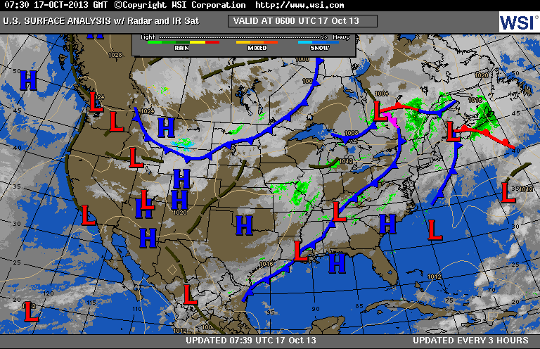
Looks like a busy map...it is and will get busier next week. Cold front over Appalachians will weaken. Cold front over Northern Plains will head east and bring cooler air to The East late weekend and early next week. Progressively chilly air will head south into The U.S. next week so the month will end on a colder note...even wintry in places.
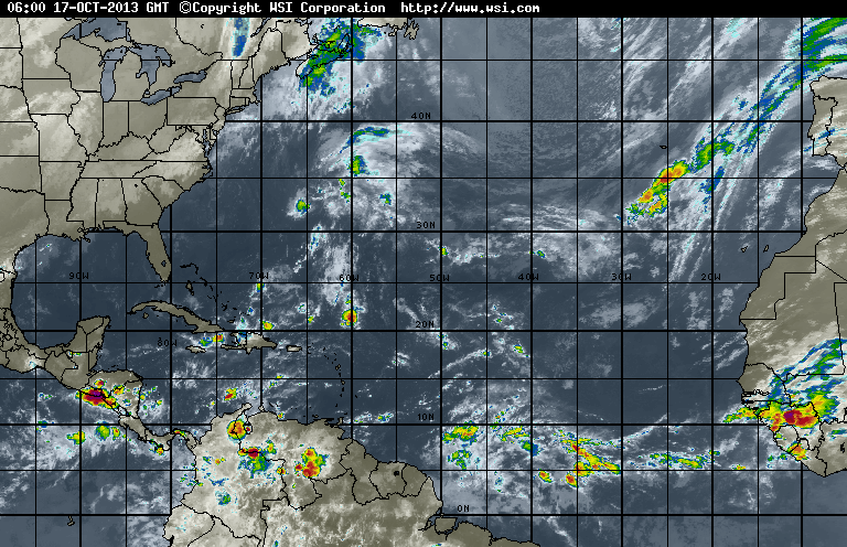
Tropics...still quiet. Area in south central Atlantic still some concern...but nothing jumping out on us.
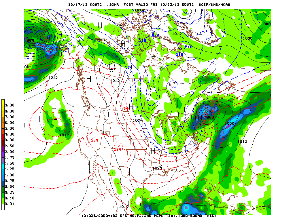
The above model map is the GFS valid for next Thursday. Why am I showing you this ? It is the only model indicating a wintry nor-easter for The Northeast. This model wants to bring snow to the northeast...but only model doing so. I am not ignoring it....as I have seen this pattern
before and it can happen...but odds are not high. Even if the model is wrong....the trend to much colder weather is quite likely by this time next week....so we are preparing you. Later.
before and it can happen...but odds are not high. Even if the model is wrong....the trend to much colder weather is quite likely by this time next week....so we are preparing you. Later.

 RSS Feed
