Good news is that the arctic air will be taking a hike and a thaw will spread across much of the Nation thru the weekend and into early next week. The worst wintry weather will be found in the Northwest. Temps will respond to near or above normal...and with that will come rain
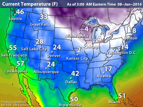
for much of the East this weekend. Below...current temp. map.
for much of the East this weekend. Below...current temp. map.
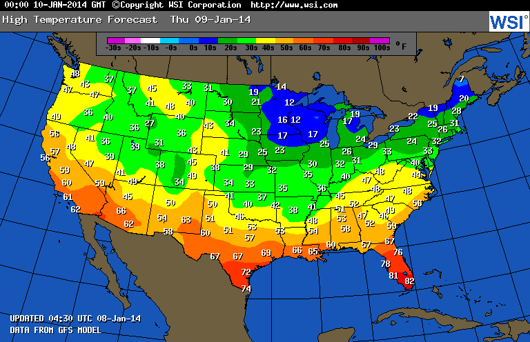
Above....expected temperatures for Thursday. Notice the lack of blue !
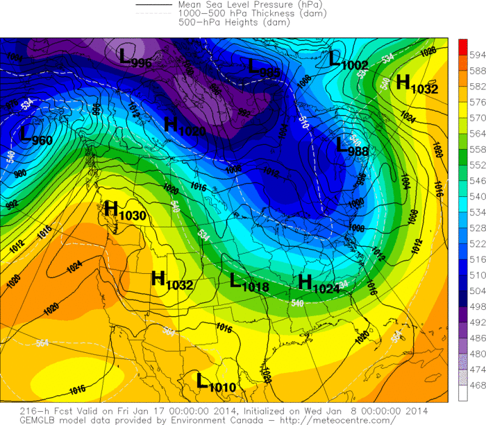
That's the cold air.....so area shrinking generously. A front will bring rain from west to east this weekend. Later next week...models show arctic air re-loading. Map below shows this cold air headed East ....which is next Thursday.
That's the cold air.....so area shrinking generously. A front will bring rain from west to east this weekend. Later next week...models show arctic air re-loading. Map below shows this cold air headed East ....which is next Thursday.
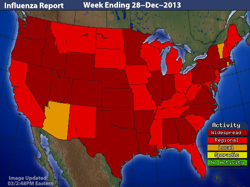
I don't see any big winter storms in the 5-7 day period...in fact...there will be some wintry mix situations.....otherwise I willing to bet that the next assault of winter will wait for month's end or February. Below...the current map indicated "flu". Not good...so please take care. Later.


 RSS Feed
