
Even the satellite hasn't changed ! Can you see the small white circle over Southern California ? That's the instigator for the next storm. It doesn't appear that there will be a merger of the 2 jets in time to bring a large storm to The East....but enough to mess things up Saturday and Saturday night. Snow for the Eastern third of the Nation..with the heaviest from Indiana-Ohio..Pa...NY...and New England. These places will get 4+ with 6-8" from Hudson Valley in NY to New Hampshire.
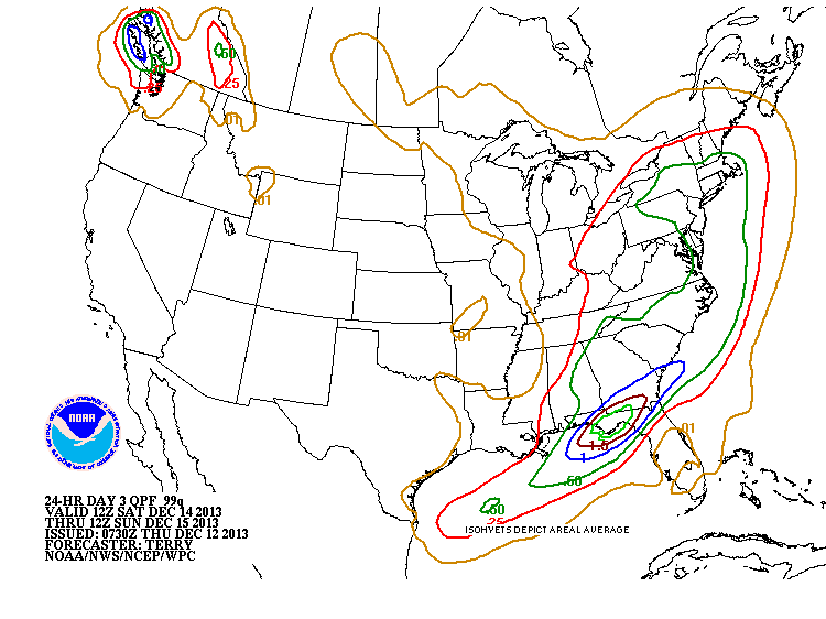
Above chart shows amount of liquid expected with the storm. Problem here....is that places that are real cold will have a better than 10 to 1 ratio. i.e. Albany NY expecting .50" liquid...normally 5" of snow but because it will be near 20 there...they could get 8".
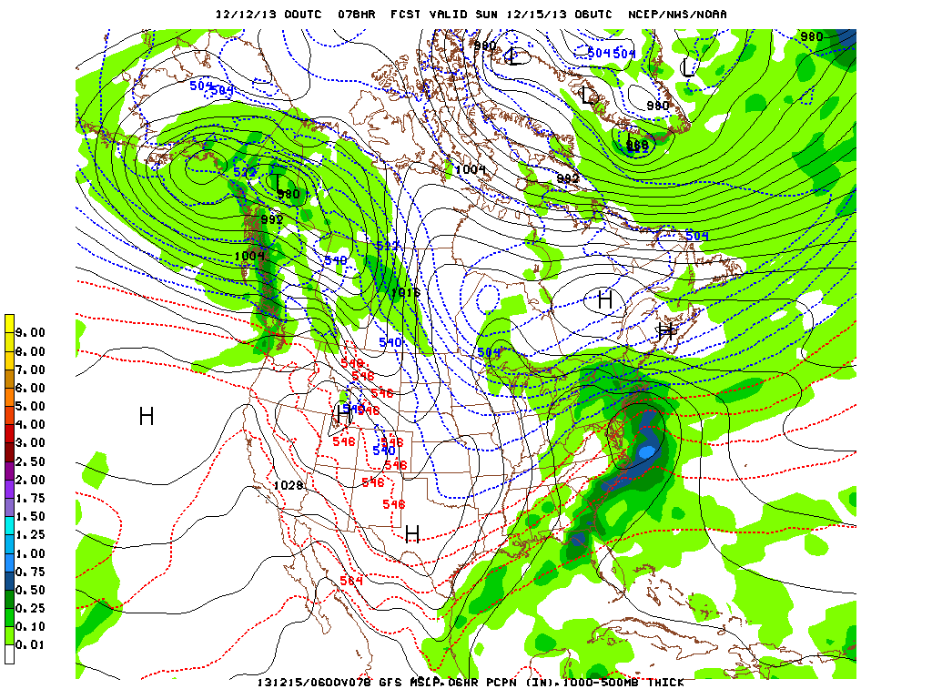
This is the GFS model for Saturday night. Storm is off mid Atlantic and rain/snow line is just south of Long Island, NY. Elsewhere across the Nation...cold...slowly easing but storm free. Later.

 RSS Feed
