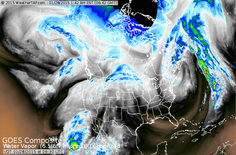
Satellite shows storm departing in the northeast. Light blue in Plains will bring some light snow eastward to the east coast by Friday. Notice the swirl in the southwest. That will head northeast and team up with northern jet to bring a significant winter storm across the Nation this weekend.
Snow and ice for Midwest & Ohio Valley on SuperBowl Sunday....heading for east coast SUnday nite and Monday....and it won't be pretty.
Snow and ice for Midwest & Ohio Valley on SuperBowl Sunday....heading for east coast SUnday nite and Monday....and it won't be pretty.
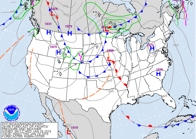
Map for this evening.....high pressure replaces the blizzard in the east. Next low in Midwest speeds east with just some light snow north of the track.
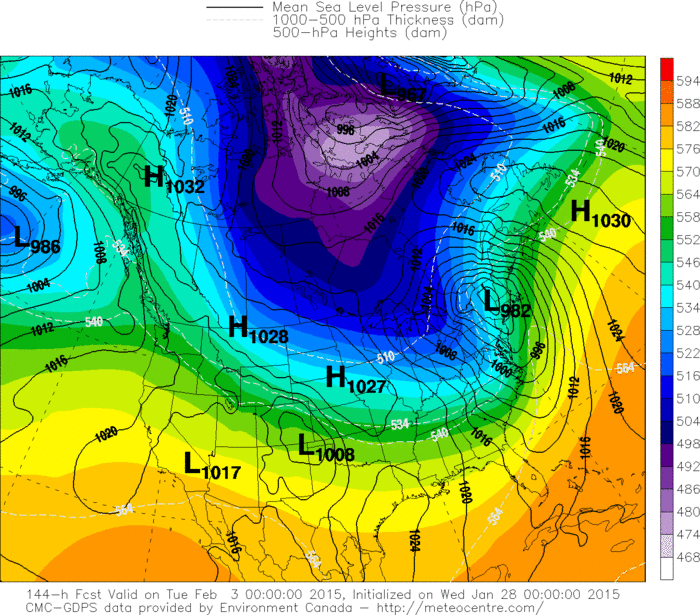
Canadian model above for Monday. Taking storm across New England where over 1 foot of snow will fall. South of the track - heavy snow..then ice..then rain down into
the Mid Atlantic.
the Mid Atlantic.
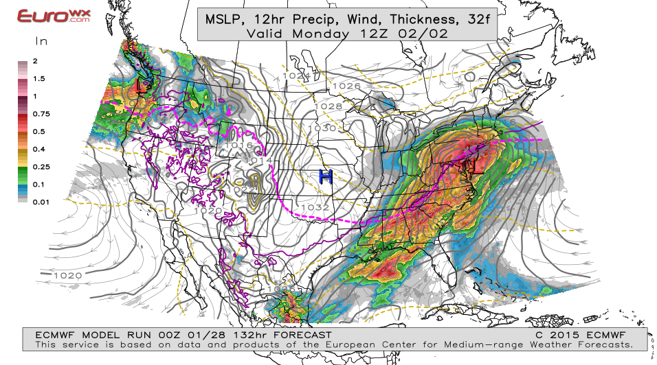
Above - The Euro Model brings the storm further south..
which would bring snow and ice down thru New York City etc. So in summary...models not together yet on this storm...should get better by end of week. Stay safe.
which would bring snow and ice down thru New York City etc. So in summary...models not together yet on this storm...should get better by end of week. Stay safe.

 RSS Feed
