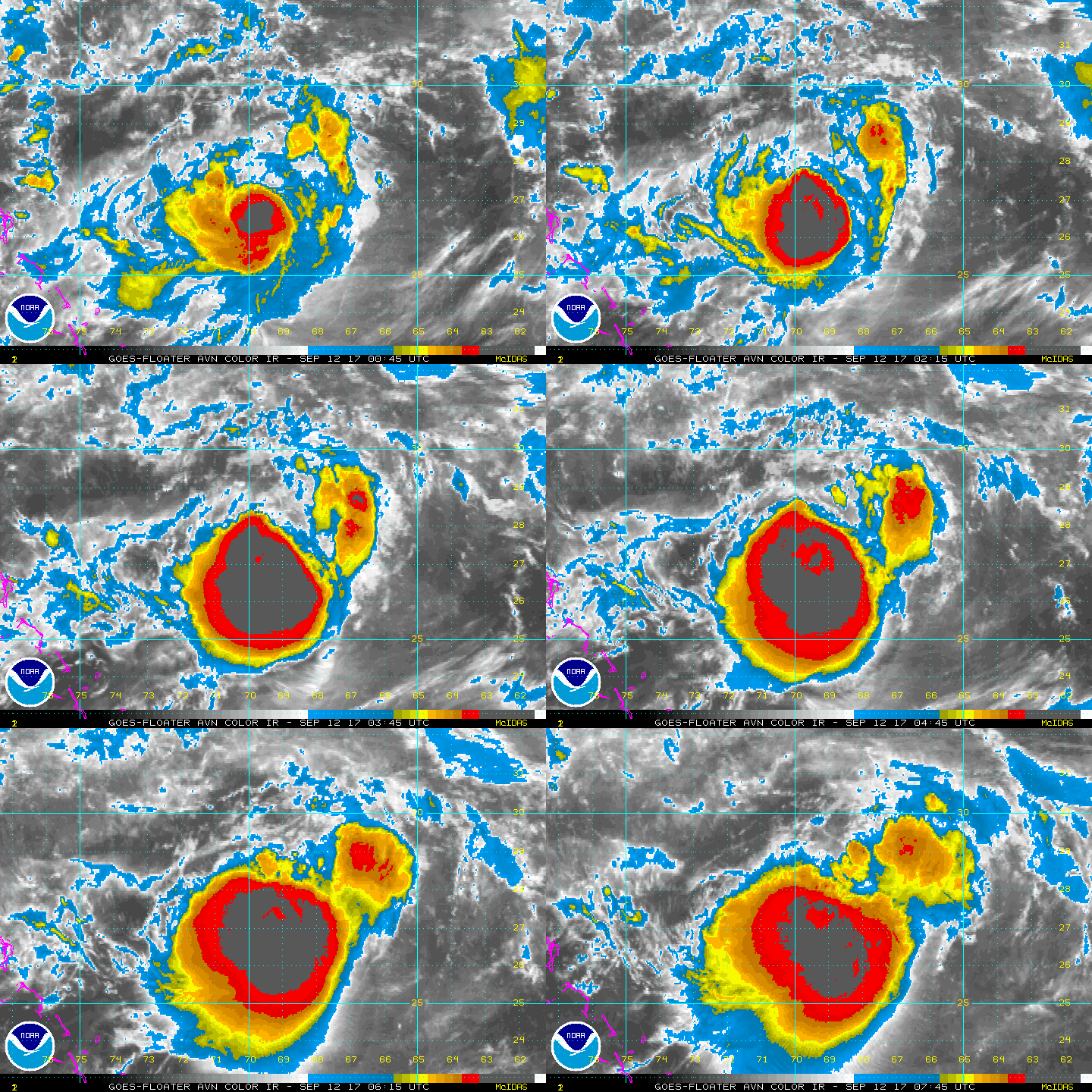
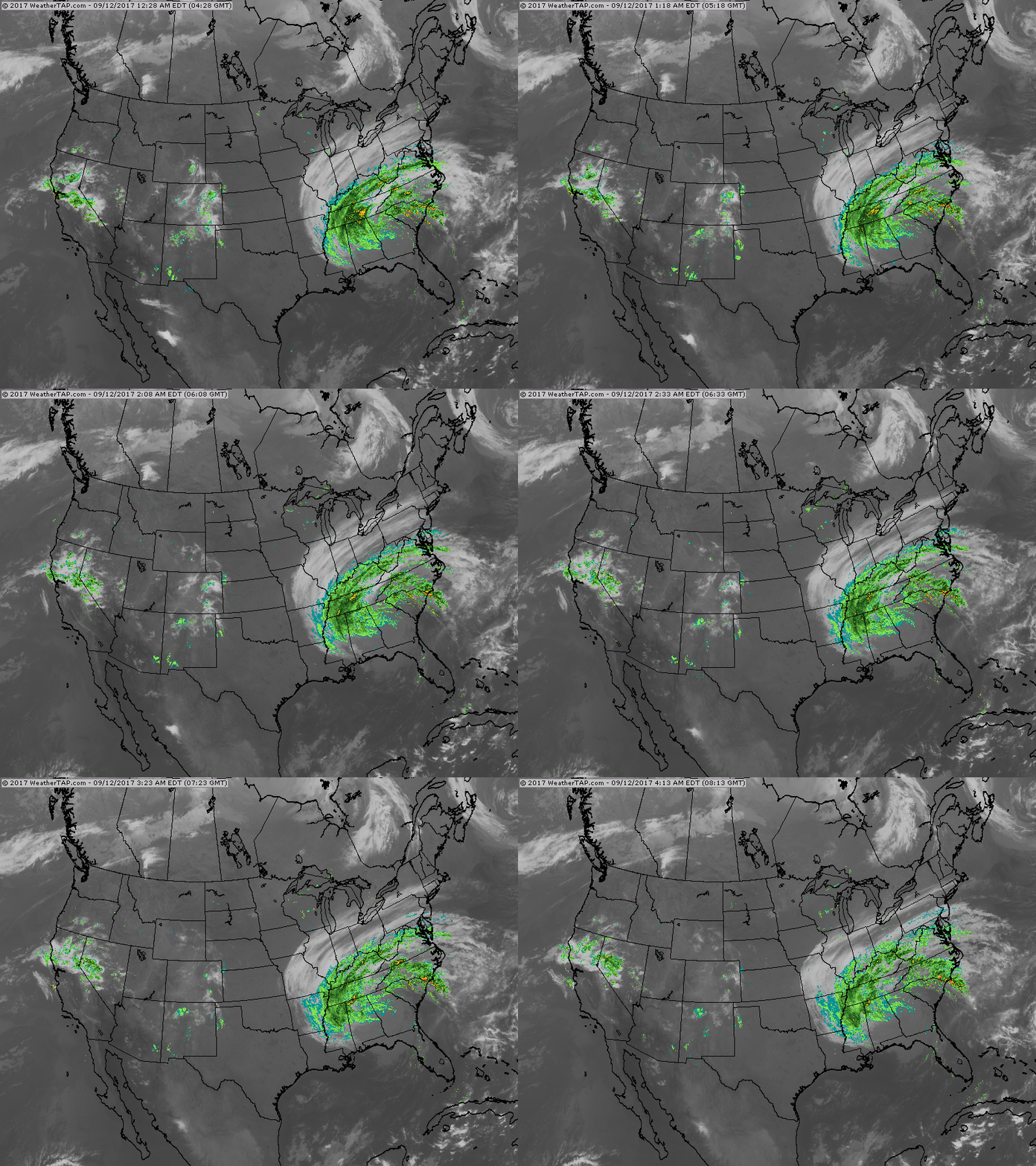
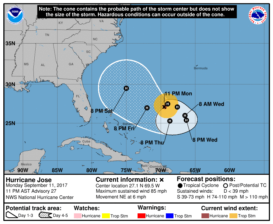
This satellite of Jose shows rapid deepening as the storm stalls east of The Bahamas. The storm will do a loop and then turn north and northeast out to sea....so say most of the models. Keep an eye on him. Below - satellite and radar showing the rain shield with Irma.
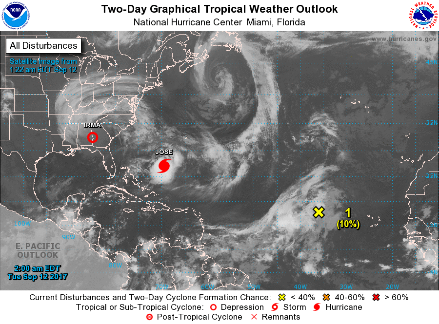
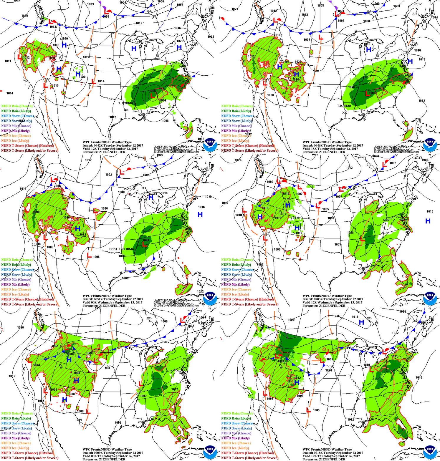
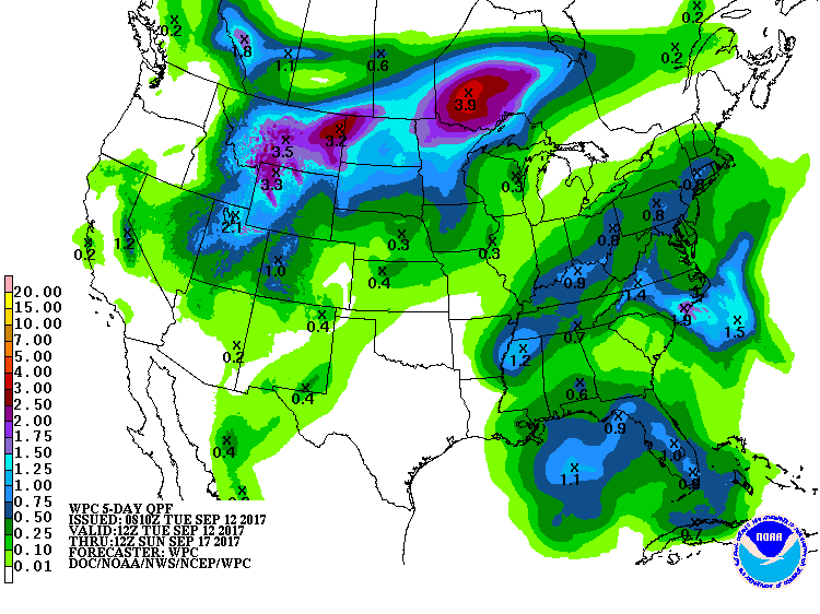
Below - satellite image of the Atlantic Basin..still busy. Animated weather maps for the next 2 days followed by amounts of rainfall for the next 5 days.
Below - track of Jose. Be safe.
 RSS Feed
