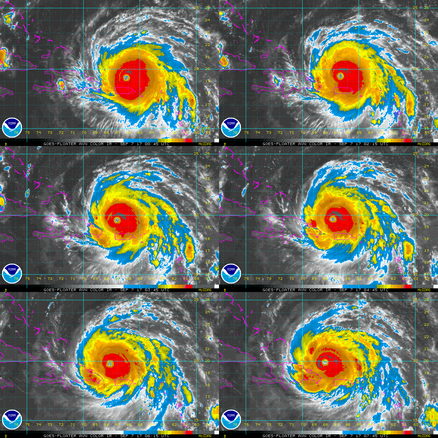
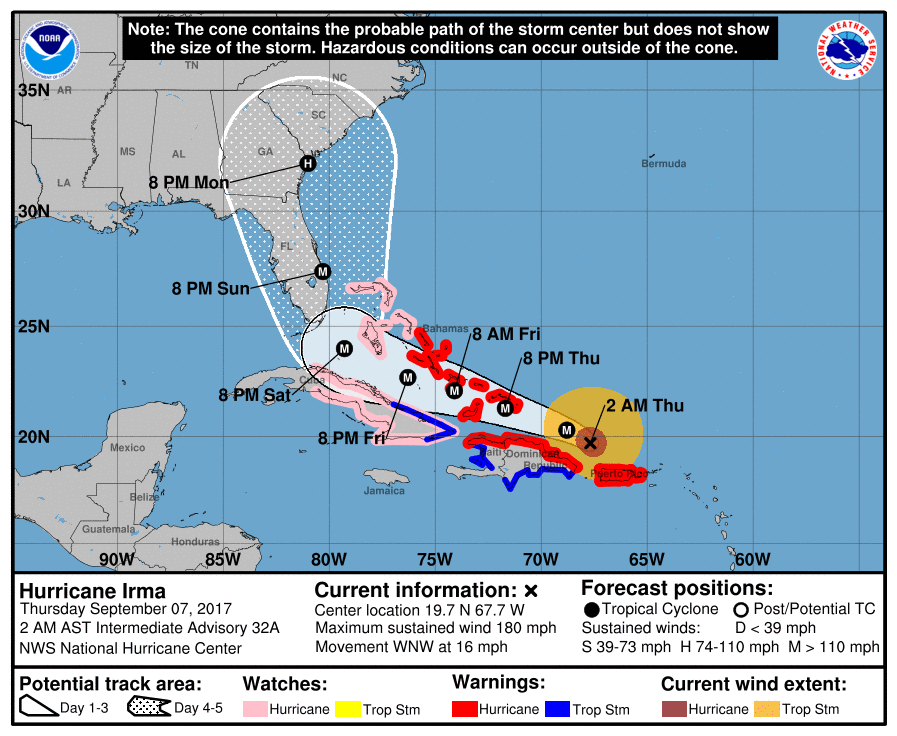
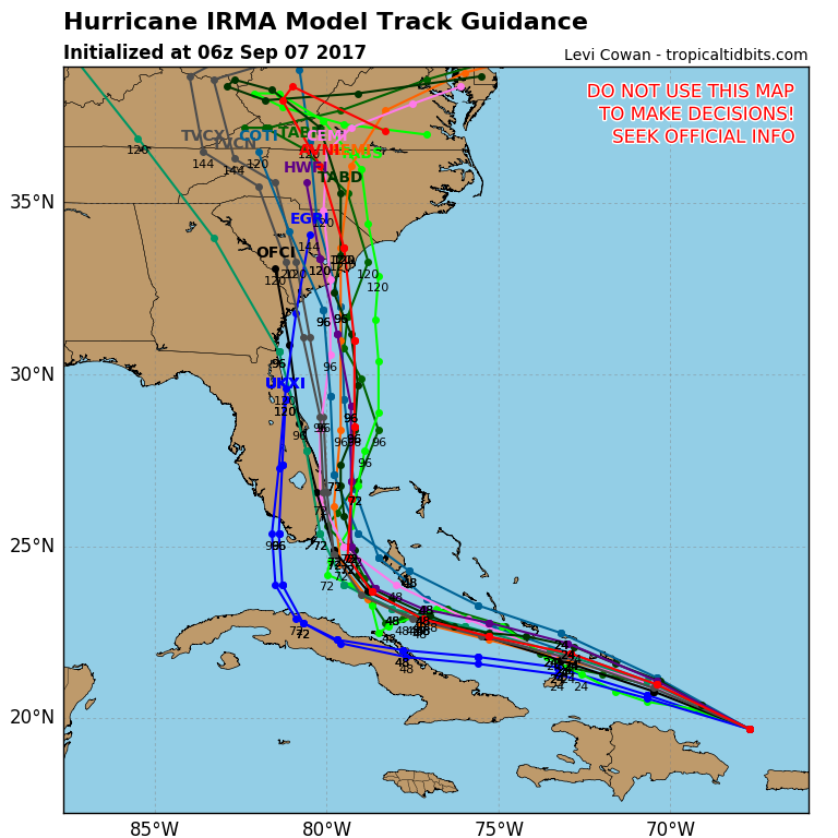
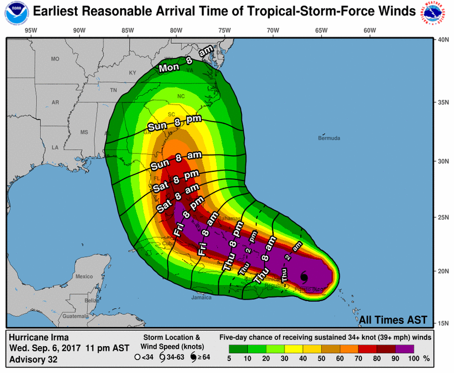
Irma passing north of the Dominican Republic and slamming the Southern Bahamas today - tonight. Still a fierce Cat 5 hurricane. She is likely to make more than 1 landfall is we believe the Euro model. First in Southern Fla...then she moves up the coast and makes landfall between Savannah Ga...and Wilmington N.C. .....which can take a harder hit due to storm surge. After that..she should rain herself out over the Central Appalachians and bring some rain to New England Wednesday. Below..track of Irma....expected wind.
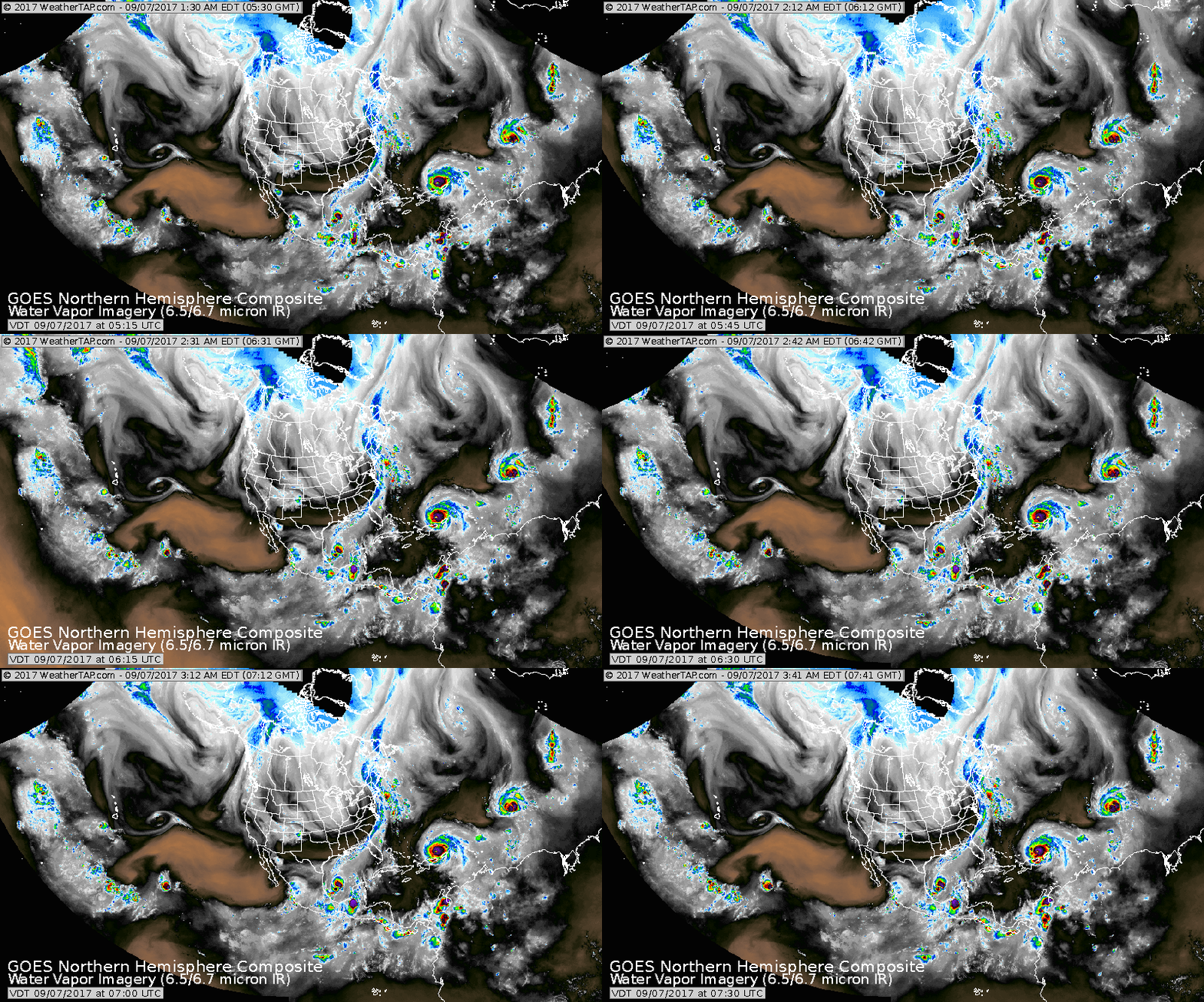
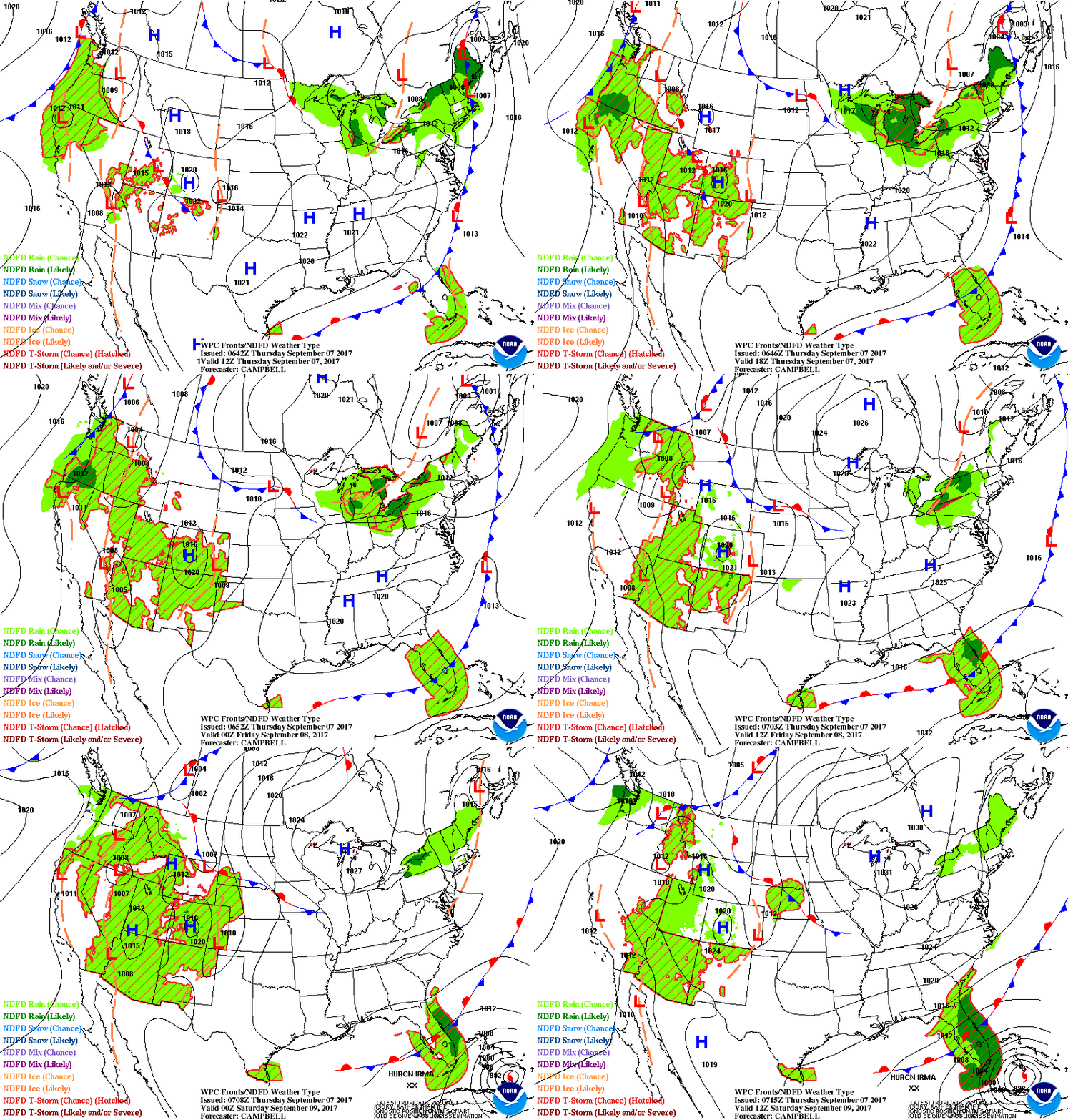
Below...satellite picture showing not 2 but 3 hurricanes at the same time. Katia will move into Mexico....and Jose ...needs to be watched....do not write him off yet. Another system off Africa could become Lee. Following that map - animation map for next 2 days.
Be safe...updates during the day.

 RSS Feed
