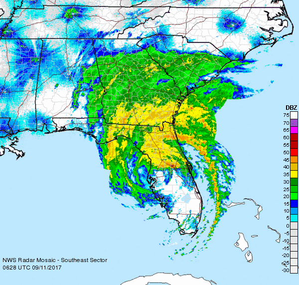
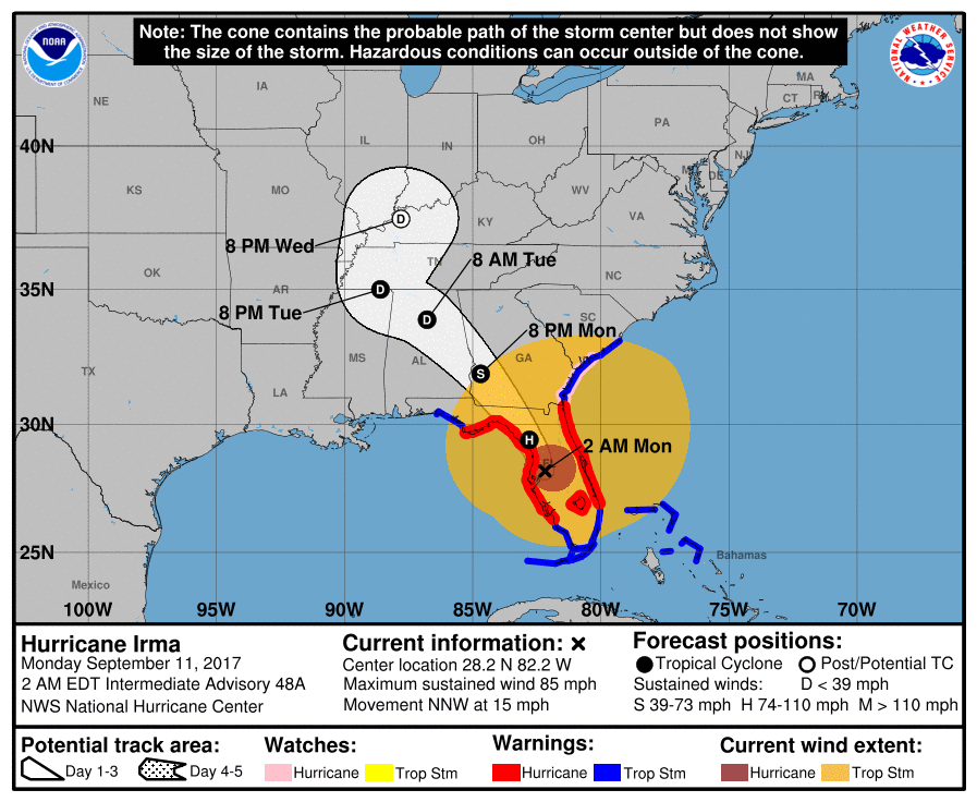
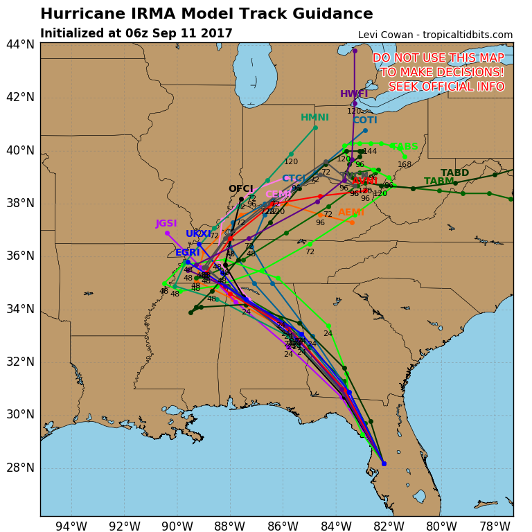
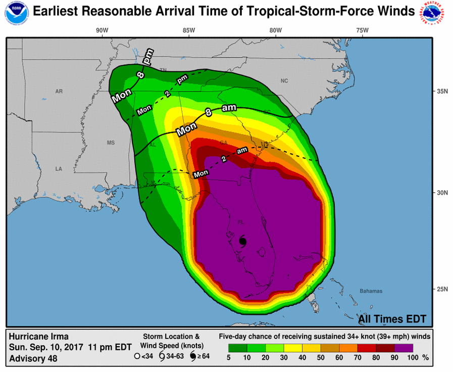
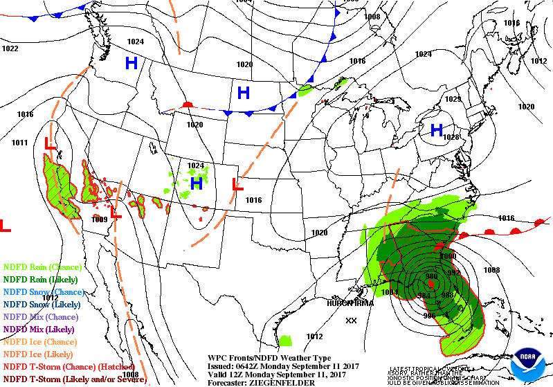
Above...Irma...on radar....showing a defined center near Crystal River, Fla still with winds gusting over 80 mph and heavy rain. She will weaken to a tropical storm by this evening over SW Georgia. Below...the various maps on Irma. Not much to tell since observations have been down due to electrical outages throughout the state.
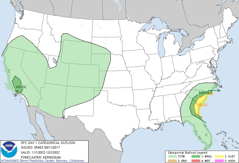
Above...today's risk of severe weather in dark green and yellow. Below..animated maps for the next 2 days.
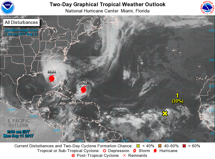
Below- map of Atlantic basin. Jose still packing 100mph winds + will spin around himself and then move north. No model knows where he will be going even though they take it northeast out into Atlantic. I have said this last week that we need to watch him....and that's what we will do.
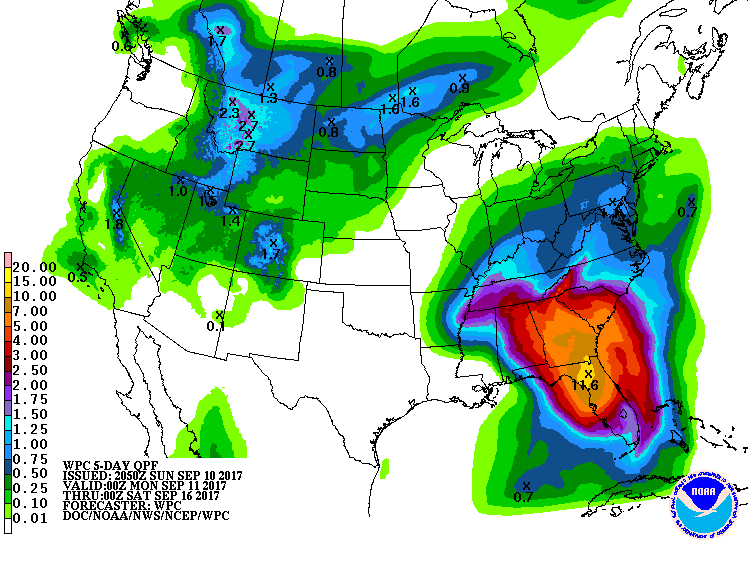
Below...rainfall for the next 5 days. Be safe.

 RSS Feed
