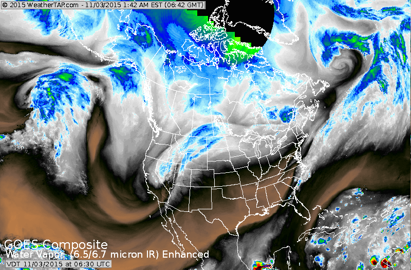
Satellite shows the jet stream rounding out over California and moving up through the Dakotas and then east across Southern Canada. The dip out west responsible for the windy..wet colder weather there...while the magenta color indicates dry and mild.
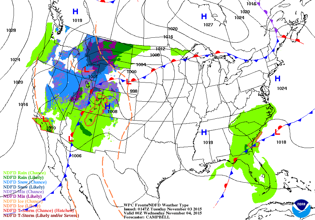
This map is for this evening...but you can see how it conforms to the satellite picture above. Notice the snow in the Rockies.
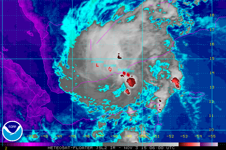
Below...satellite picture from former hurricane Chapala - which came ashore near Yemen last night. The track is superimposed over picture as the storm rapidly weakens over the dessert.
Be safe.
Below...satellite picture from former hurricane Chapala - which came ashore near Yemen last night. The track is superimposed over picture as the storm rapidly weakens over the dessert.
Be safe.

 RSS Feed
