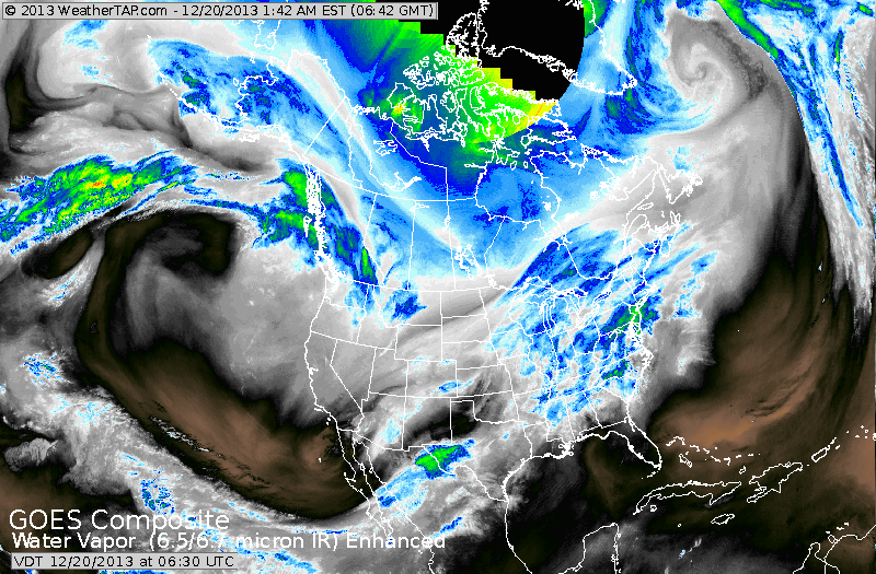
Animated satellite loop shows warm moist air surging across Gt.Lks and Ohio Valley...so cloudy..milder weather with showers beginning to head to East Coast. Notice the blue/green area in Texas. That is the next storm that will head northeast and not only be a big precip. producer....but result in severe weather for lower Mississippi Valley Saturday when severe thunderstorms and tornadoes are possible. On the other side of the storm...Central Plains into western Great Lakes will see ice then snow...4" +

Rains amounts expected Sunday into Monday. 3" from New Orleans to Atlanta.
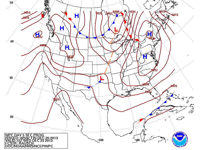
Expected weather map for Christmas Day. Fair..dry cold..East...some snowshowers upper Midwest into Great Lakes....otherwise most of the country quiet.
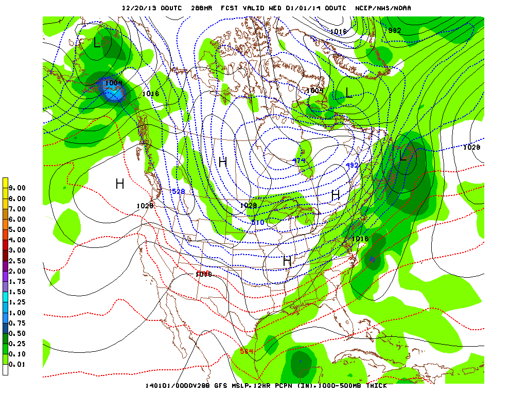
GFS Model for New Year's Eve. Clearing wants to bring snow from Mid Atlantic to Northeast.....not a biggie...but enough to make travel unattractive. Snowshowers from Rockies to upper Great Lakes. (green indicates moisture/ precip). We'll follow this...but I do think that the end of year or start of the new will present weather problem for East Coast.
Have a nice weekend...happy shopping and partying. BTW, most watched holiday movie on tv - It's A Wonderful Life.
Have a nice weekend...happy shopping and partying. BTW, most watched holiday movie on tv - It's A Wonderful Life.

 RSS Feed
