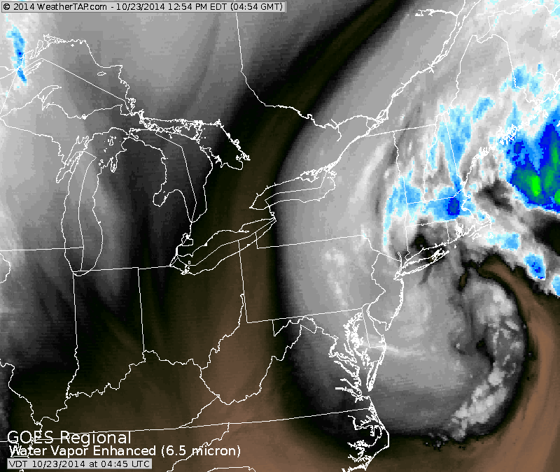
Satellite showing storm that has brought heavy rains and strong winds to the Northeast. Another day and it will be leaving.

Starting in the east.....swirling storm for New England. Heavy tropical moisture for So. Florida again today. Cold front central areas will weaken with time. Stronger front in Pacific Northwest will be next weather maker next week for the east.

You won't be getting a tan in So. Fla. next couple...tons of clouds and moisture.
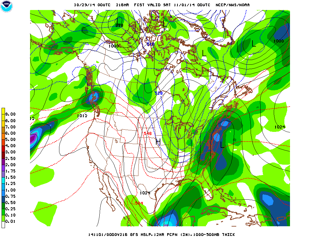
GFS model wants to blow up a big event for eastern half of the nation next week....ranging from wind and rain along the coast to snow over Great Lakes. Looks overdone to me.
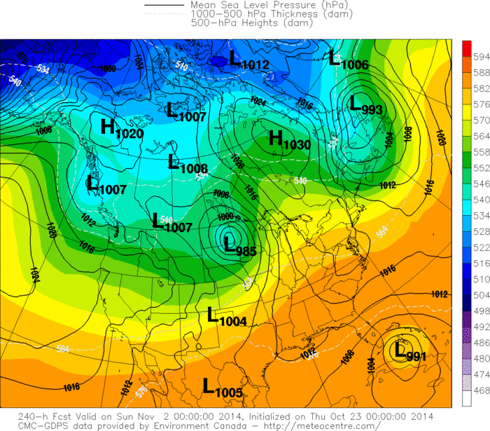
Canadian model does not give up....wanting to bring a tropical system toward Florida late next week. Sooner or later...it will have to be right.
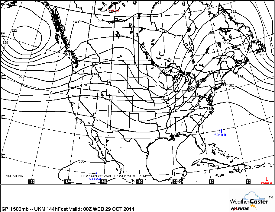
This is the upper air winds for next week projected by The UK MET Model. This model does not support the major event that The GFS is forecasting. Time will tell. Be safe...later.

 RSS Feed
