Below...you will see winter storm in the East moving out across New England. Next system in Northern Rockies heads east and by early next week will introduce another arctic cold wave that could be even colder than the one now in progress.

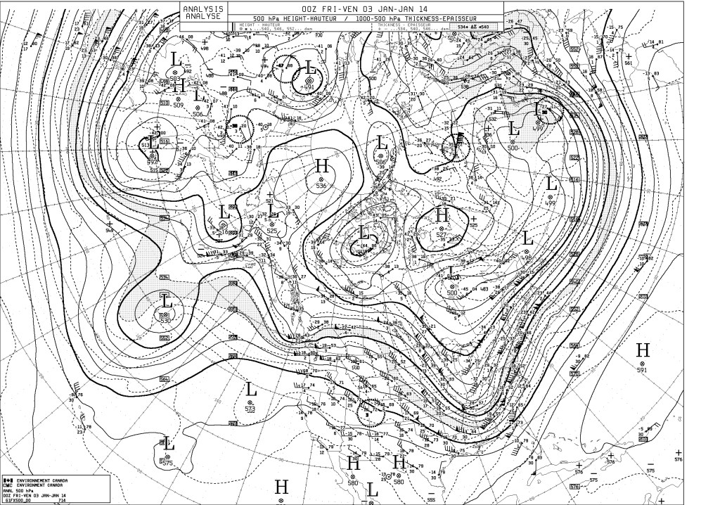
Map below is an upper air map...it shows how the winds are moving across the Nation. The big "v" is a trof...and it is helping to bring very cold air south across the Nation. Some places next week will average
30 to 40 below their normal temperatures.
30 to 40 below their normal temperatures.
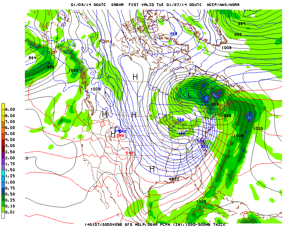
The map below is the GFS model for next Monday. The blue dotted lines indicate temperature. Notice the close spacing ? Notice how many lines are nestled along the East Coast. That indicates sharply colder weather...and in some cases may cause Flash Freezing next Monday.
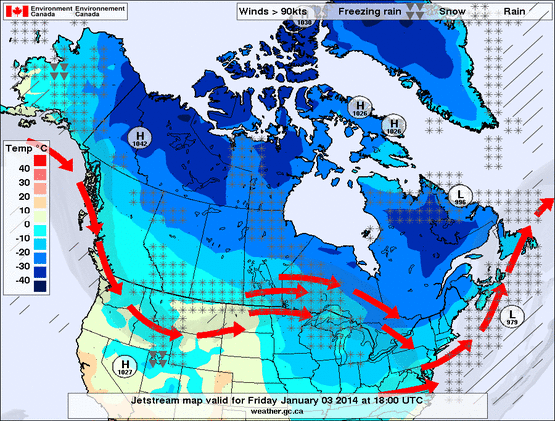
Above map shows basic jet stream and how it continues to bring cold air down from Canada especially across Northern third of the Nation.
Bundle up...be safe...have a nice weekend.
Bundle up...be safe...have a nice weekend.

 RSS Feed
