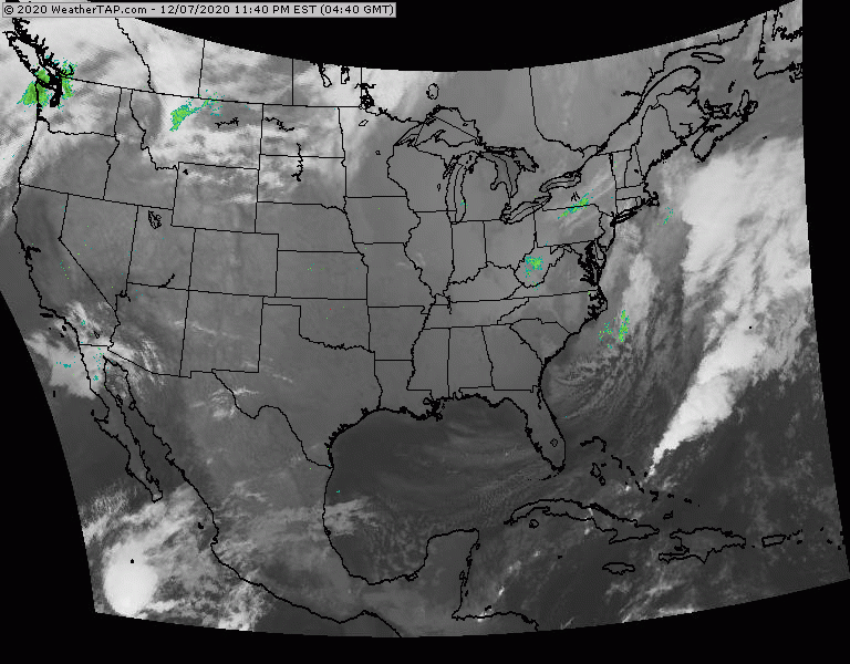
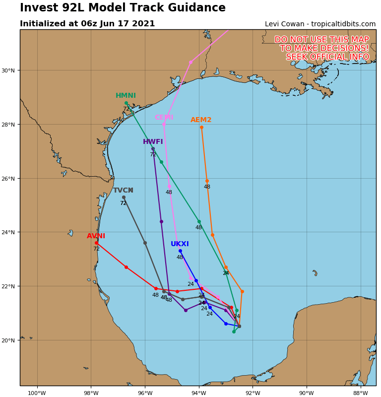
Satellite = radar above show a front from Gt. Lakes to Texas. Only cooler air behind front in Upper Midwest....otherwise it is less humid but still above average temps. Below - tropical Atlantic shows a disturbance in So. Atlantic likely to become Isaias. Tracks of computer models posted.

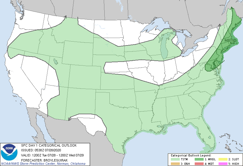
Below - animated maps - today's severe threat - rainfall through Saturday


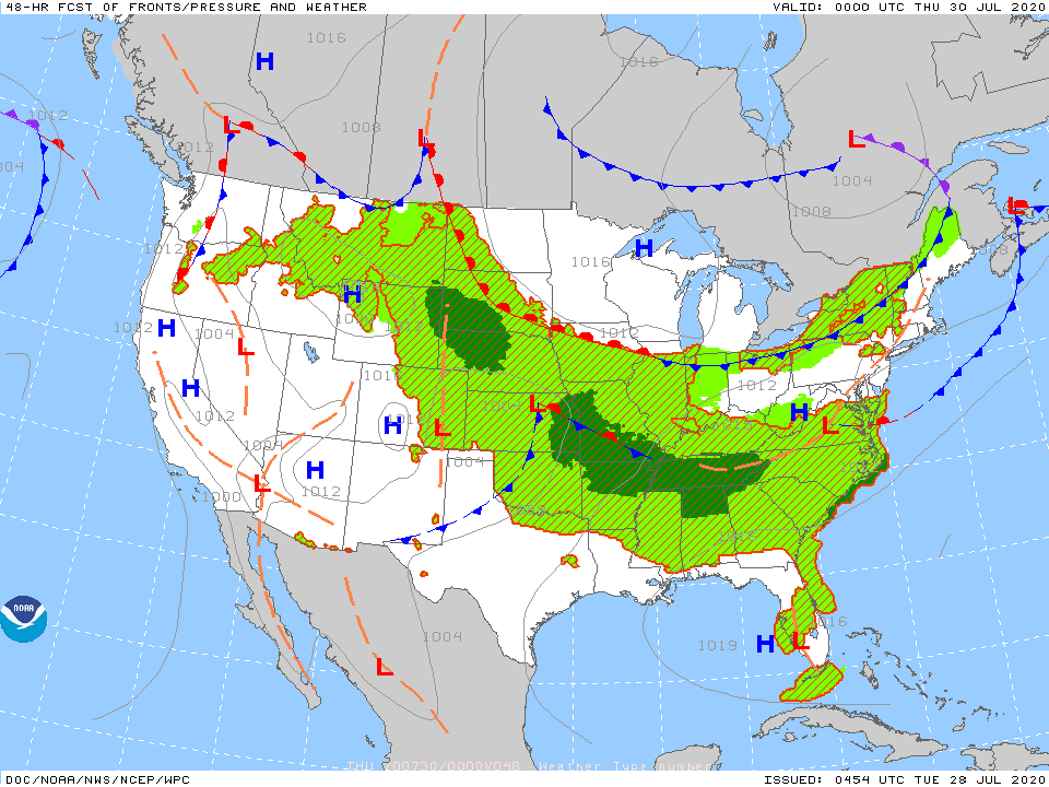
Below - snapshot weather for Wednesday. BE safe.

 RSS Feed
