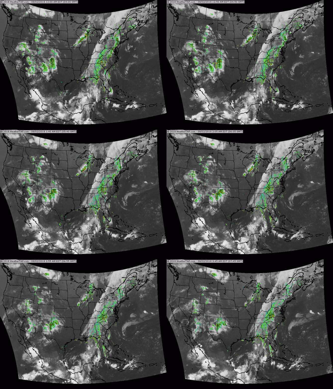
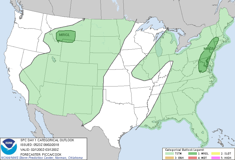
Above...tropical conveyor belt continues in the East...with time..more sun...hot temps by weekend and next week. scattered thunderstorms Rockies.....hot west and southwest. Below...today's risk of severe weather in dark green...especially for gusty winds in storms.
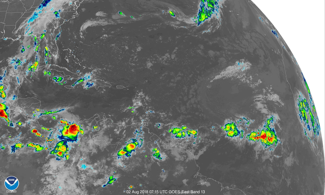
Below - satellite picture of the Atlantic Basin. A couple of tropical waves off Africa....may survive across the Atlantic but will keep the southern route due to cool waters in the Central Atlantic.
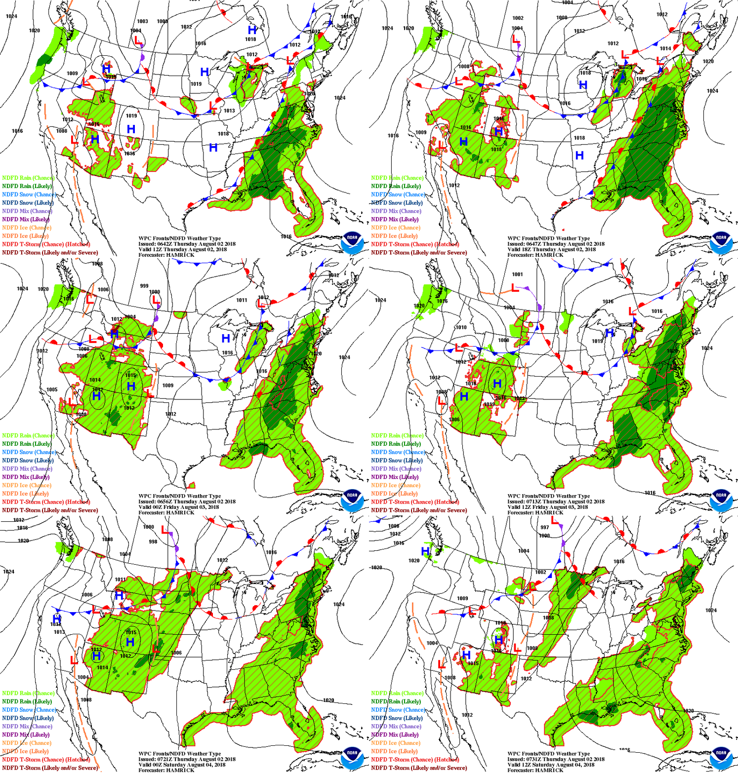
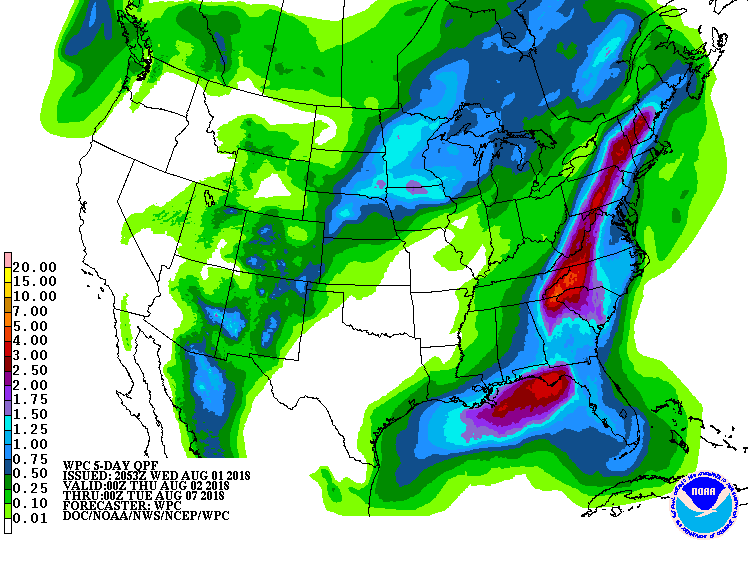
Animated maps below ...for next 2 days followed by amounts of rain fall for the next 7 days. Be safe.

 RSS Feed
