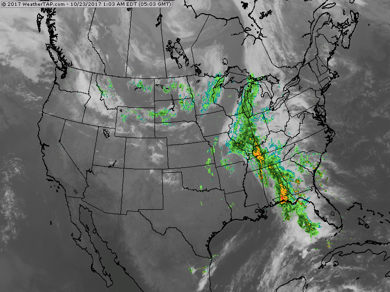
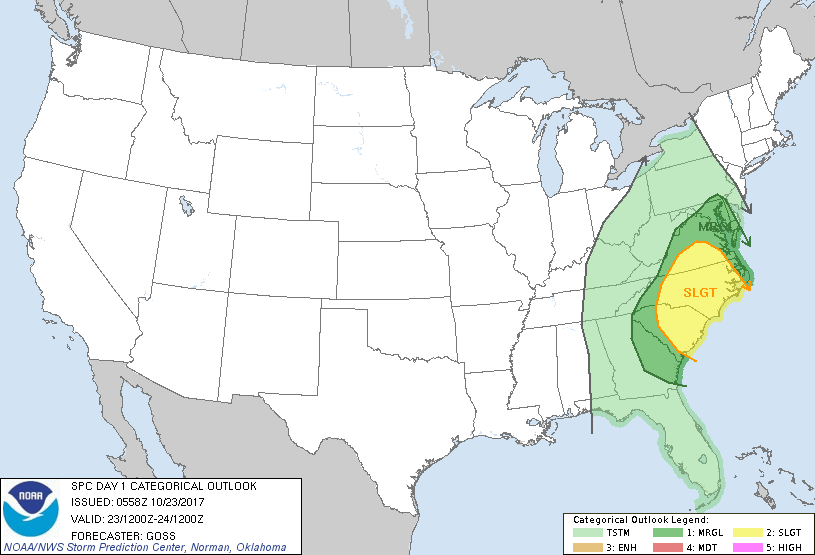
Satellite-radar shows strong cold front from Lakes to Florida. It will move east over the next two days and offshore. Showers in Dakotas bringing in chilly air there....hot out west. Below - outlook for severe weather today in dark green and yellow.
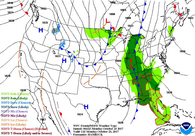
Below - animate maps for the next couple of days.
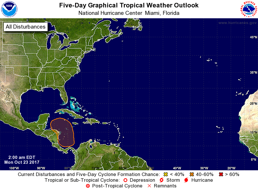
Tropics are quiet....but below - hurricane center watching one area. This area is still being projected by Canadian model to produce a significant cyclone by weekend.

 RSS Feed
