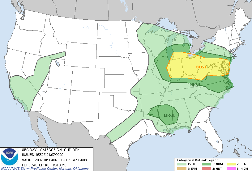
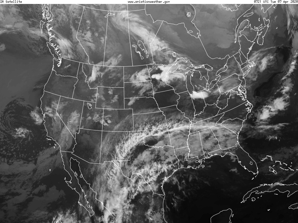
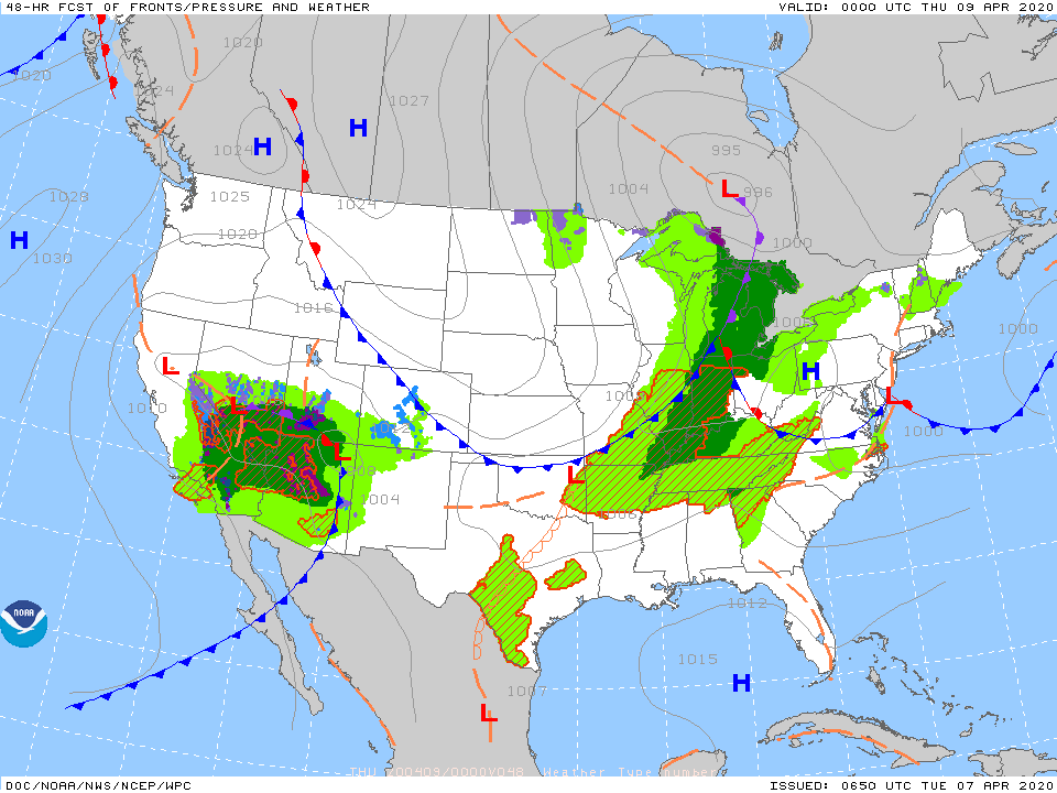
Above- severe weather possible into tonight in areas of dark green and yellow. Below - satellite picture showing next front over Lakes moving toward the Northeast and Mid Atlantic tonight and into Wednesday.
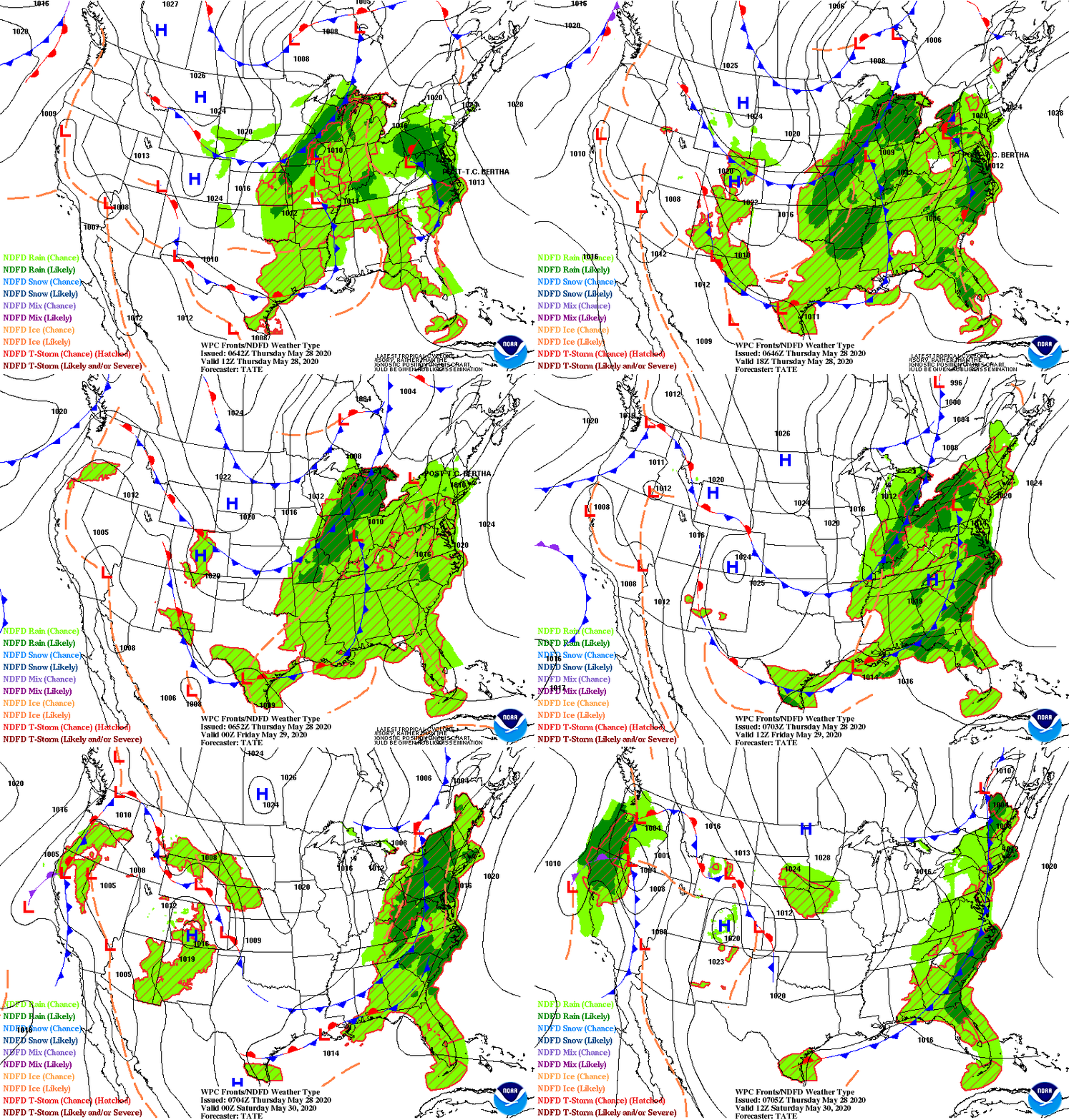
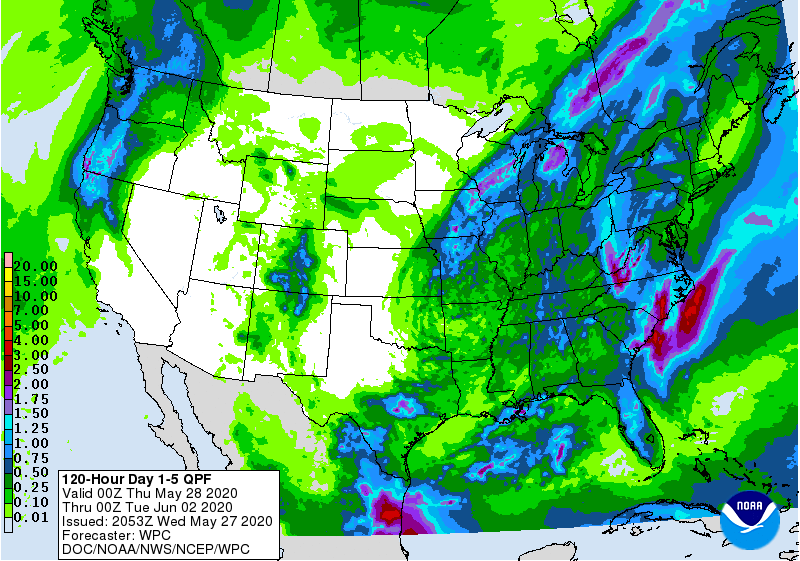
Below- animated maps showing storms moving west to east for next 2 days.....amount of rainfall through Saturday.
Below - snapshot weather for Wednesday. BE SAFE ....Stay in !!

 RSS Feed
