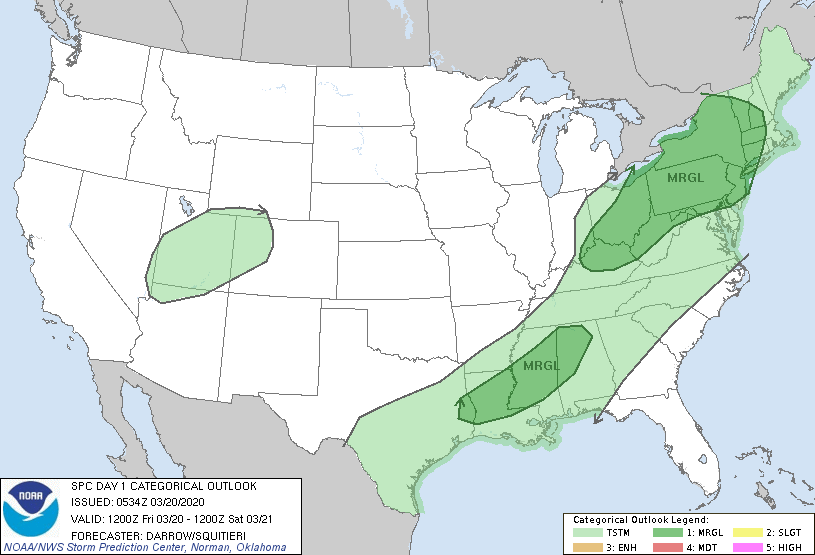
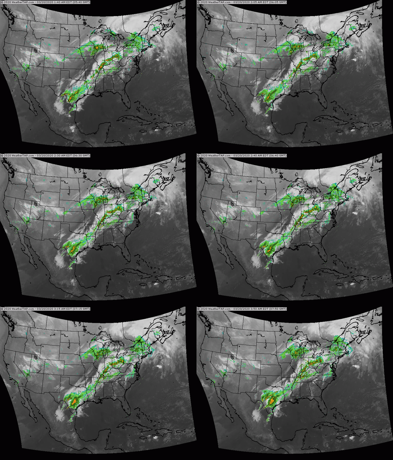
Above - dark green areas show where there is a marginal risk of some severe thunderstorms today....most of which in the Northeast. Below - satellite + radar showing showers and storms from The Northeast to Texas with the cold front that will bring noticeably colder weather this weekend.
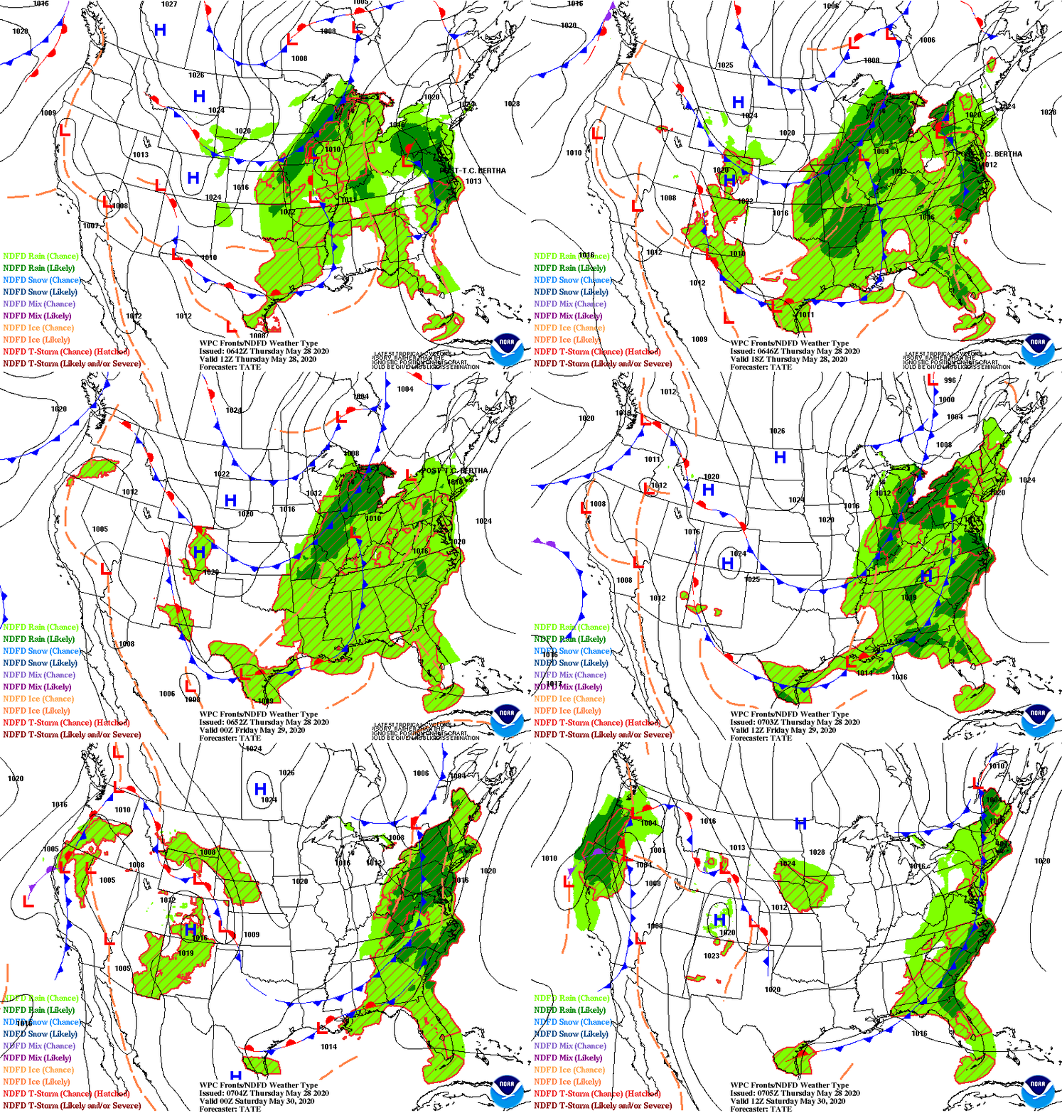
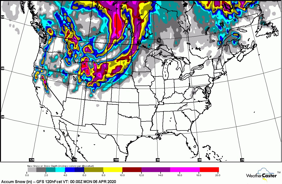
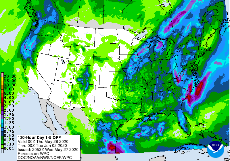
Below - animated maps through Saturday...then snowfall and rain projections through next Tuesday.
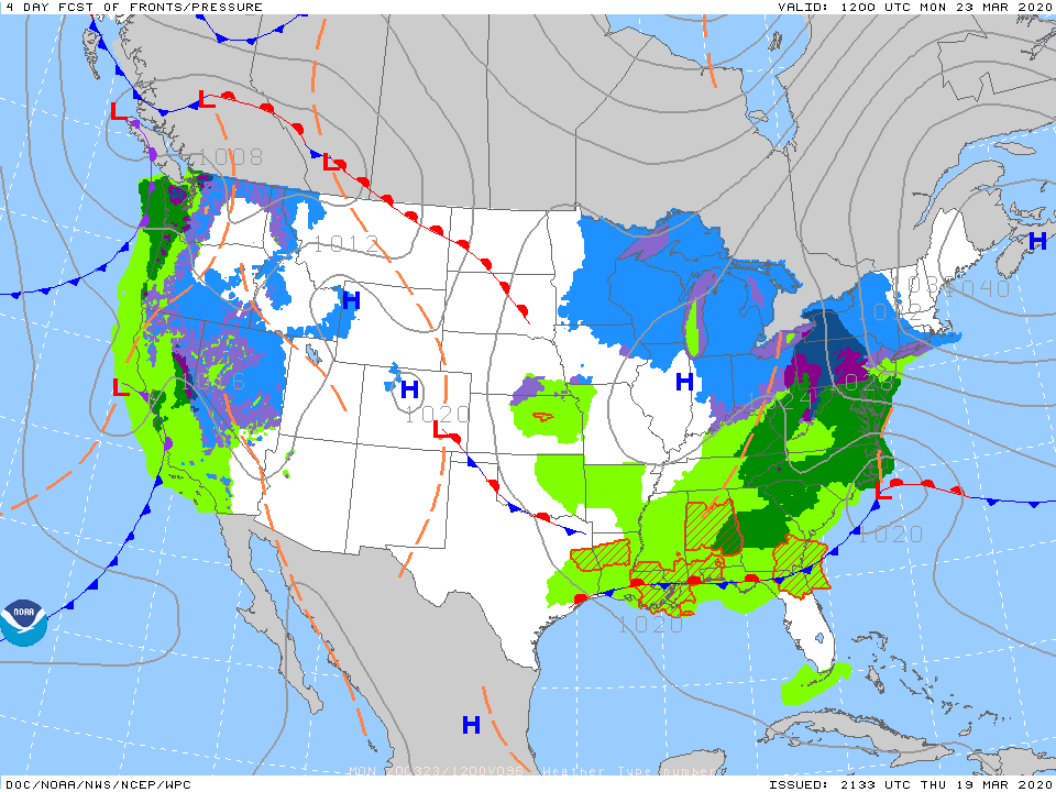
A storm off the Carolinas next Monday could bring wet snow to the Northeast. Looks like best chance would be across New England...but will have to be watched. Below- what we think weather map will look like for Monday.
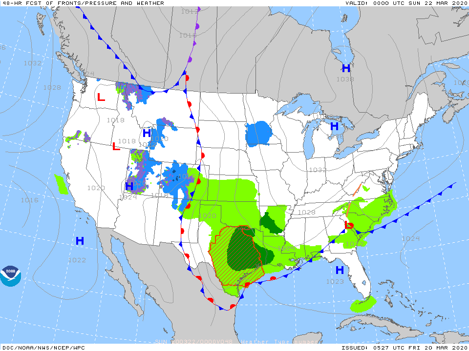
Lastly - snapshot weather for Saturday. Please remember to stay at home and do not mingle with others and be safe.

 RSS Feed
