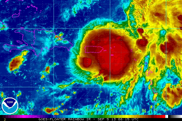
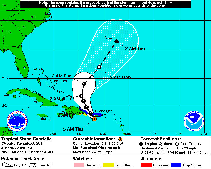
This is a closeup infra-red picture of Tropical Storm Gabrielle. You can see Puerto Rico within the dark red...(heavy rain). A small compact storm...moving north. Hurricane center does not expect it to grow all that much and it should turn northeast - passing to east of Bermuda.The track is below.
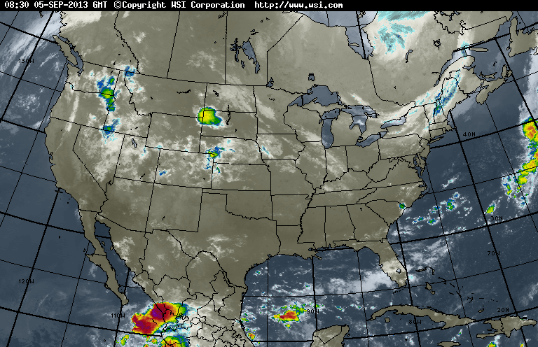
The band of clouds in the Northeast indicates another cold front...which will only re-enforce the dry air there. Another such front will affect the
Northeast on Sunday with clouds..and nothing more than a brief shower. Storms in Northern Plains will head east slowly otherwise...a quiet time.
Northeast on Sunday with clouds..and nothing more than a brief shower. Storms in Northern Plains will head east slowly otherwise...a quiet time.
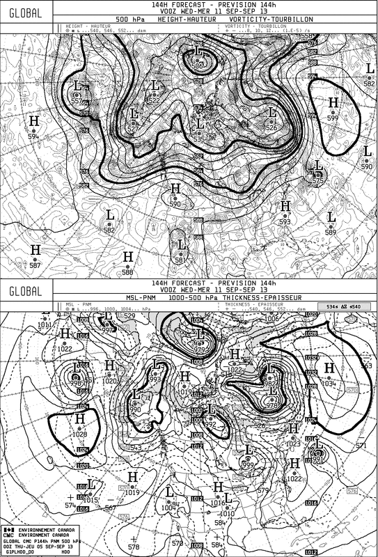
This is valid for next Tuesday. You can see Gabrielle well southeast of New Foundland. Another front over the Great Lakes...and the quiet regime continues. Next Monday....a look at our long range outlook for this Fall....2013. Later.

 RSS Feed
