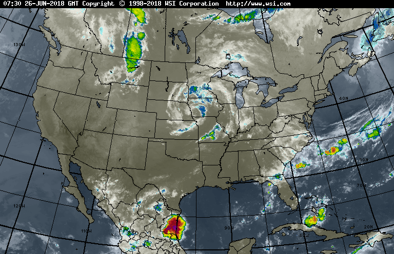
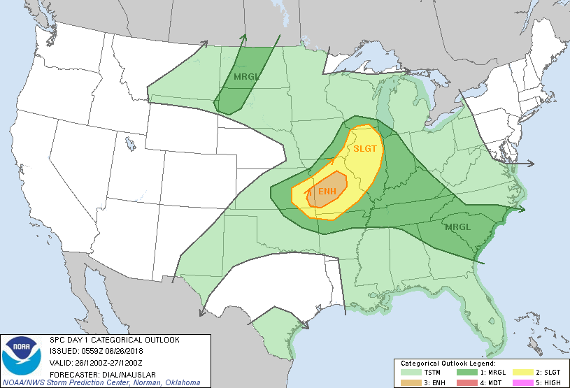
Storm in Midwest heads to Great Lakes and brings wet weather to the East Thursday. Following that storm...heat from Central Plains expands East to cover much of the Eastern half of The Nation for late week and the weekend as temps head into 90s...and high humidity. Some spots across New England will approach century mark on Sunday. Below - current severe outlook for today - dark green - yellow- and tan - best chances.
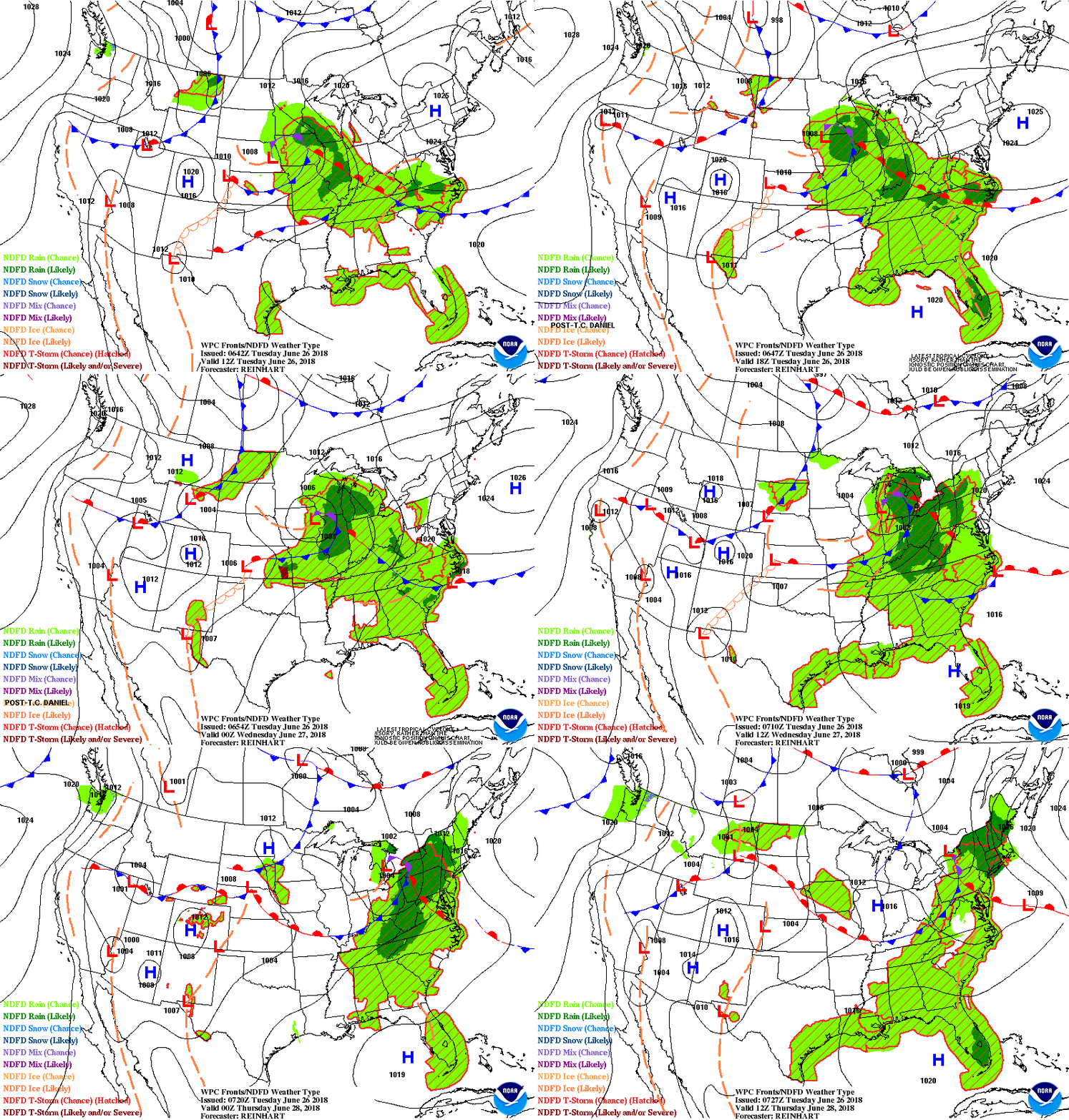
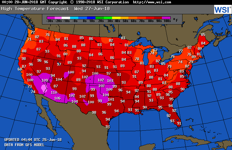
Below - animated maps for the next 2 days....followed by high temperatures for Wednesday.
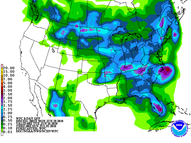
Below - rainfall over the next 5 days.
Once heatwave builds into the East late this week...it is likely to continue into the 4th of July....so enjoy any cool weather you get now. Be safe.

 RSS Feed
