
Satellite shows winter storm moving off East coast. Next clipper low over Northern Plains will hit the Gt. Lks and Northeast next 2 days with a few more inches of snow...followed by arctic air.
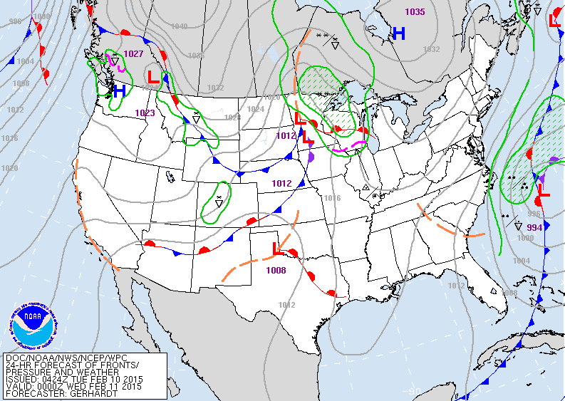
Map above for this evening. Clipper in Minnesota brings snow to Gt. Lks Wednesday...then to Northeast Thursday.
Arctic air follows. Warming up out west as So. California head into the 80s.
Arctic air follows. Warming up out west as So. California head into the 80s.
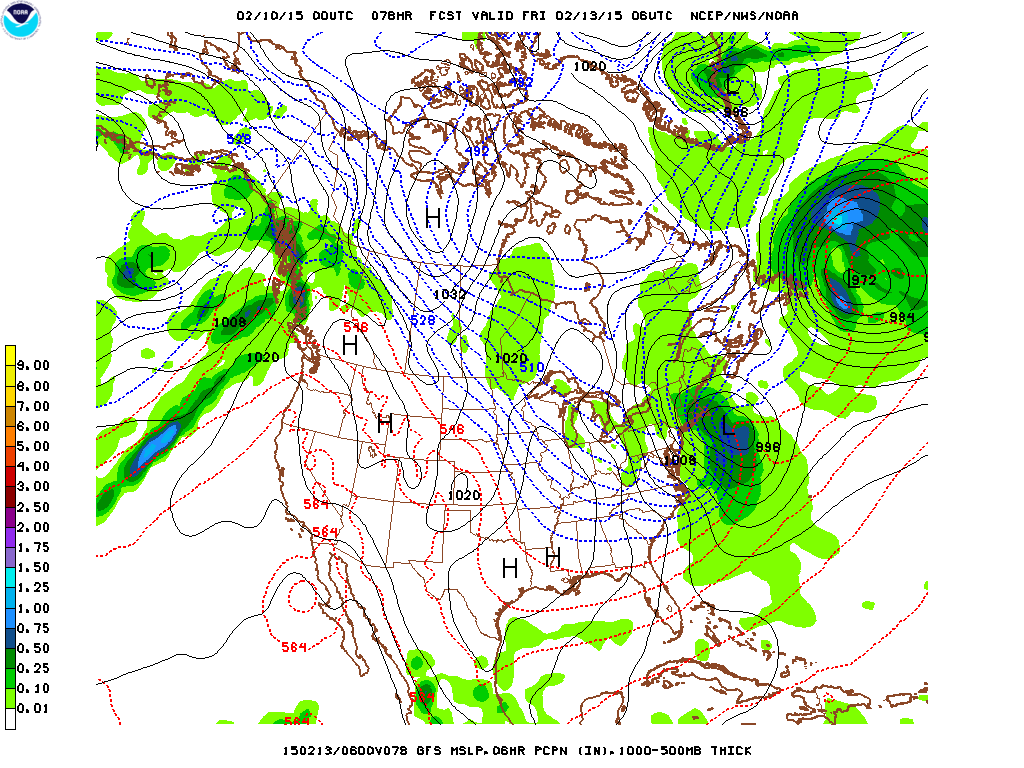
GFS model above for Thursday nite. Most vigorous with clipper resulting in 4" + snow for Eastern Long ISland and
SE New England.
SE New England.
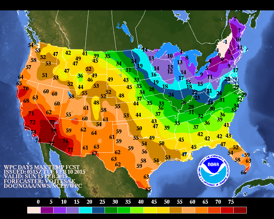
Map above shows high temperatures for this Sunday.
Should be the coldest day for NE.....warmest day for
SW so far this season.
Should be the coldest day for NE.....warmest day for
SW so far this season.

Map above shows how daytime temperatures will average thru Feb. 18th. Need I say that the blue is below....etc.
Be safe....later.
Be safe....later.

 RSS Feed
