The threat for rainfall was small to begin with for the Northeast and radar signatures been showing blanks across the area. High Pressure centered just south of Long Island is moving closer to land and clouds will continue to decrease into Monday.
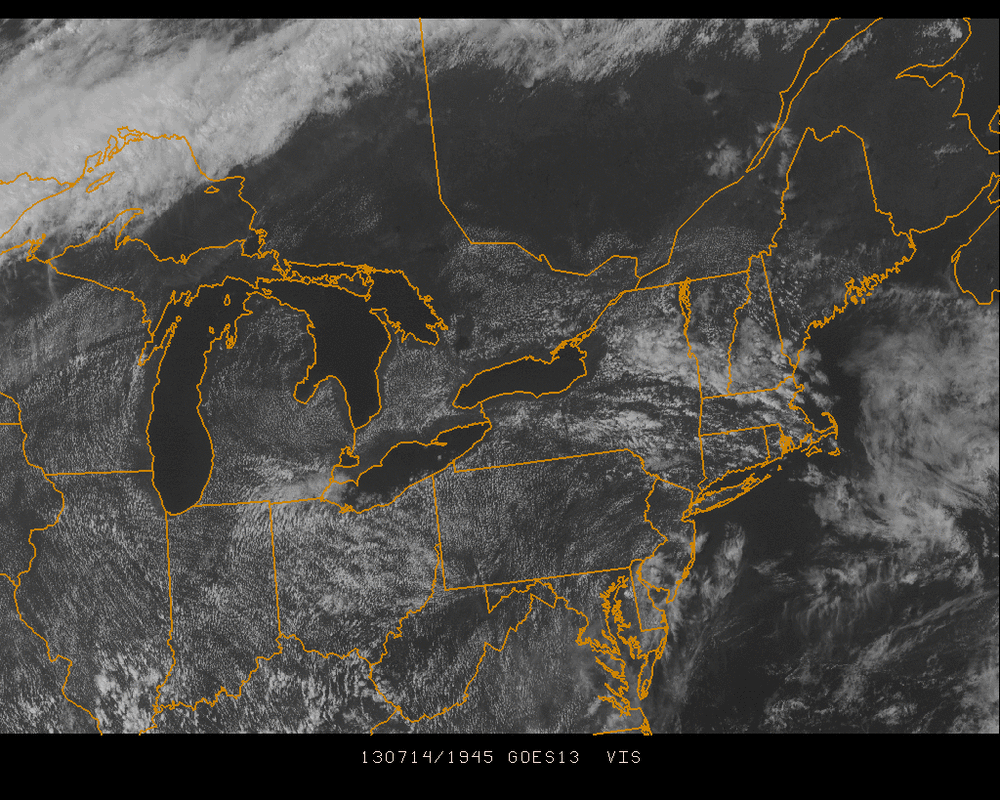
Clouds will be quite scarce moving forward but the temperatures and humidity will remain at rather uncomfortable levels. Heat Indices will reach 100+ in most areas but with a trough passing well north of the NY area on Monday, there is still the chance for an isolated shower to provide a quick cooldown

 RSS Feed
