For now...more humidity than heat for the Nation. Wet conditions will fall over the Eastern third of the Nation into Wednesday. Many places will get over 1" of much needed rain following the long heatwave. Here is a look at this a.m.'s weather radar....the precip in the Ohio Valley will expand as it moves east.
Here is how we think the above will translate on the ground to fallen raindrops within the next 24 hours.
The map below is a depiction of what radar could look like late Tuesday.
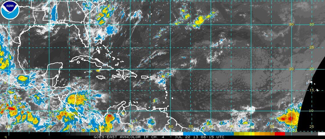
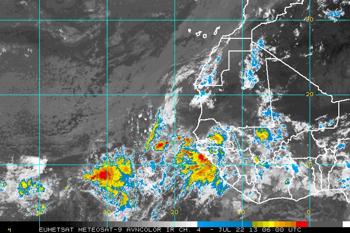
Over to the tropics.....quiet now. First satellite view of the Atlantic shows not much to worry about.......look at right end of picture.....that's coming off Africa. Our second picture shows you a better view off The African coast....indicating the ITCZ getting a bit more active. Over this past weekend...one of our models was picking up on this and trying to bring a tropical system up the East Coast in early August....but since has backed off.
Below...The UK Met Model showing the pattern for this coming weekend...which would indicate alot cooler for the East....but that could come at a price...of at least 1/2 weekend on wet side. More on that later this week. Later.

 RSS Feed
