Metro Weather Inc. Services
Like us, follow us, link to us, contact us!
  • Home
    • Daily Weather Discussion
  • Weather Prepared for You
    • Film and TV Production
    • Radio & Television
    • Government and Industry
    • Forensic Services >
      • Weather Record Request Form
    • Metro Morning Monitor
  • About Metro Weather
    • Senior Staff
  • Your Weather Images
  • Contact Us

Heat Eases in the East.....

7/21/2015

0 Comments

 
Picture
Satellite/radar shows a front moving into east and behind it...dry cooler air from Plains to Great Lakes. Elsewhere...no changes.
Picture
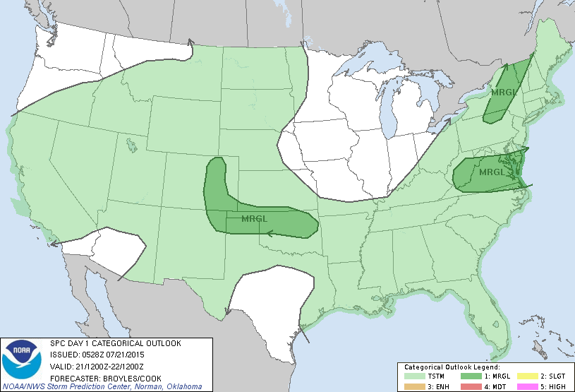
Today's risk of severe weather is just marginal is dark green areas.
Picture
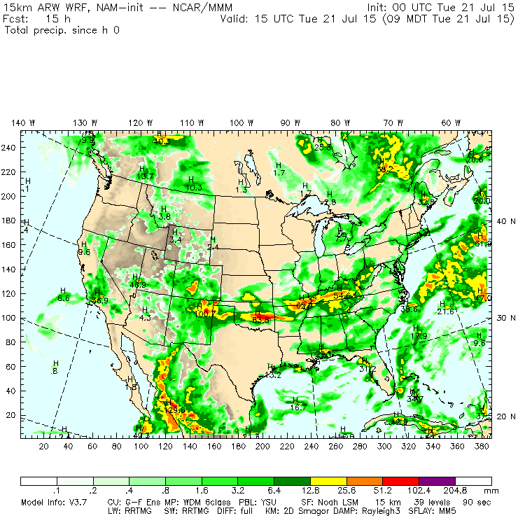
Above...areas that may see some showers or thunderstorms today. Yellow and orange indicate best areas.
Picture
This shows the best areas for thunderstorms.
Picture
Satellite picture with lightning detection overlayed.
Picture
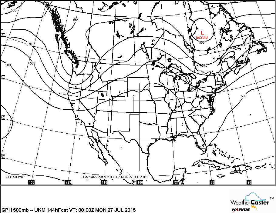
Upper air pattern for weekend showing a trof out west and in the East with a ridge in center nation. Under that ridge..the hottest weather expected...while under the trofs...cooler.   Be safe. 
0 Comments


Leave a Reply.

    Genesis of a Tornado
    We'll have daily weather discussions, talking about major systems on the horizon along with anything noteworthy that pops up on our radar.

    Pat Pagano,
    Mike Merin

    Follow us on Twitter and like us on Facebook to get updates whenever we post a new entry!

    RSS Feed

Powered by Create your own unique website with customizable templates.