Metro Weather Inc. Services
Like us, follow us, link to us, contact us!
  • Home
    • Daily Weather Discussion
  • Weather Prepared for You
    • Film and TV Production
    • Radio & Television
    • Government and Industry
    • Forensic Services >
      • Weather Record Request Form
    • Metro Morning Monitor
  • About Metro Weather
    • Senior Staff
  • Your Weather Images
  • Contact Us

Heat Breaks Briefly - Northeast

8/30/2018

0 Comments

 
Picture
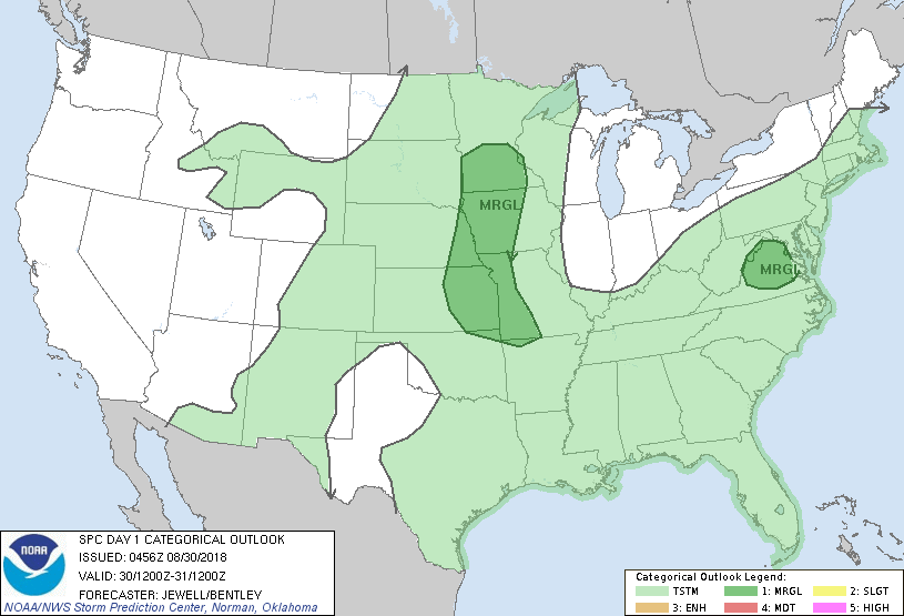
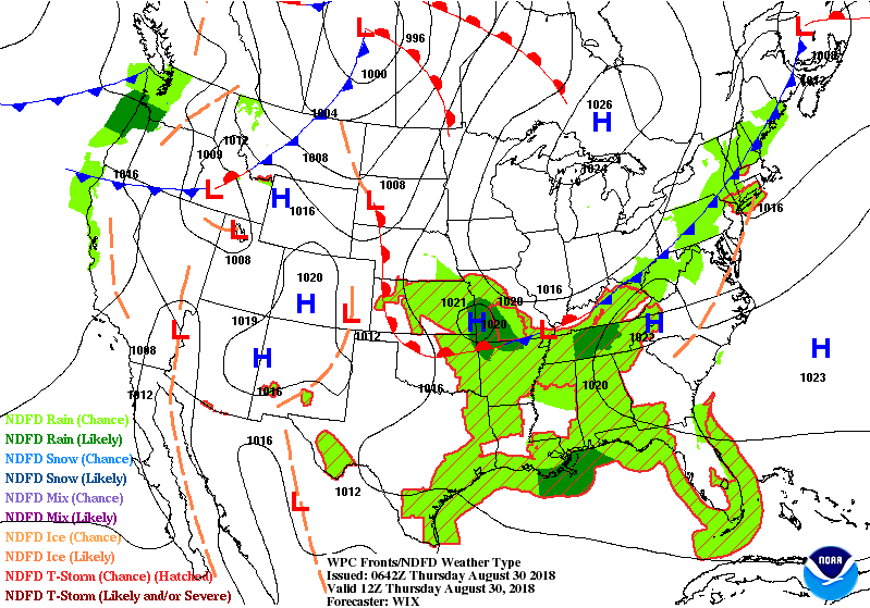
Satellite/radar shows front crossing Northeast with some showers today and tonight into Friday....as it turns much cooler. Elsewhere...little if any changes. The 3 h's will return to Northeast this weekend. Below- today's chances of severe weather in dark green.
Picture
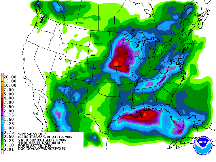
Below- animated maps for the next couple followed by rainfall for the next 5-7 days. 
Picture
Picture
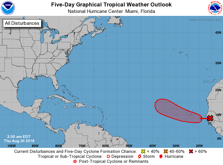
Below- satellite picture and map showing the disturbance moving off Africa which the hurricane center gives a 60% chance of forming into a tropical system. 
Picture
Picture
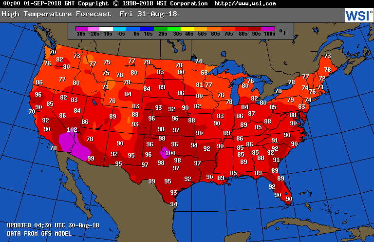
​Lastly - temperature for Friday.....90s in Northeast turn to 70s. Be safe.
Picture
0 Comments


Leave a Reply.

    Genesis of a Tornado
    We'll have daily weather discussions, talking about major systems on the horizon along with anything noteworthy that pops up on our radar.

    Pat Pagano,
    Mike Merin

    Follow us on Twitter and like us on Facebook to get updates whenever we post a new entry!

    RSS Feed

Powered by Create your own unique website with customizable templates.