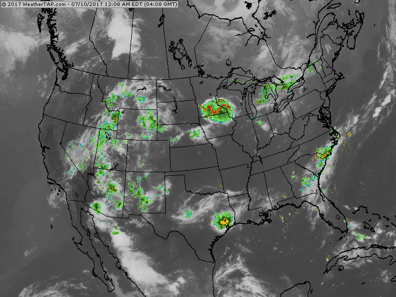
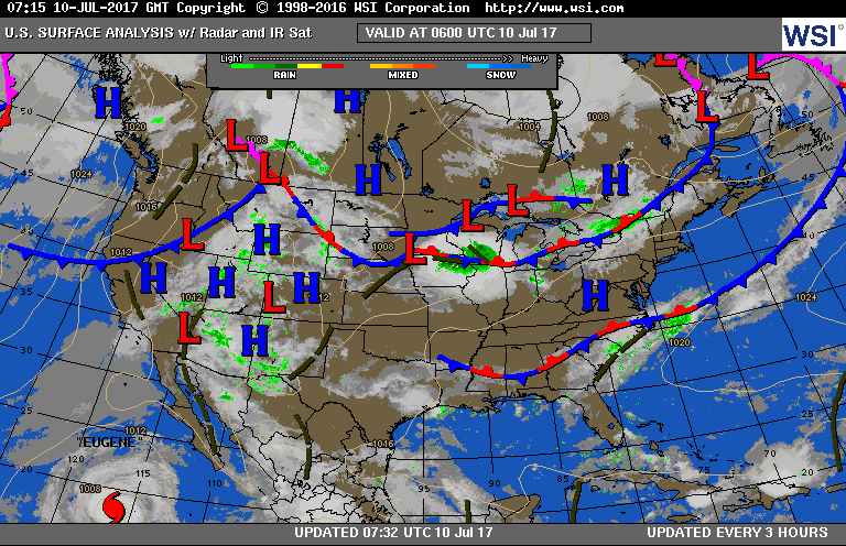
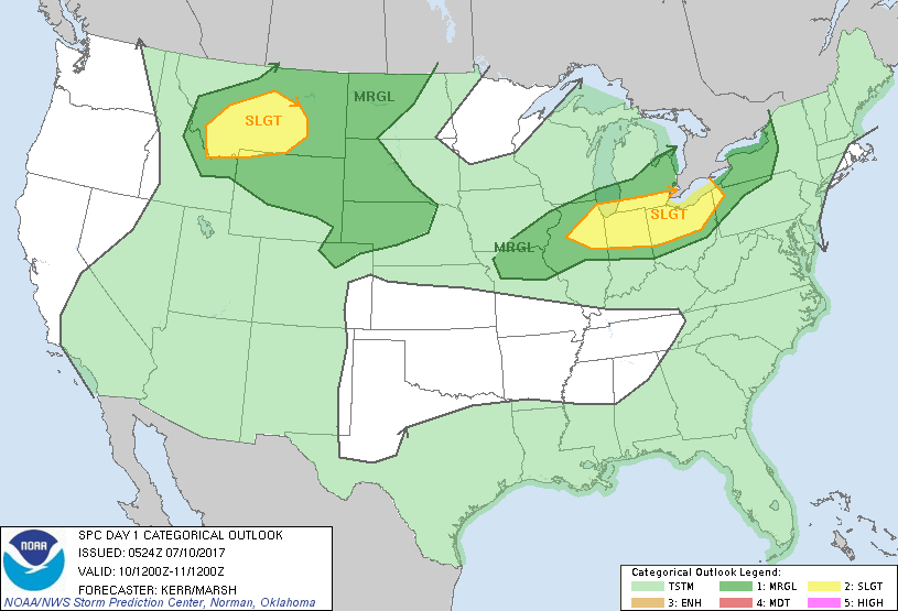
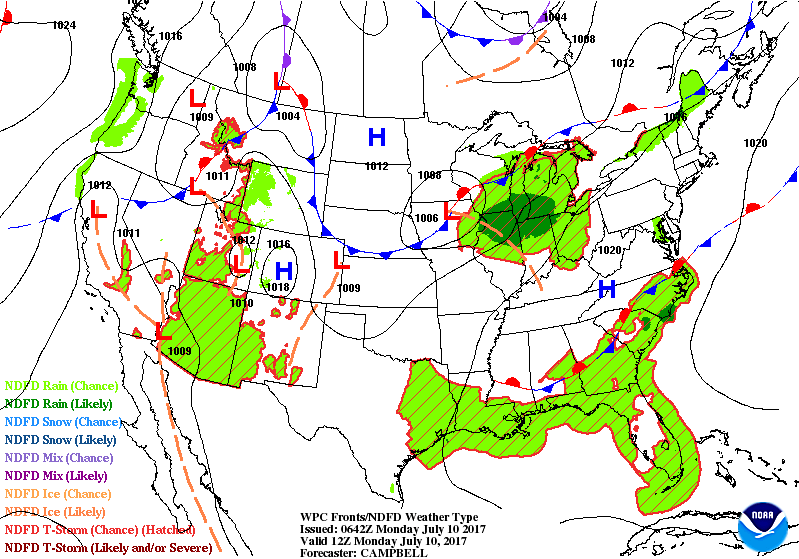
Satellite- radar shows storms to continue over SOutheast.....Midwest & Ohio Valley..and Rockies. Below...today's weather map showing weather systems associated with these storms followed by map showing potential for severe weather today in dark green - yellow - brown.
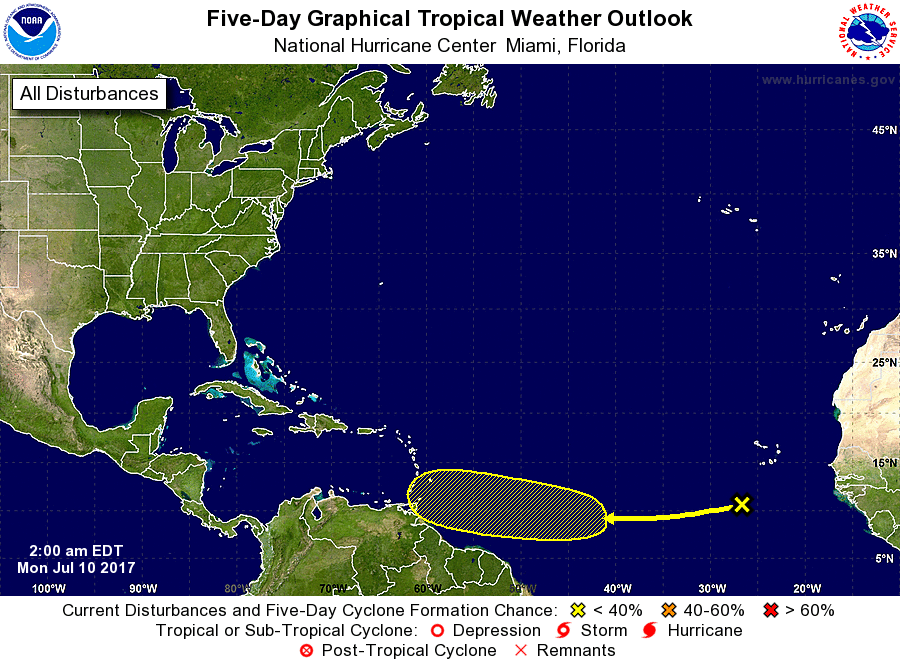
Current tropical outlook for Atlantic. GFS Model takes this system and makes it a hurricane and aims it for Florida. It did that with last system which never made it to "Don". Below...Pacific Hurricane Eugene with 105 mph winds expected to weaken.
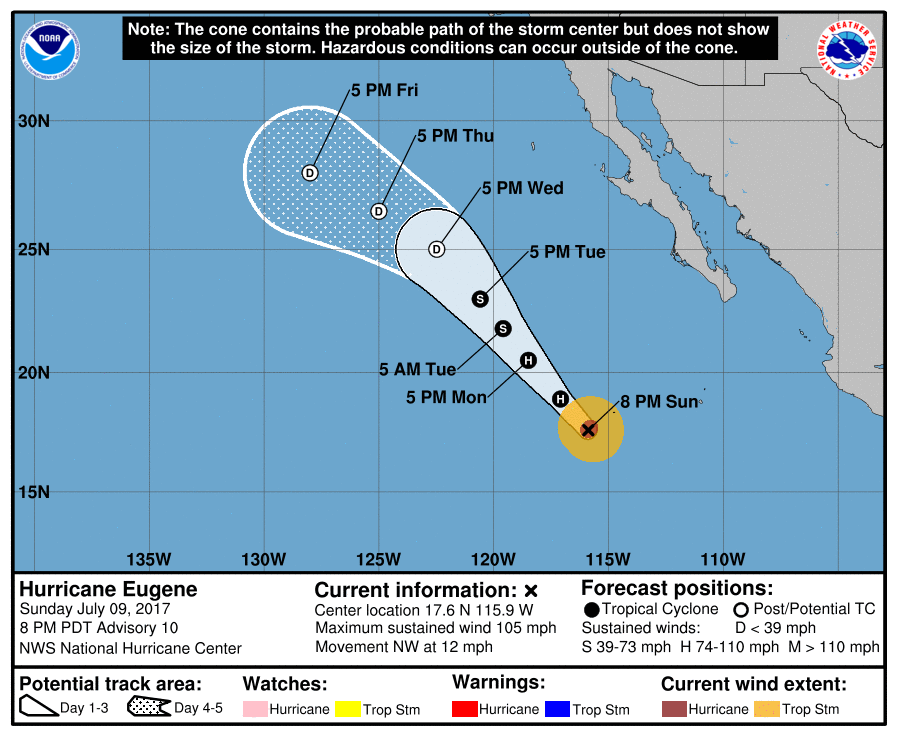
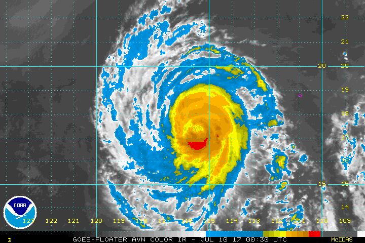
Above - satellite of Eugene....still healthy but as it moves over cooler waters it should weaken. Below...animated maps for the next couple of days. Be safe.

 RSS Feed
