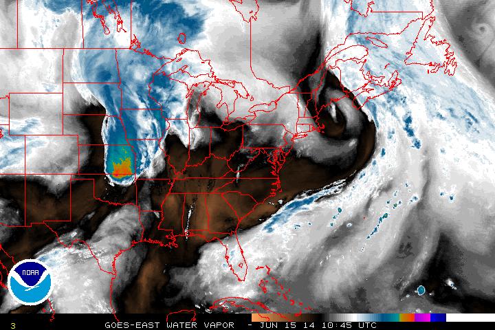
On this Father's Day most regions are waking up to sunshine. The exception this morning is for the Midwest and southern plains where a low pressure system is dumping copious amounts of rain. The morning water vapor image below shows just how much moisture there is in the air. The blackened areas represent the parts where the air is barren of moisture.
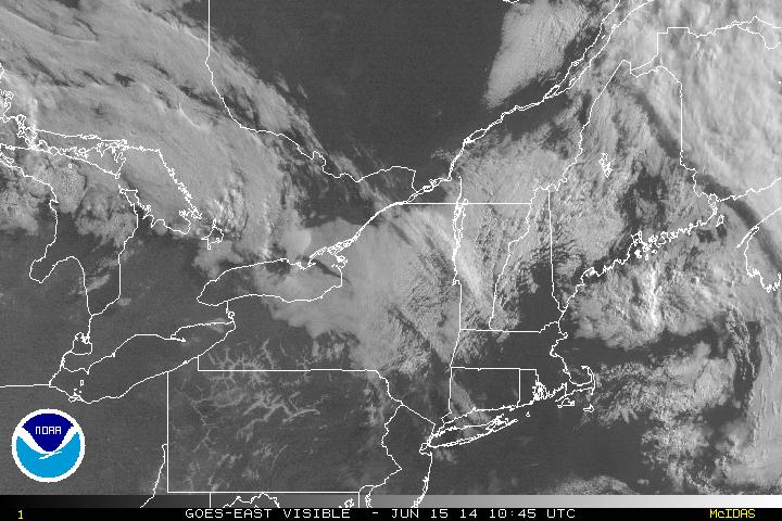
But even the Northeast is still seeing sunny skies generally as the visible imagery shows below. A ridge is moving into place that will clear the skies into today and tomorrow.
Taking a look at the radar this morning for the Midwest...
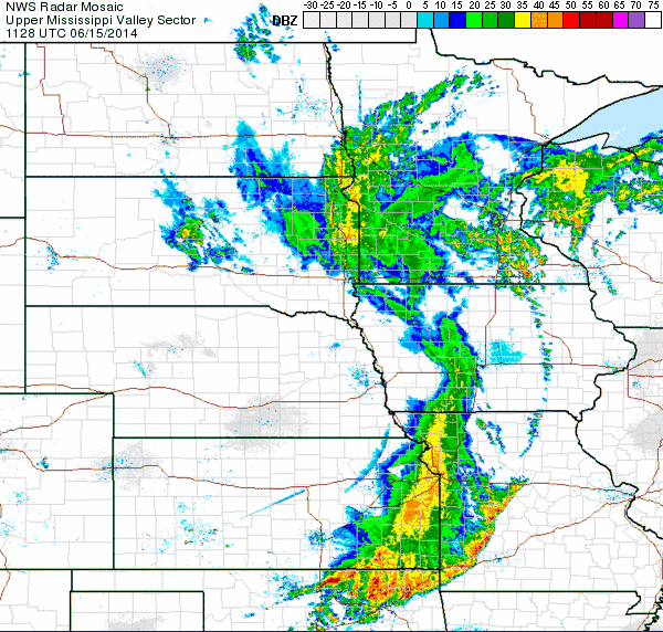
Thunderstorms associated with this frontal system could bring heavy gusts and isolated hail events, but the severe threat is not large at this time... As this tries to move east, the strong ridge along the Appalachian Mountains will limit this system's progress and eventually weaken it as it moves towards the east coast by Tuesday & Wednesday this week, dropping the threat down to scattered rain showers and thunderstorms for the metropolis areas of Washington DC, NYC and areas further northeast.
Enjoy your Father's Day and have a great week!
- JL
Enjoy your Father's Day and have a great week!
- JL

 RSS Feed
