Metro Weather Inc. Services
Like us, follow us, link to us, contact us!
  • Home
    • Daily Weather Discussion
  • Weather Prepared for You
    • Film and TV Production
    • Radio & Television
    • Government and Industry
    • Forensic Services >
      • Weather Record Request Form
    • Metro Morning Monitor
  • About Metro Weather
    • Senior Staff
  • Your Weather Images
  • Contact Us

Good Bye January !

1/29/2016

0 Comments

 
Picture
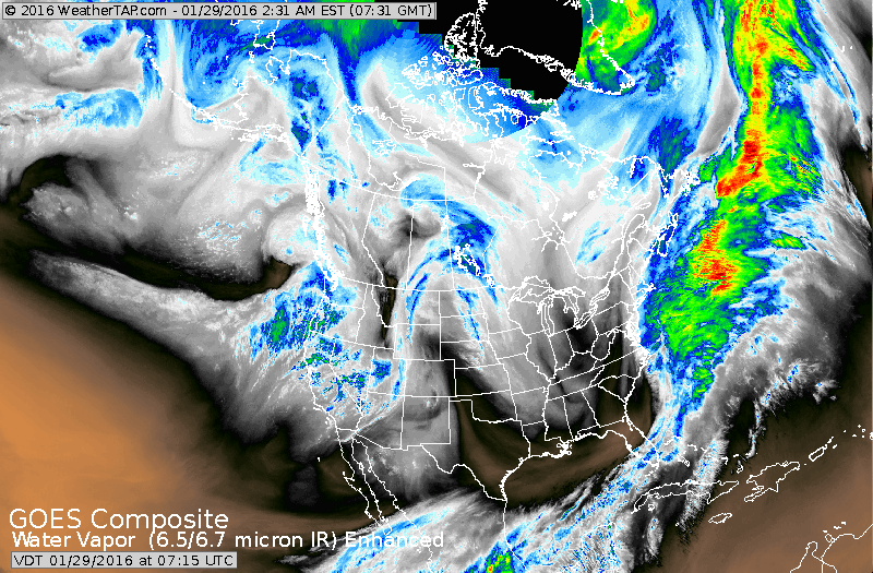
Satellite shows a storm just off east coast which will fringe Cape Cod. Storm moving into west coast will be the next big storm for Tuesday and Wednesday of next week.
Picture
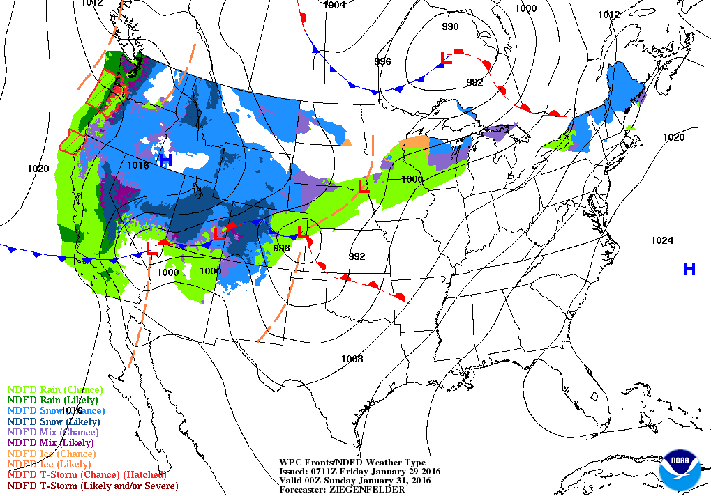
Map above valid for Saturday evening. Storms in West will consolidate and move toward Great Lakes Tuesday and Wednesday. It will affect the Primary in Midwest...may produce severe weather in south and heavy snow to the North and West of it's track.
Picture
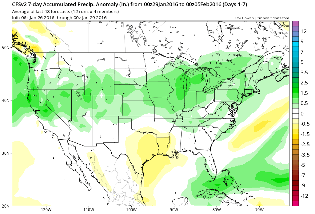
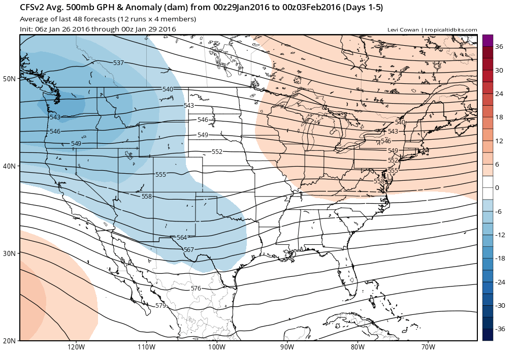
Map above shows 7 day precipitation amounts while map below shows the average upper air flow for next week. That flow is just about zonal which means close to seasonable temps for most.
Have a nice weekend...be safe...see you next month.

Picture
0 Comments


Leave a Reply.

    Genesis of a Tornado
    We'll have daily weather discussions, talking about major systems on the horizon along with anything noteworthy that pops up on our radar.

    Pat Pagano,
    Mike Merin

    Follow us on Twitter and like us on Facebook to get updates whenever we post a new entry!

    RSS Feed

Powered by Create your own unique website with customizable templates.