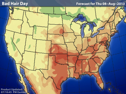
Very warm and humid weather moves back across the East...only to be accompanied by showers and thunderstorms into Friday evening. Humidity comes down this weekend....and it cools off by Sunday...but from Mid Atlantic south...sticky and unsettled. So how many of us will have a bad-hair day ? Map below...courtesy of WSI will let you know.
National satellite shows same areas getting the heavy rain...mid section of Country. Satellite from the Atlantic continues amazingly quiet.


Canadian model for next Wednesday shows the same pattern which has prevailed for much of the summer...with the exception of the big July Heatwave. Trof in East....Ridge in West. Be safe - Later.


 RSS Feed
