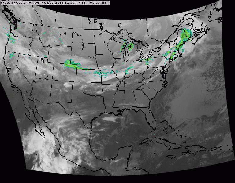
Satellite - radar shows the next front moving south and east and will bring rain changing to some wet snow to Northeast and Mid Atlantic.
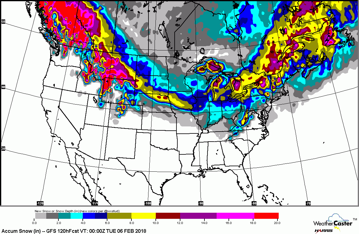
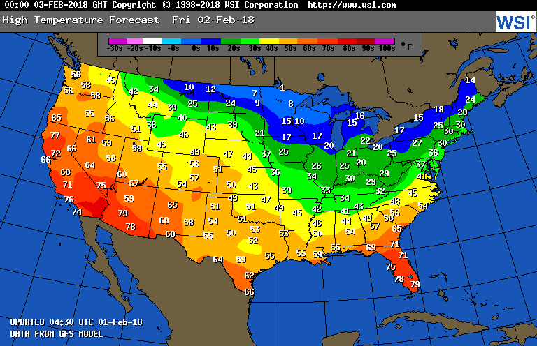
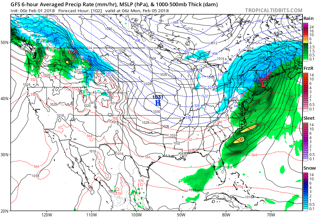
Moisture from Pacific turns into Gulf and that will fuel the next storm for Sunday into Monday....bringing snow from Midwest to Northeast and Appalachians...with rain south. Below - snow forecast into Monday....followed by high temperatures for Friday.
Moisture from Pacific turns into Gulf and that will fuel the next storm for Sunday into Monday....bringing snow from Midwest to Northeast and Appalachians...with rain south. Below - snow forecast into Monday....followed by high temperatures for Friday.
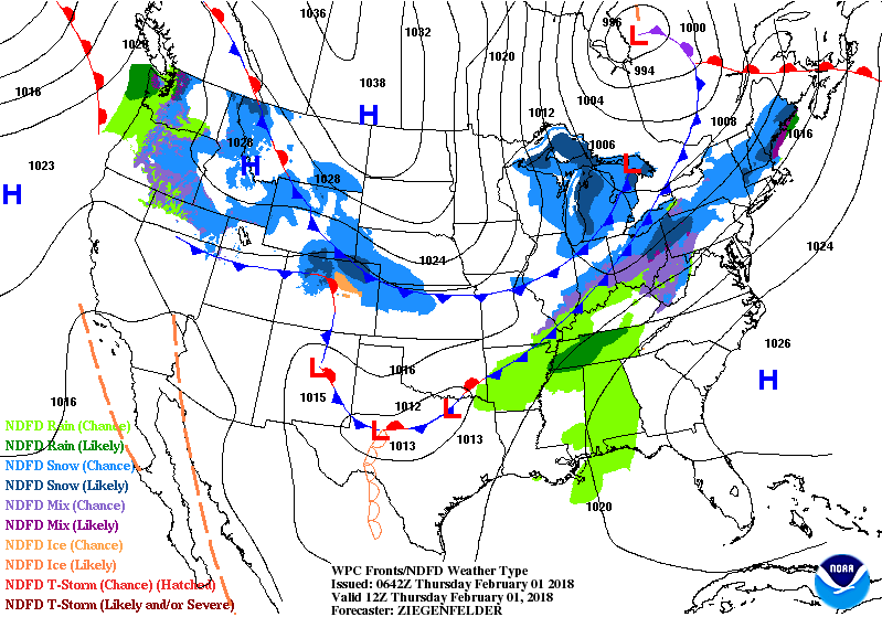
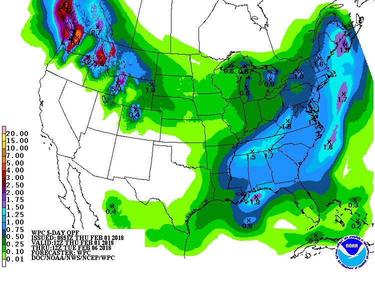
Below - animated maps for the next 2 days followed by amounts of rain for the next 5 days.
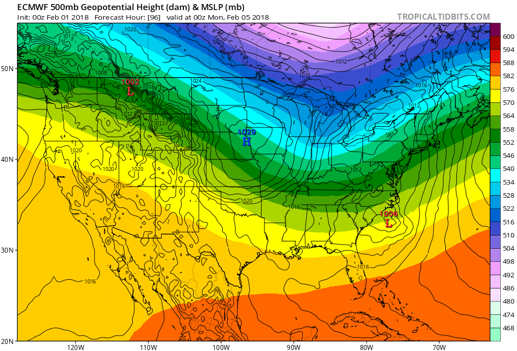
Below - 3 computer models with their take on The SuperBowl Storm. All of them agree that the I95 Corridor will be spared any heavy snow. While that may sound assuring...it's not carved in stone as far as I am concerned and alot could go wrong so stay tuned. Be safe.


 RSS Feed
