
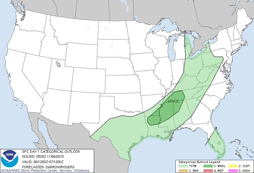
Satellite/radar overlay shows cold front from Great Lakes to Texas. All spreading east quickly and will move just off east coast this weekend but stall in southeast where wet cool weather will continue. Below....threat of severe weather today and tonight in dark green.
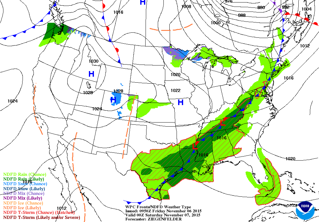
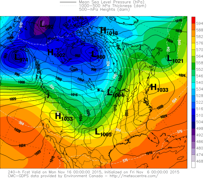
Map above is for this evening. Cold front reaches The Northeast. Most of the wet weather south. Some snowshowers in upper Midwest....otherwise quiet for much. Below is a 10 day outlook from The Canadian Model. Notice the dark colors
across Canada ? That signifies cold air...and in time will
be sinking into the U.S.
across Canada ? That signifies cold air...and in time will
be sinking into the U.S.
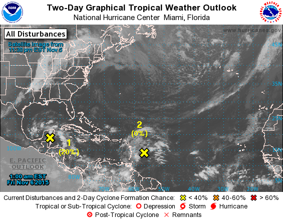
Hurricane center watching 2 areas...above. At this time of year any of these disturbances can pop quickly....so we will monitor any progress. Stay safe.

 RSS Feed
