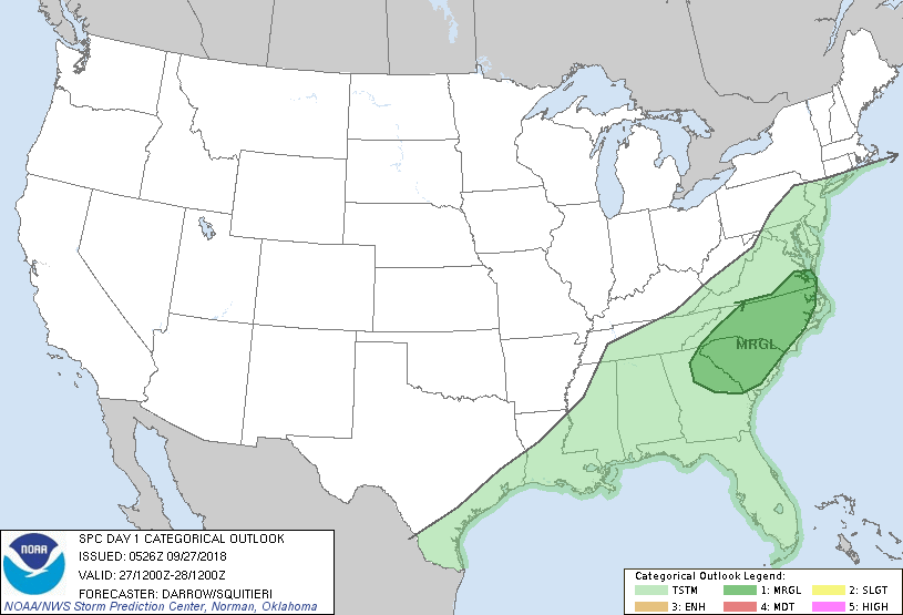
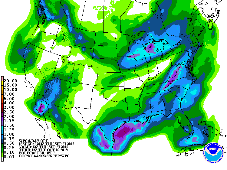
Satellite/radar above shows stalled front from Texas to Mid Atlantic. It will mean more unsettled weather for that area into friday. very cool air into the Northern Plains and there it will stay. Below- today's risk of severe weather in green - followed by rainfall over next 7 days.
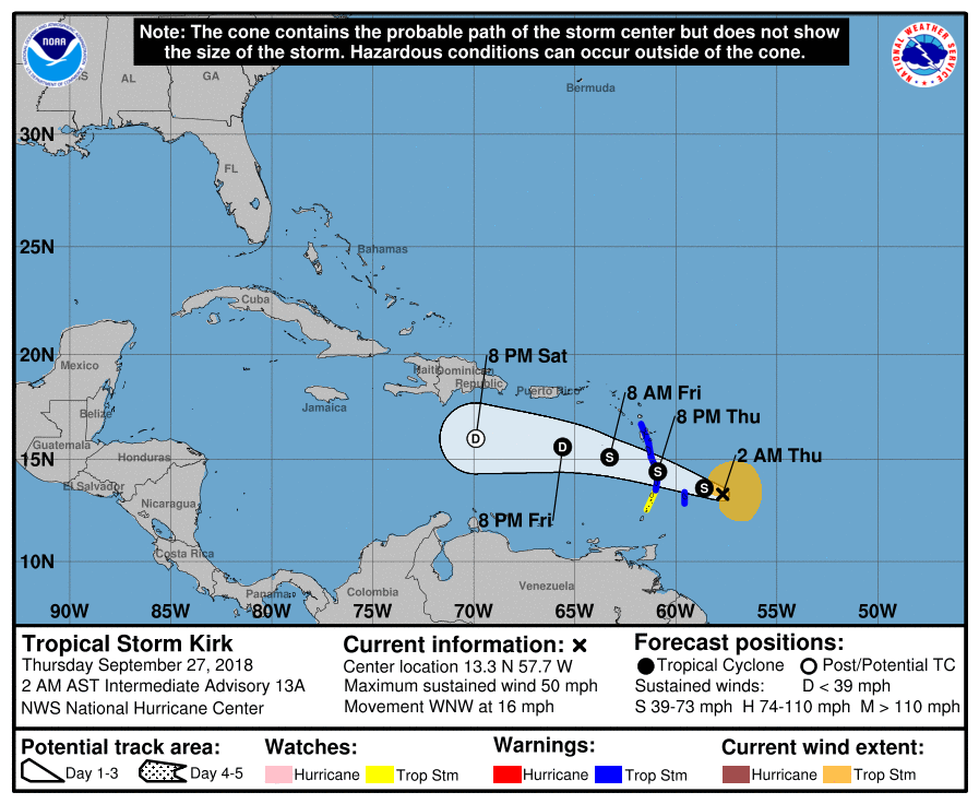
Below - animated maps - then track of Kirk.
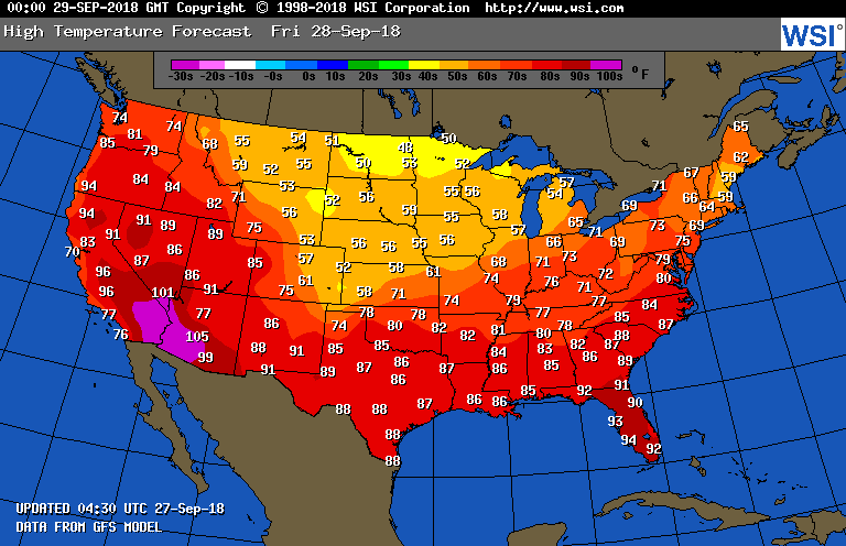
Lastly - high temperatures for Friday....more like fall. Be safe.


 RSS Feed
