Satellite/radar overlay shows a front moving off the east coast but stalling along the Gulf Coast with storms. Monsoonal moisture continues in the southwest,
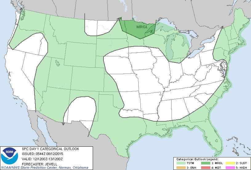
Today's severe weather threat is only marginal...dark green for Northern Minnesota.
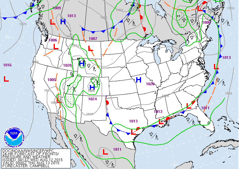
High pressure rules the nation. Some storms Gulf Coast and Rockies.
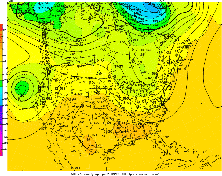
This is the upper air at 18,000 ft. The "U" shaped configuration in the east is a trof...it is bringing dry- warm weather there. A ridge is noted over Texas and Rockies...bringing very warm to hot weather there.
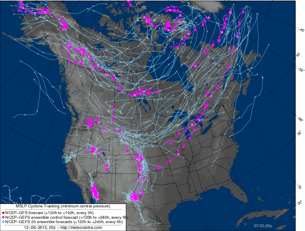
This map shows the track of surface lows by computer models ...referred to as "the ensembles". Most models produce these ensembles which all go into the mix of forecasting and sometimes can add to confusion.
Be safe...and try to catch the meteor showers tonight. Check the internet for local details.
Be safe...and try to catch the meteor showers tonight. Check the internet for local details.


 RSS Feed
