Satellite - radar shows a front moving across the East Coast. It will stall in the south. Another front in Rockies will head east to affect the East by Monday.
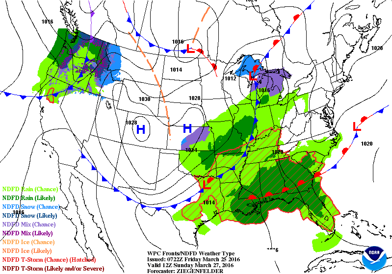
Map above is for Easter Sunday. Wet weather over the Gulf States...Ohio Valley and Midwest. Rain and snowshowers for the Great Lakes. More rain and snow in the Northwest.
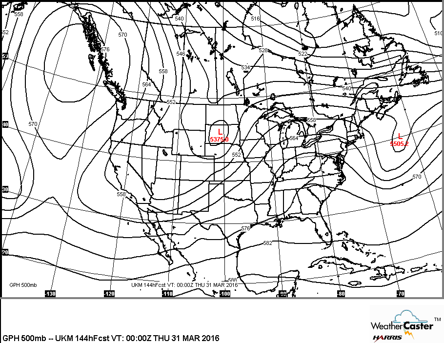
Above....current upper air map showing jet stream over the Midwest. Below ...upper air map projected for end of March.
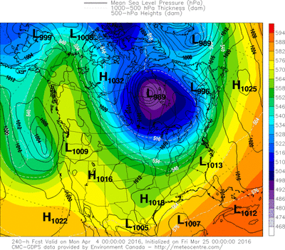
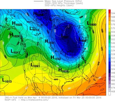
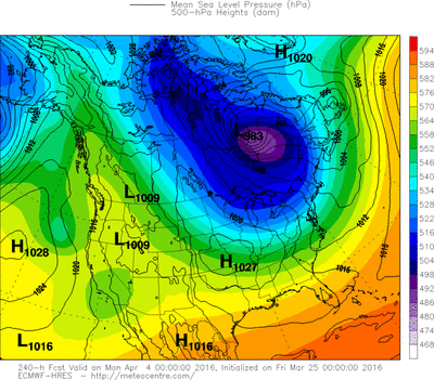
This upper air map indicates fair and warmer for the East...unsettled for Rockies and Plains. Below...models still indicating cold for the East for start of April. Aim - Great Lakes and Northeast. Have a happy and safe Easter Weekend.



 RSS Feed
