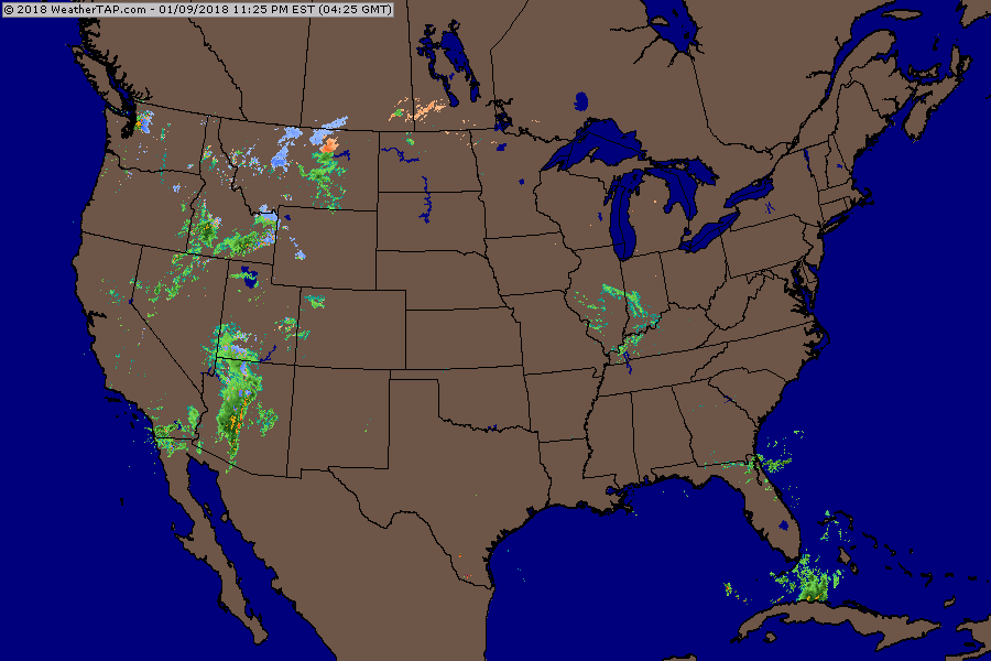
Radar shows rain from Great Lakes to Ohio Valley which will intensify by time it reaches East Coast on Friday. Snow and rain in Rockies reaches east by Saturday.
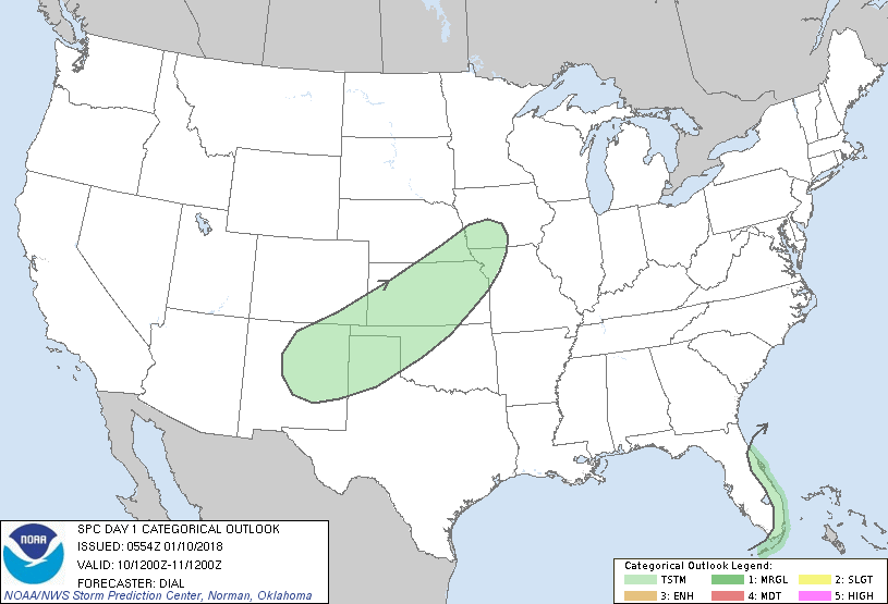
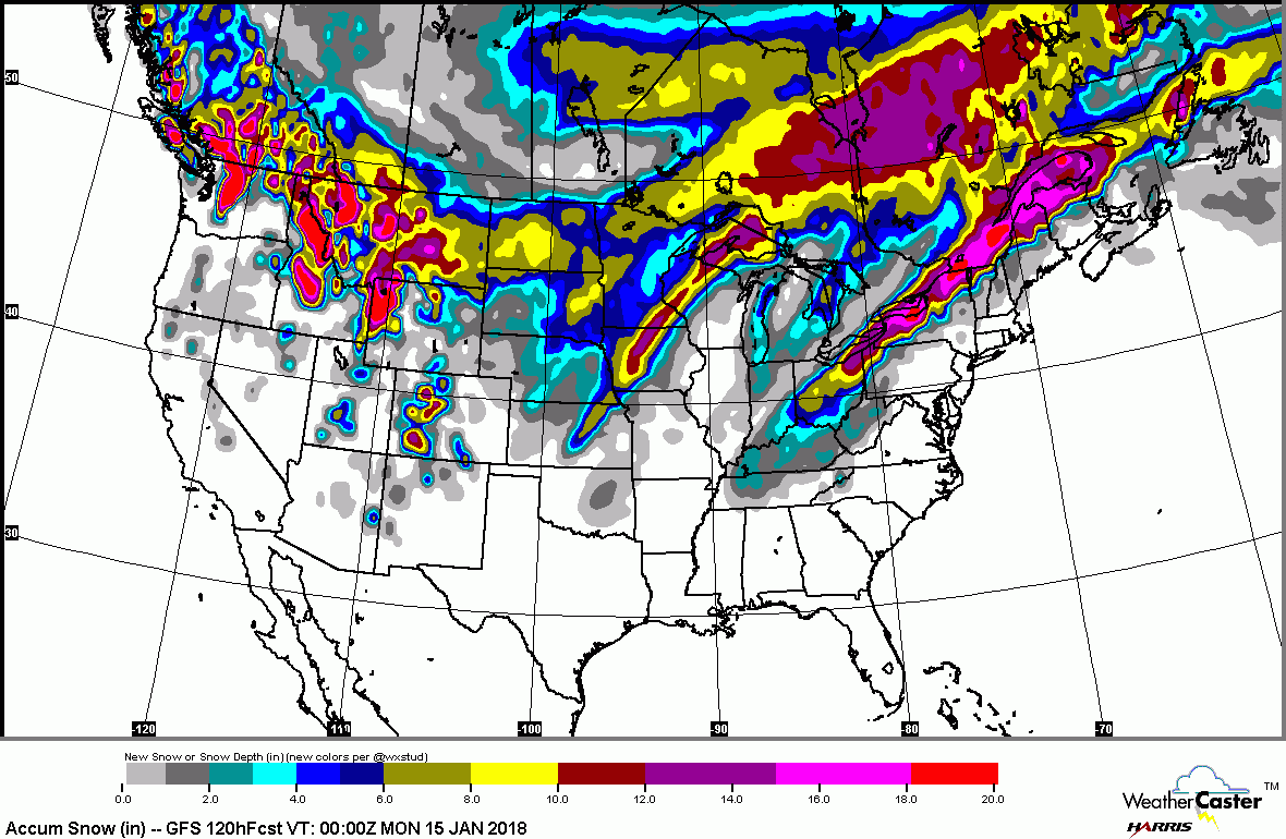
Green above...represents best chance of thunderstorms today. Below..amounts of snow expected next 5 days.
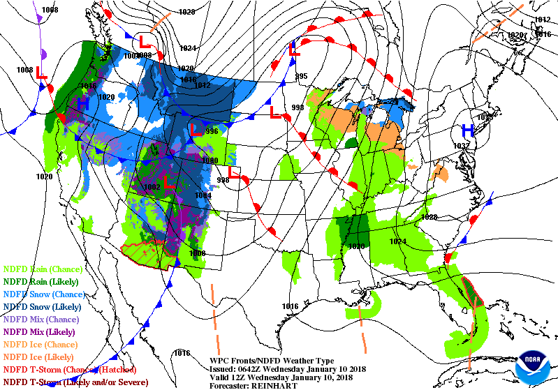
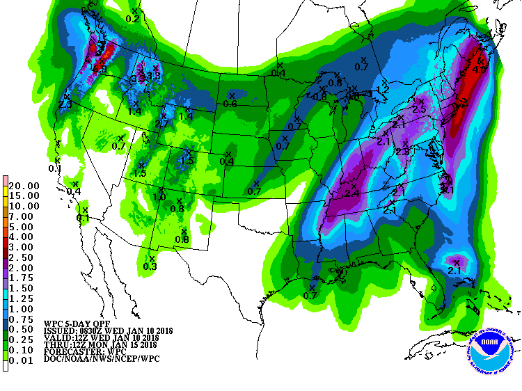
Above...maps show frontal system moving to east spreading rain ahead of it...snow in back of it. Low forming on front in Gulf States will head northeast and give parts of New England an ice storm this weekend. Below - amounts of rainfall over the next 7 days. Be safe.

 RSS Feed
