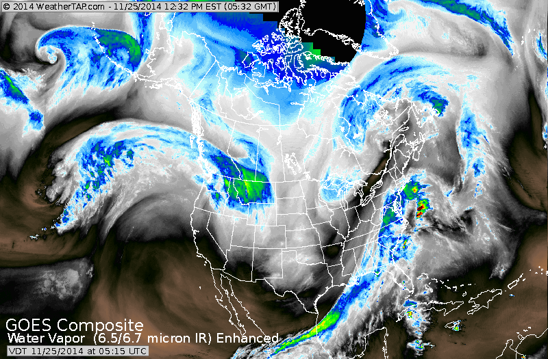
Moisture along the east coast represents a frontal boundary. It is this front that will spawn a storm that will travel up the east coast Wednesday...fired by energy you see dropping down the Rockies. Heavy wet snow will fall west of the I95 Corridor from DCA to Boston...where 8" +are possible. Close to the big cities...cold rain..mixes with wet snow and goes over to snow at night with accumulations there 1"-3". Along the coast from NJ to Cape Cod...1" or less expected.
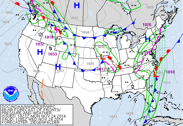
Map above valid for Wednesday a.m. Storm off Carolinas heading north. Pink represents rain/snow line...over major cities.
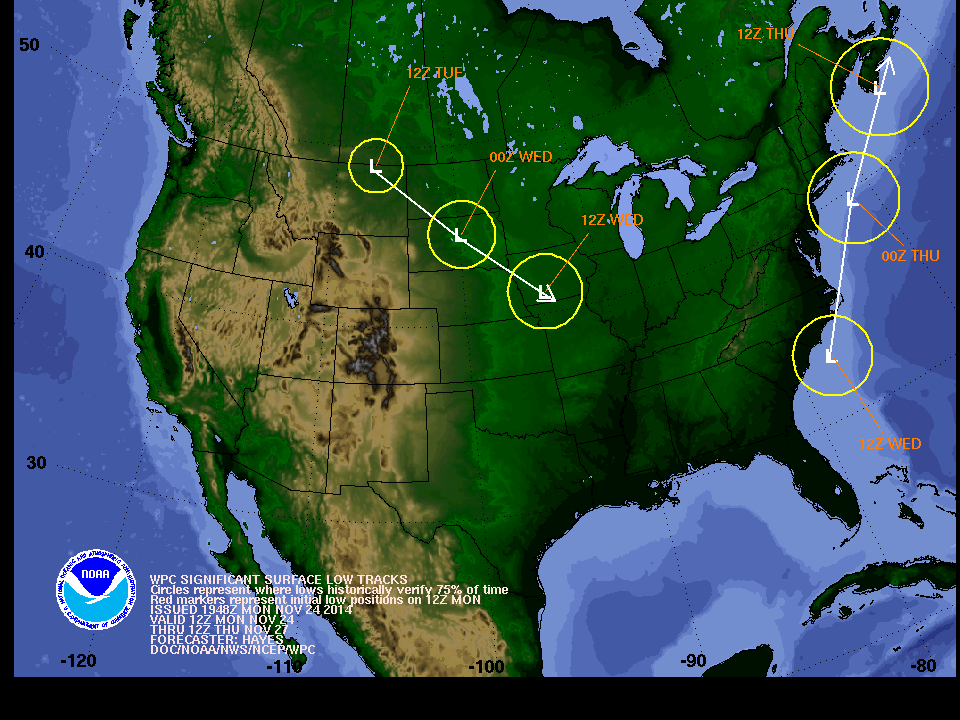
Above...timing and position of storm track along coast.
Clipper low in Plains will get absorbed by coastal storm.
Clipper low in Plains will get absorbed by coastal storm.
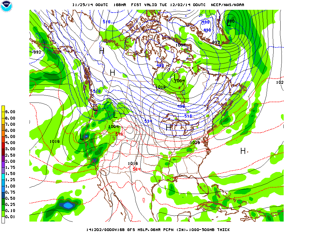
Map above is GFS model for next Monday. Notice the green in California. That's rain ! Finally....all of California will begin to get some rain...but certainly will not be a drought buster. Be safe. Later.

 RSS Feed
