Metro Weather Inc. Services
Like us, follow us, link to us, contact us!
  • Home
    • Daily Weather Discussion
  • Weather Prepared for You
    • Film and TV Production
    • Radio & Television
    • Government and Industry
    • Forensic Services >
      • Weather Record Request Form
    • Metro Morning Monitor
  • About Metro Weather
    • Senior Staff
  • Your Weather Images
  • Contact Us

Dog Days Not Giving Up.....

8/15/2016

0 Comments

 
Picture
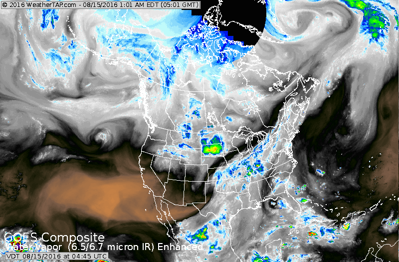
Stormy weather seen on satellite over The Dakotas...Ohio Valley and Midwest. The light white shows the hazy - sticky air mass...black - dry.
Picture
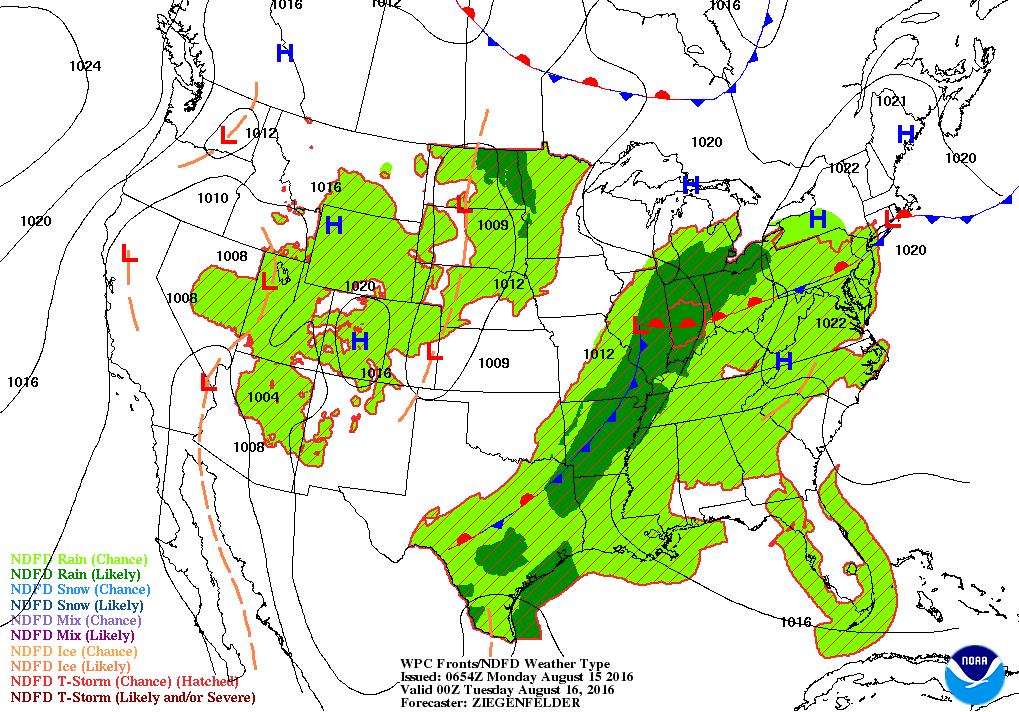
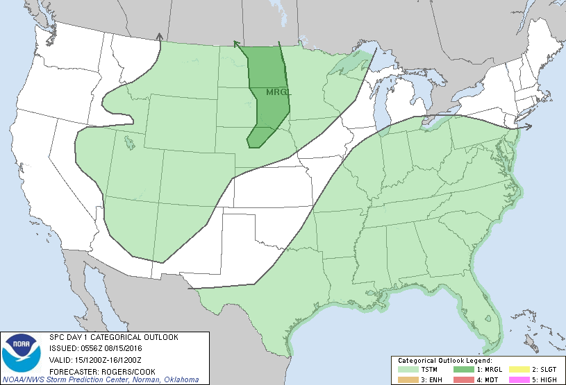
​Map for this evening showing the humid air with showers and storms from Mississippi Valley eastward.  Showers Rockies and Plains..but not as hot or humid there.  Below...threat of severe weather today in dark green.
Picture
​By next week at this time...a cold front will move off the East Coast and finally should bring a break in the heat and humidity. 
Picture
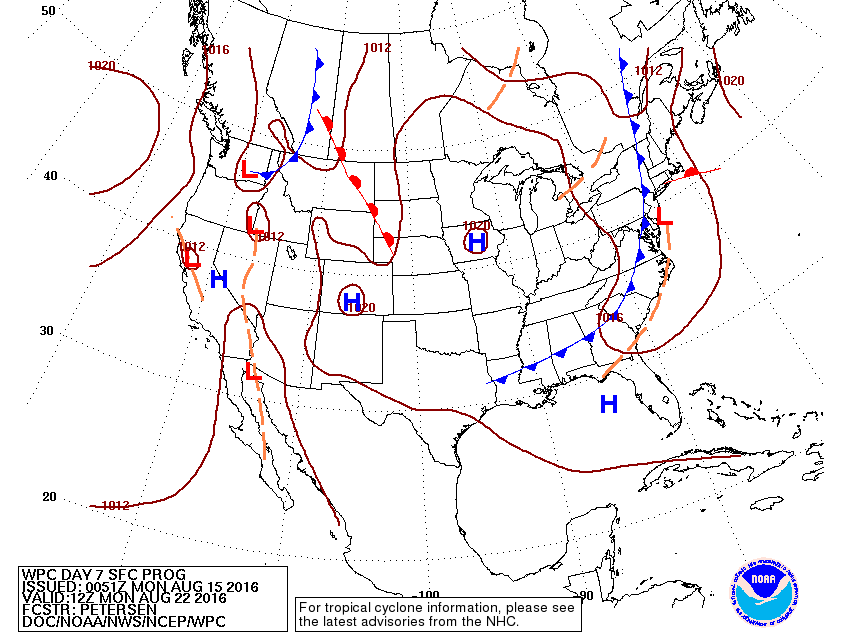
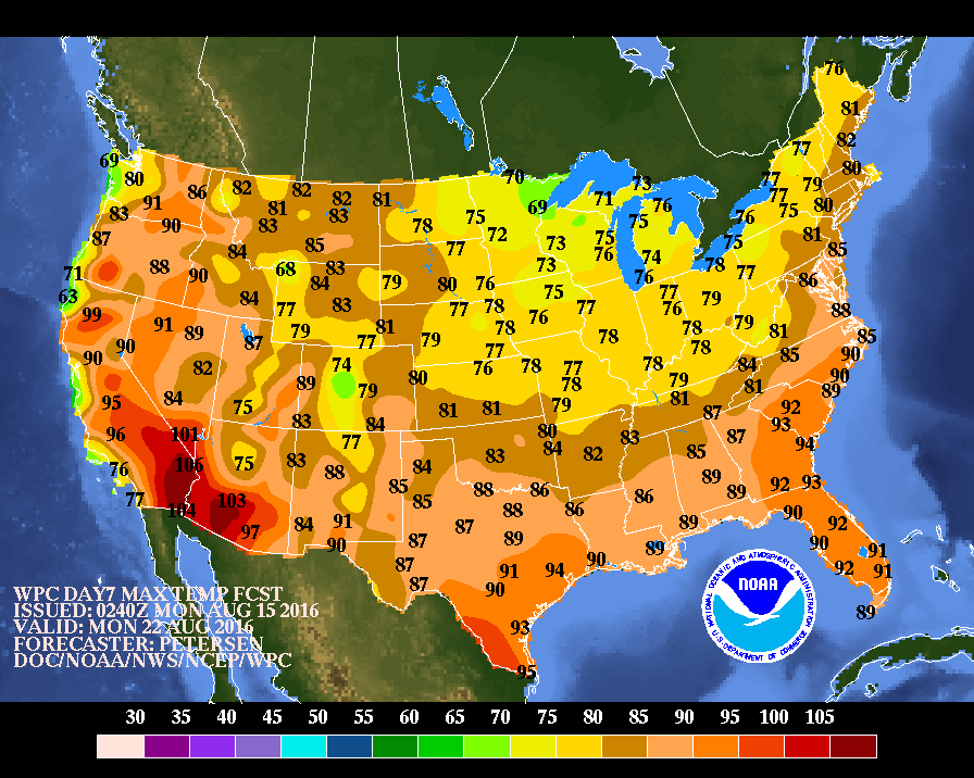
Below...temperatures forecast for next Monday.  Notice the mass of cooler and drier air. 
Picture
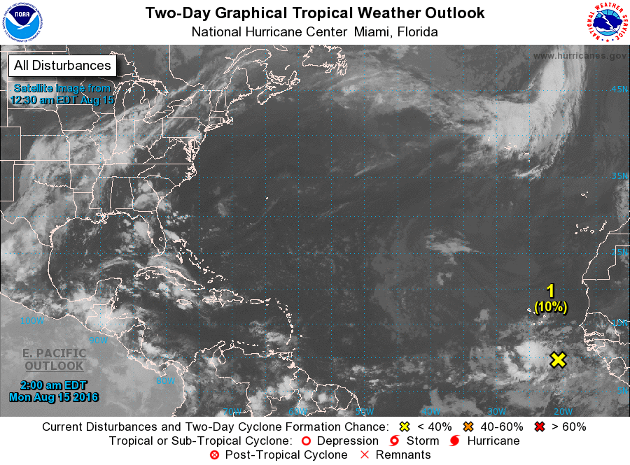
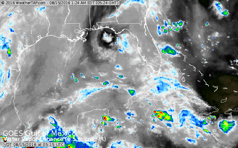
Below...hurricane center watching a disturbance off Africa....long time away.  Below that...notice the spin in the Northern Gulf Of Mexico. This is an upper level system...and although conditions are not great....we will be watching this closely.  Be safe.
Picture
Picture
0 Comments


Leave a Reply.

    Genesis of a Tornado
    We'll have daily weather discussions, talking about major systems on the horizon along with anything noteworthy that pops up on our radar.

    Pat Pagano,
    Mike Merin

    Follow us on Twitter and like us on Facebook to get updates whenever we post a new entry!

    RSS Feed

Powered by Create your own unique website with customizable templates.