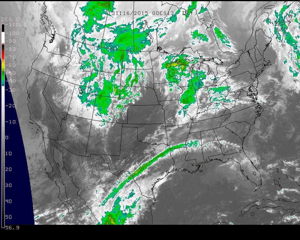
With the next big storm system churning in the Great Lakes region on this Saturday, many areas of the Northeast, New England, and in the Southeast got plenty of sunshine as depicted on the Infrared Image below of the US on Saturday afternoon.
Sunday into Monday will bring about a very strong low pressure system. Some current model outputs place the pressure into the 970-980 mb range with very tightly packed pressure lines. On a pressure map, this means a very high pressure gradient is present which results in higher winds.
The above 3 time stamps for Sunday afternoon - Monday afternoon show the progression of the system. The cold front will move across the seaboard near Monday morning or so but will bring rain and thunderstorms to the eastern US throughout Sunday. The areas with the greatest threat for Severe Weather will be near the Ohio River Valley on Sunday, but the threat will still be there for much of the northeast into late Sunday night and early Monday.
Following the passage of this system, the week looks dry for the eastern half of the country with a broad area of high pressure taking control bringing the November chill back into our lives once again.
Take care & be well.
- JL
Following the passage of this system, the week looks dry for the eastern half of the country with a broad area of high pressure taking control bringing the November chill back into our lives once again.
Take care & be well.
- JL


 RSS Feed
