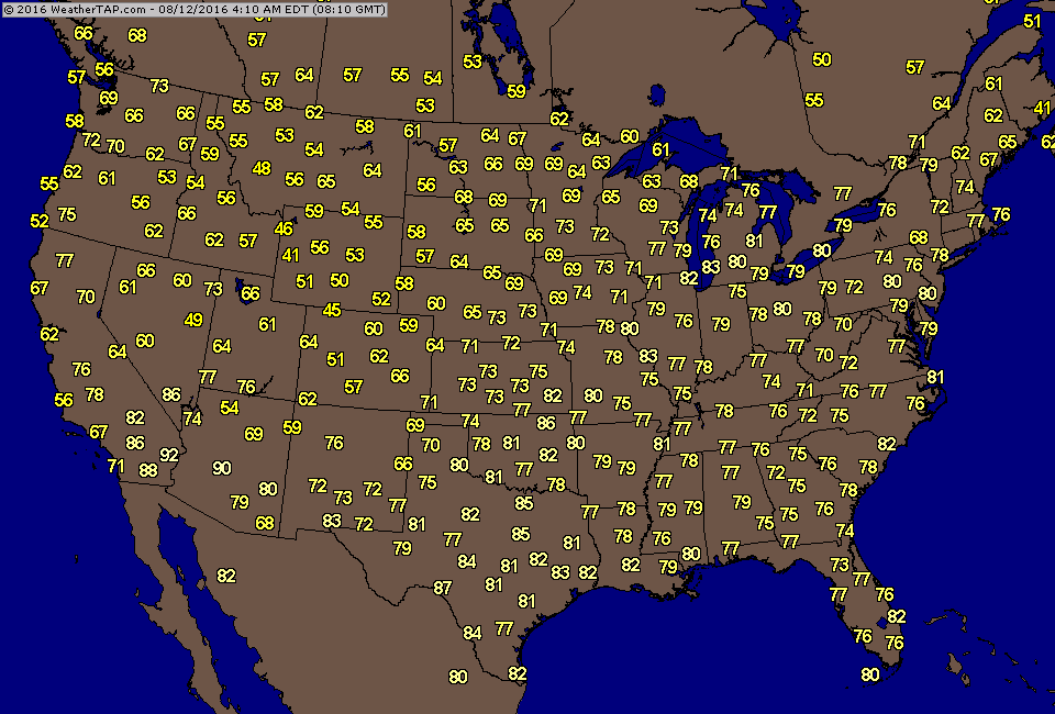
Predawn temperatures this morning.

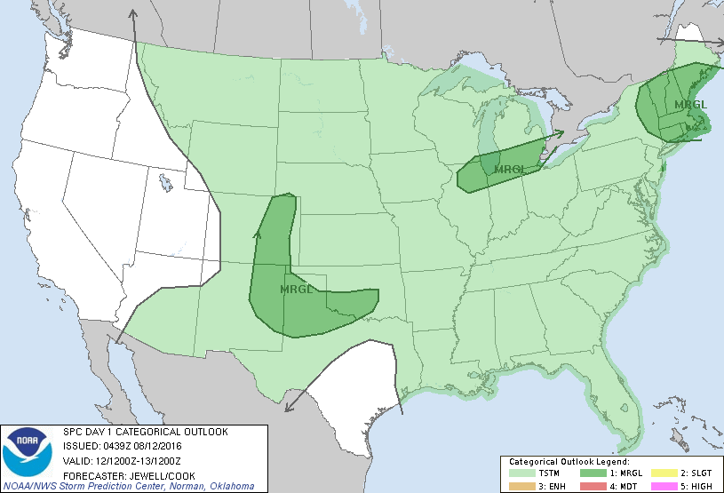
Cold front with storms in Midwest does not make it to east coast until Monday...and then it stalls and weakens out. Below..threat of severe weather today...dark green and yellow.
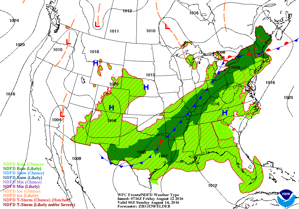
Weather map for Saturday night. Cold front in Ohio Valley with storms. That slides to East Coast Sunday where severe weather threat increases.
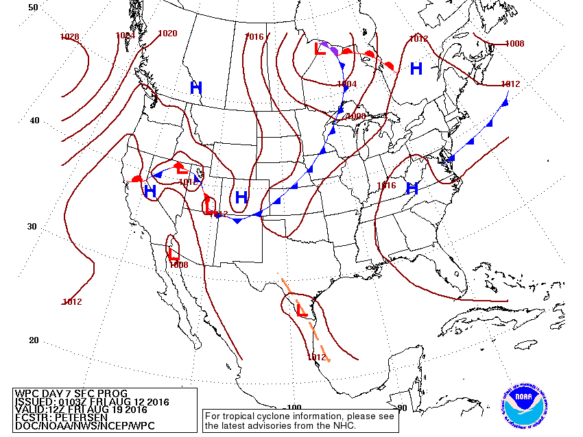
Map for next Friday.....cold front in east weakens...so have to wait for next one coming out of Plains before any type of relief is noticed. Below...satellite picture of low in Gulf States. As that system moves over Gulf Of Mexico - it could form into a tropical low....keep watching. Go slow ...be safe.


 RSS Feed
