
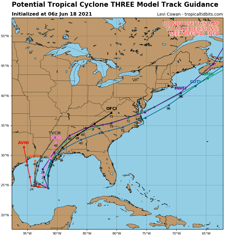

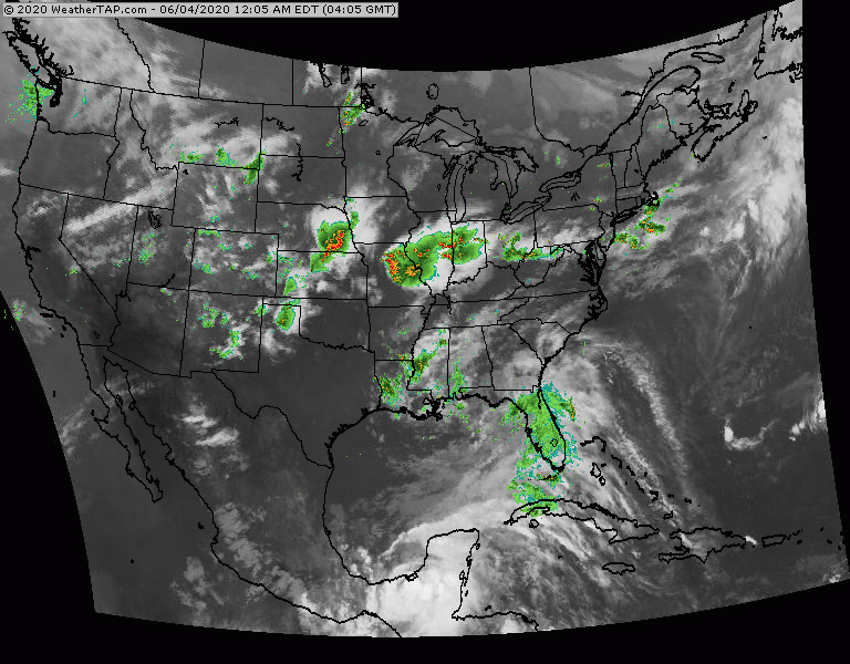
Above....track forecast by Hurricane Center. Center - tracks expected by models...most of which are in very good agreement that it will be Louisiana. On right - amounts of rainfall through Monday. Timing for the tropical storm in Sunday into Monday and flooding appears to be a big issue as well as a storm surge. Below - satellite picture. Storms in Ohio Valley will head east and could be severe for Mid Atlantic today
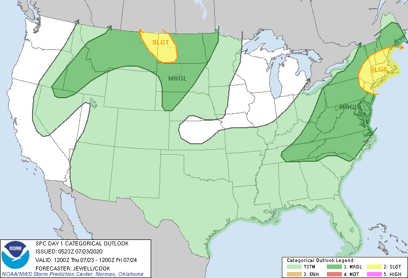
Below - today's risk of severe weather - dark green and yellow - animated maps for next 2 days.


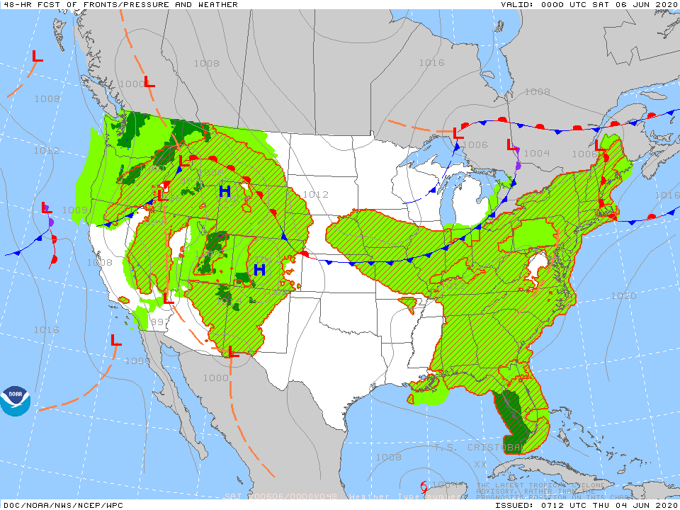
Below- snapshot weather for Friday.
STAY SAFE !!!!
STAY SAFE !!!!

 RSS Feed
