
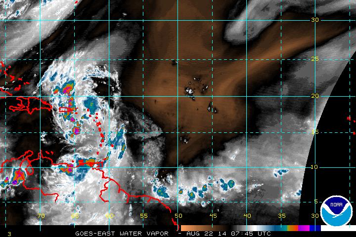
Satellite above shows a zone of wet weather from Midwest to Mid Atlantic. That should move south over weekend. The Pacific tropics very active......disturbance near the Leeward Islands needs to be watched.
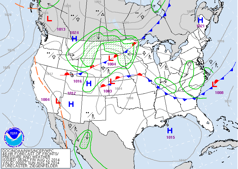
Map above valid for late Saturday. High pressure over Maine bulds south allowing for nice weather in the Northeast. Widespread wet - cool weather No. Rockies and Plains. Hazy - hot humid south.
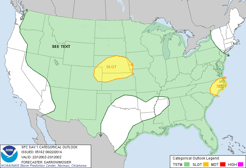
Today's threat for severe weather is outlined in yellow.

Above...hurricane center giving disturbance over Leeward Islands an 80% of developing into a tropical storm or more.
Odds are that this system will stay in the Atlantic- east of The East Coast....but The Canadian model wants to bring it across Florida...while the UKMET wants to bring it south of Fla. Below...a close up satellite pix. Doesn't look too organized at this time...but that can change. Have a nice weekend...be safe.
Odds are that this system will stay in the Atlantic- east of The East Coast....but The Canadian model wants to bring it across Florida...while the UKMET wants to bring it south of Fla. Below...a close up satellite pix. Doesn't look too organized at this time...but that can change. Have a nice weekend...be safe.

 RSS Feed
