High pressure in control of the Eastern US today, temperatures expect to be in the 80's for many areas of the Northeast, but a light breeze will make more enjoyable for any additional BBQs that were postponed due to Friday's inclement weather.
Conditions will get a bit stickier into the week though...
Conditions will get a bit stickier into the week though...
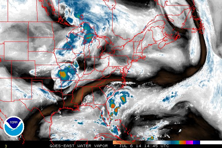
Water vapor imagery above shows flow to the west that will bring in multiple shortwaves to the Northeast into the week resulting in scattered thunderstorm activity.
Along with this, advection will bring in warm and humid air. With surface temperatures reaching 90 along the interior of the Northeast, indices will jump towards 100 in some areas thanks in part to humidity jumps.
Following this stretch, high pressure returns to end the week while the south deals with the front moving south and brings showers to the Southeast.
- JL

 RSS Feed
