
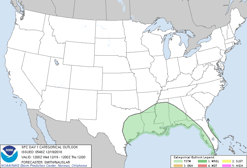
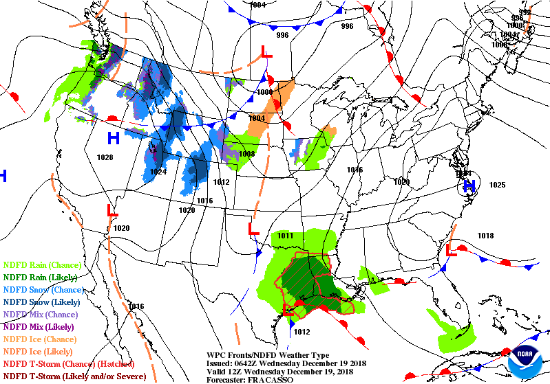
Satellite + radar shows storm that was in New Mexico yesterday and now in Texas...and front moving across No. Plains. The 2 will bring a swath of heavy rain and mild conditions to the East by Friday. Below - severe risk of thunderstorms today in green.
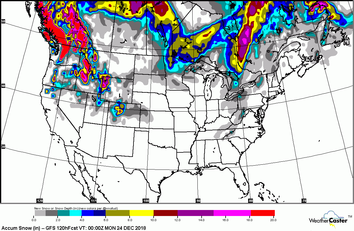
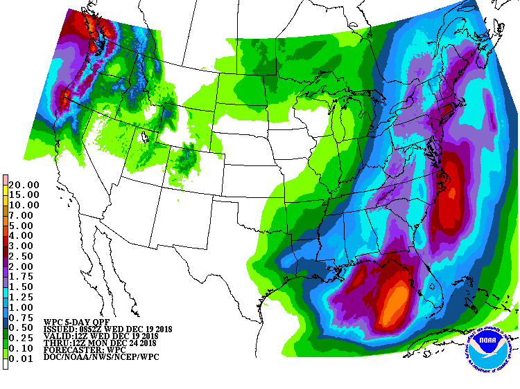
Above...animated maps for the next 2 days. You can see the storm in Central States expand as it heads east. Below - snowfall and rainfall predictions right through the weekend.
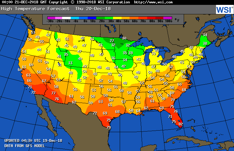
Below- high temperatures for Thursday.
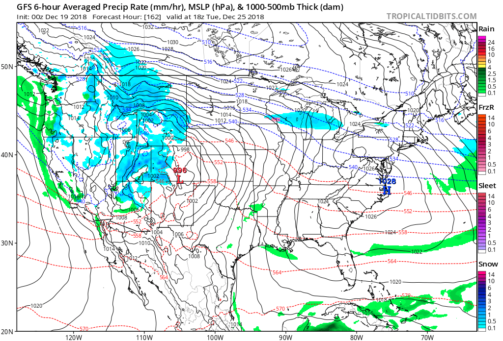
Above...GFS Model for Tuesday, Christmas Day. Some light snow over Great Lakes. A touch of rain Gulf Coast, snow across The Rockies...Rain along the West Coast. Be safe.

 RSS Feed
