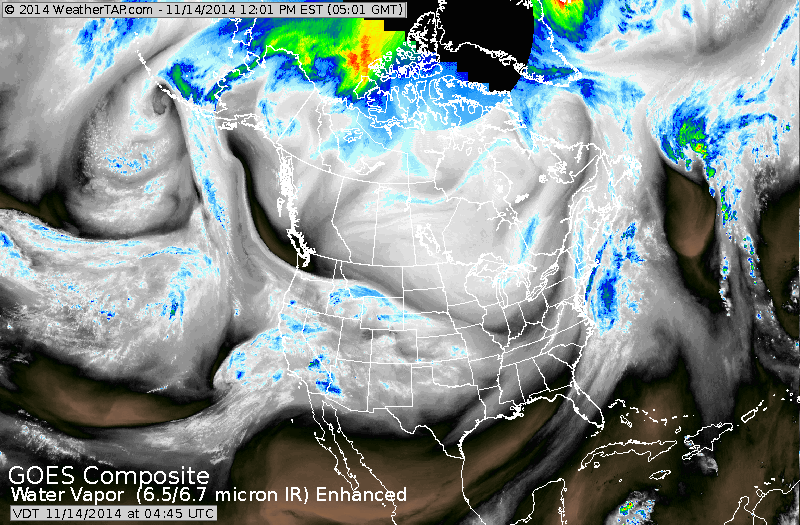
You can see how the jet carved out s nice chunk of the nation from Pacific Northwest to Carolinas. The blue showing up off New England will be moving out this morning as rain and snow. The blue's out west will be the next storm to move east arriving on the east coast Monday only to be followed by a blast of arctic air.
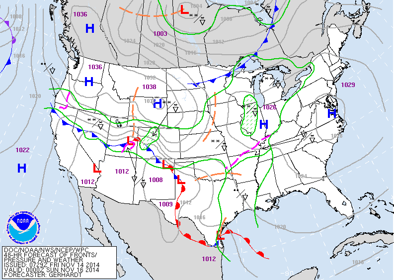
This map is valid for Saturday evening. Storm moving thru Rockies producing rain ahead of it...snow with it. That's the system to bring inclement weather east early next week.
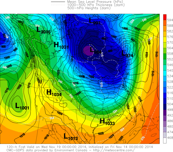
This is the Canadian model valid for next Wednesday. Pretty similar to it's run yesterday showing arctic air flooding the East....with gusty winds and lake effect snows.
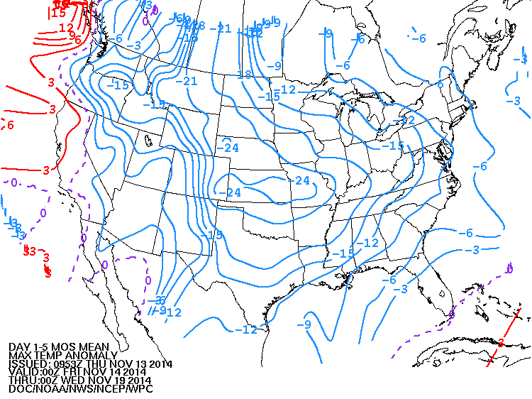
This map shows how high (day) temperatures will average over the next 5 days. Blue = cold - which shows almost the entire nation below normal except out west. Have a safe weekend.

 RSS Feed
