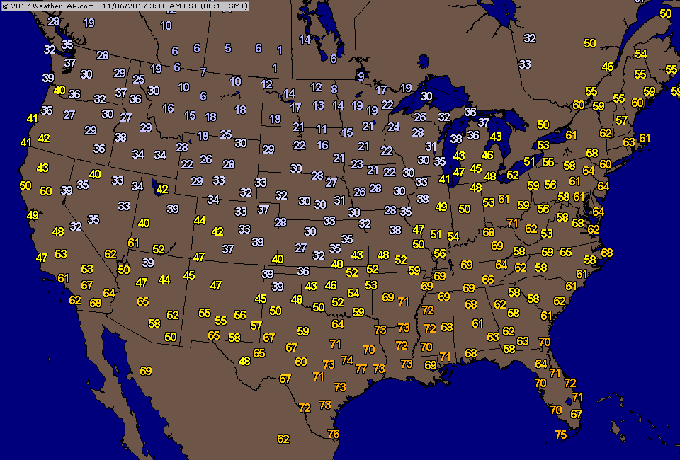
Satellite & radar above show cold front moving toward east coast. Showers and some thunder ahead of it...much cooler behind it. Below- early Monday morning actual temperatures.
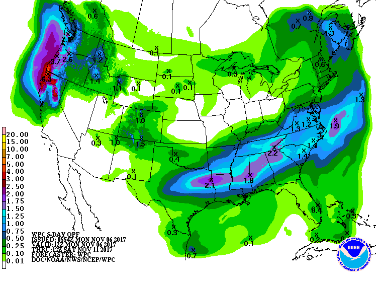
Below - current lightning detection followed by amounts of rain over the next 5 days.
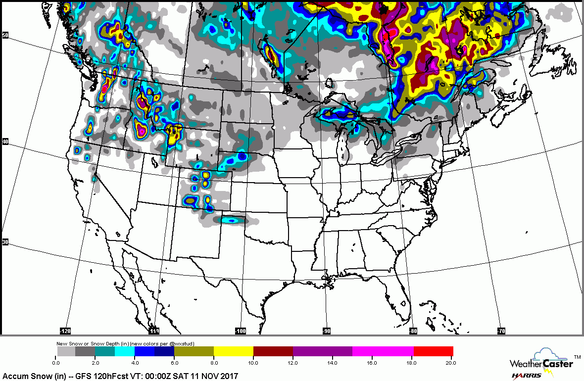
Below you will find current snowcover...followed by forecast for snow over next 24 hours.
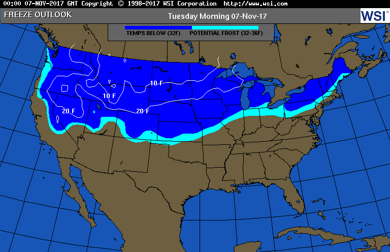
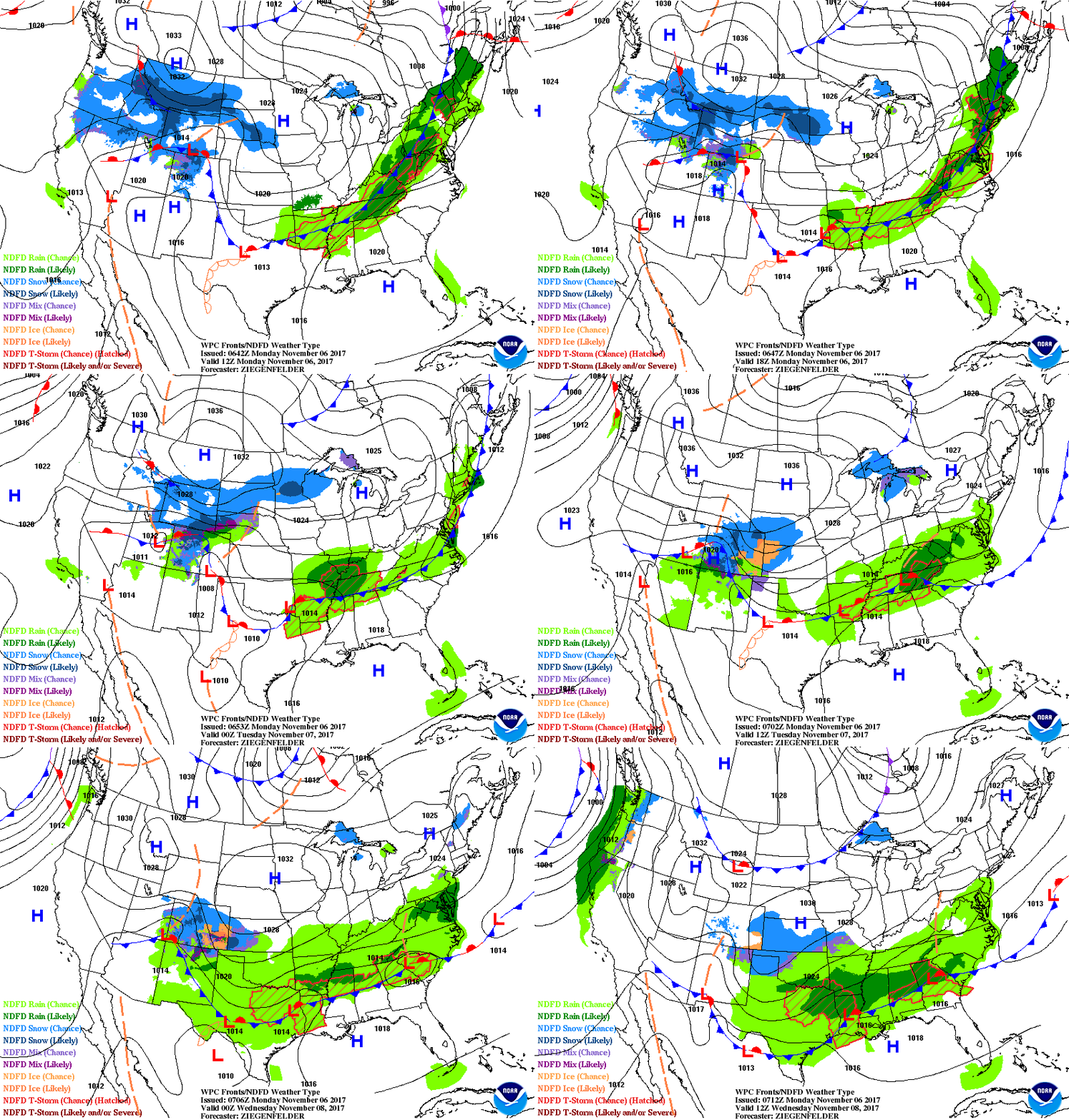
Below - forecast for freezing line next day.....followed by animated maps for next two days. Front moving through East today will stall over Mid Atlantic and result in soggy weather there and points south. Meanwhile it will only get colder from Rockies to Plains this week and that real chilly air reaches the East by end of week. Be safe.


 RSS Feed
