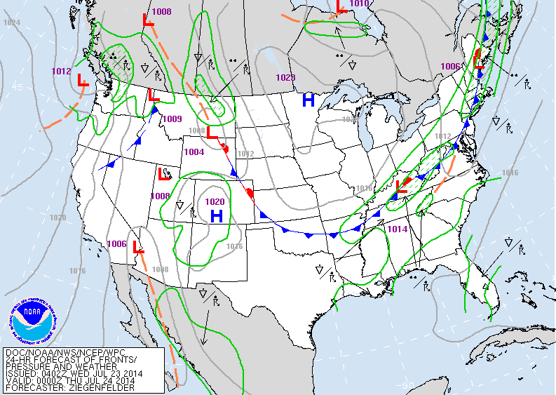
Above....map is valid for early tonight. Cold front pushing thru Northeast and down to southern plains...which is very unusual for this time of year. High pressure over Minnesota will bring great weather for much of the Nation.
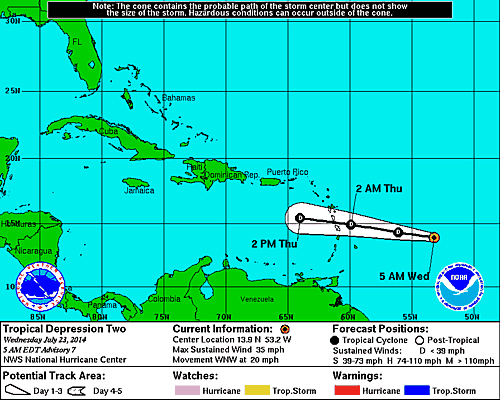
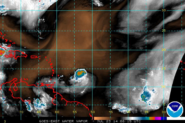
Above...map showing track of latest tropical depression...which is still expected to weaken and not pose a threat. Below...satellite picture of this depression.
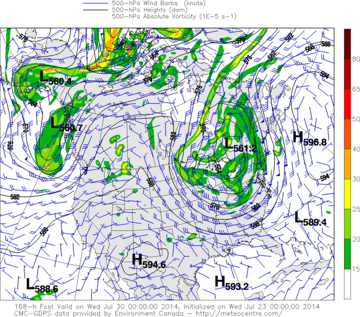
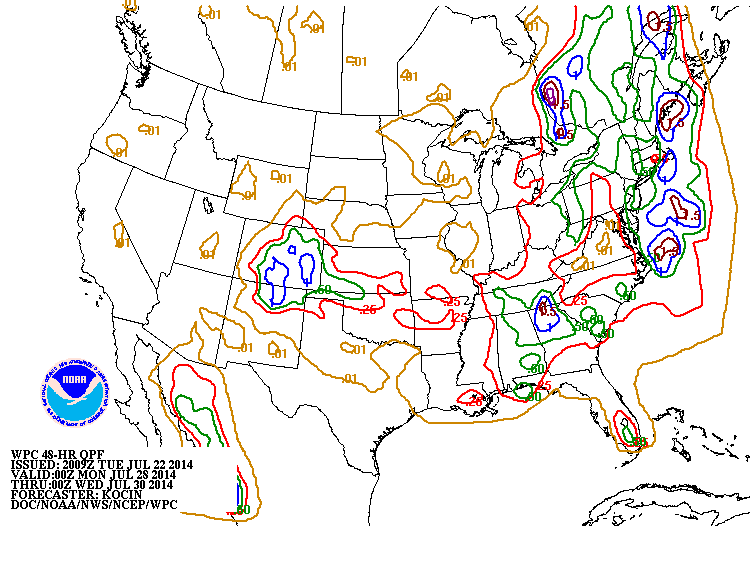
Above...upper air map for next Tuesday. Notice the massive low over The East. Once again...not typical for this time of year. This will bring below average temps, and bouts of unsettled to stormy weather from Great Lakes to Gulf States over to the East Coast next week.. Below...you will see a rainfall map for early next week. Notice the expansive area of rain...and notice pockets of very heavy rain. Good luck to try and get this right.

 RSS Feed
