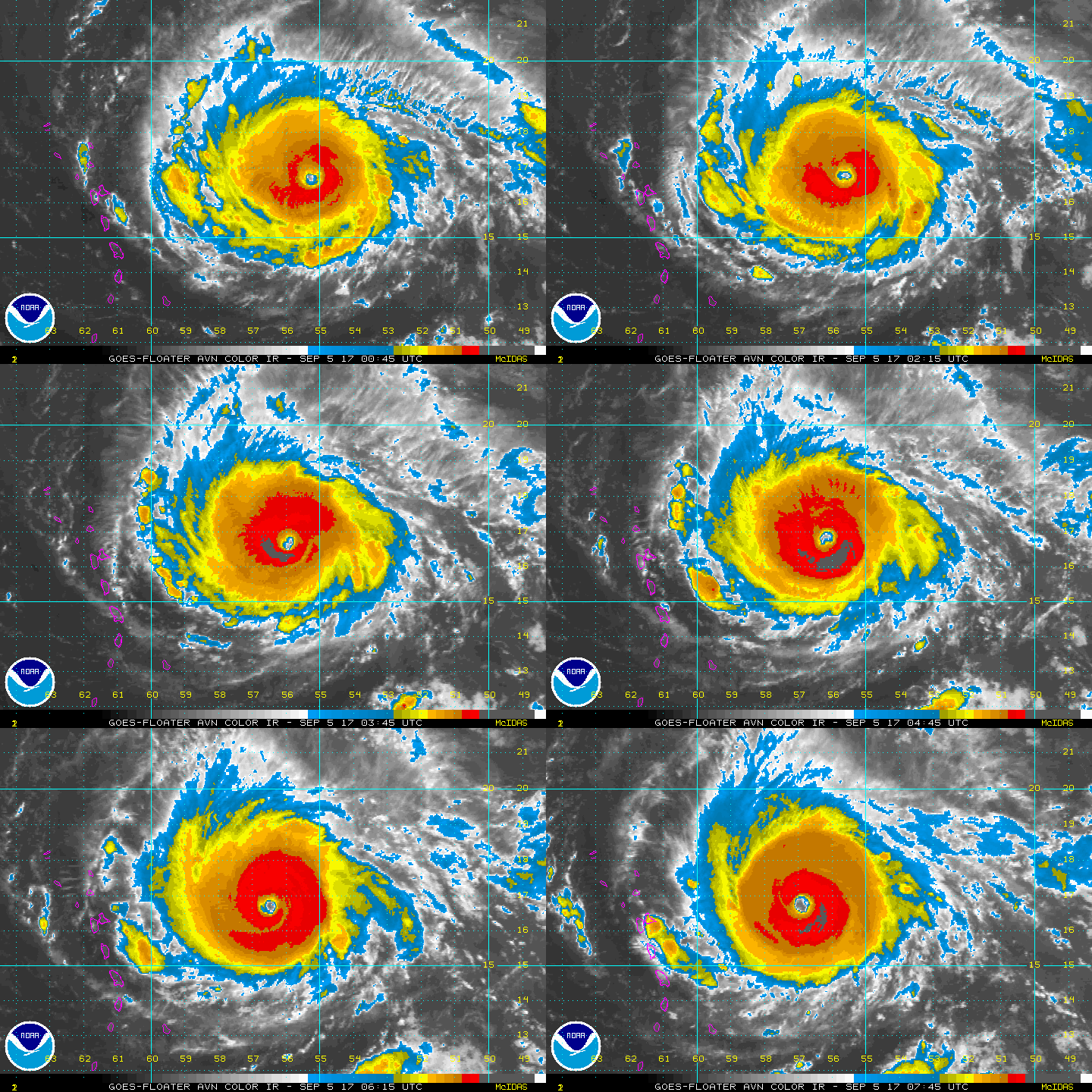
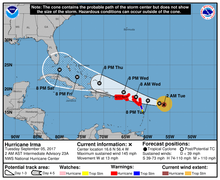
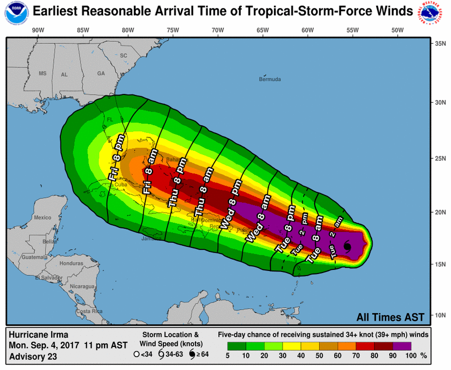
Irma is packing 145 mph winds and will wallop the No. Leeward Islands first. After that...computer guidance is increasingly convincing that she will hit Florida. Always a chance she could move a bit further south...and it is one week away....otherwise anyone reading this...residing in Florida or having friends and relatives there - especially southern half....should have an emergency plan in place now...do not wait. Below - track..and wind projections.
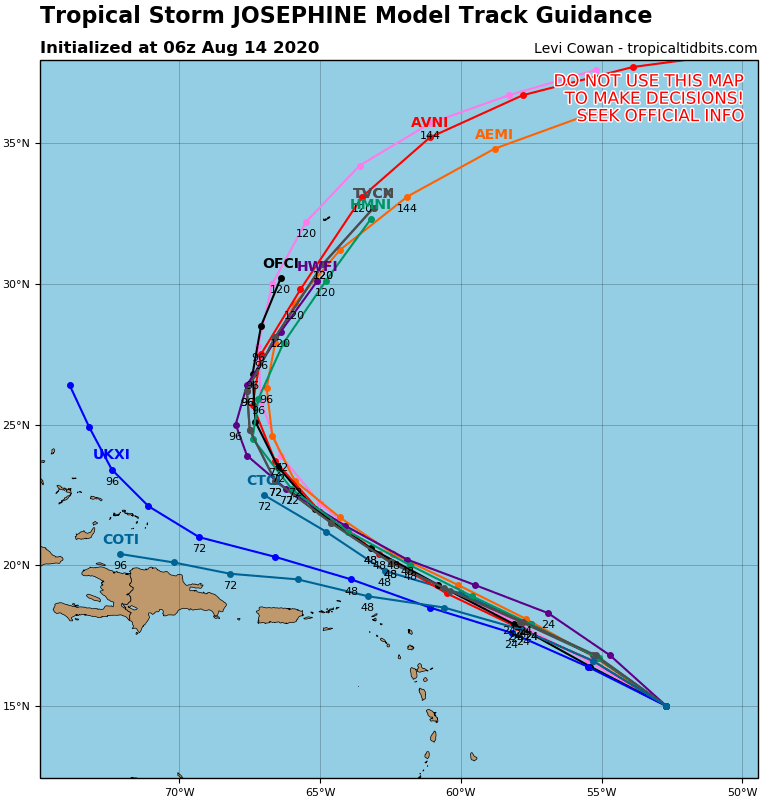
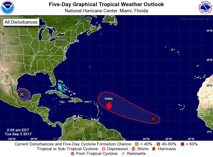
Below - computer model tracks. Notice how they are all pretty much in agreement even at this long range standpoint. Following that...a look at the hurricane basin...and Jose and Katie may not be far behind....but one at a time for now.
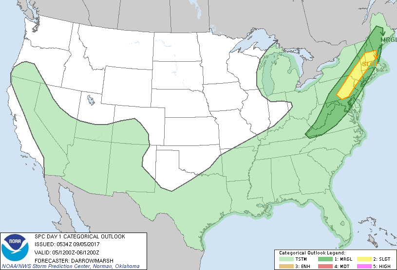
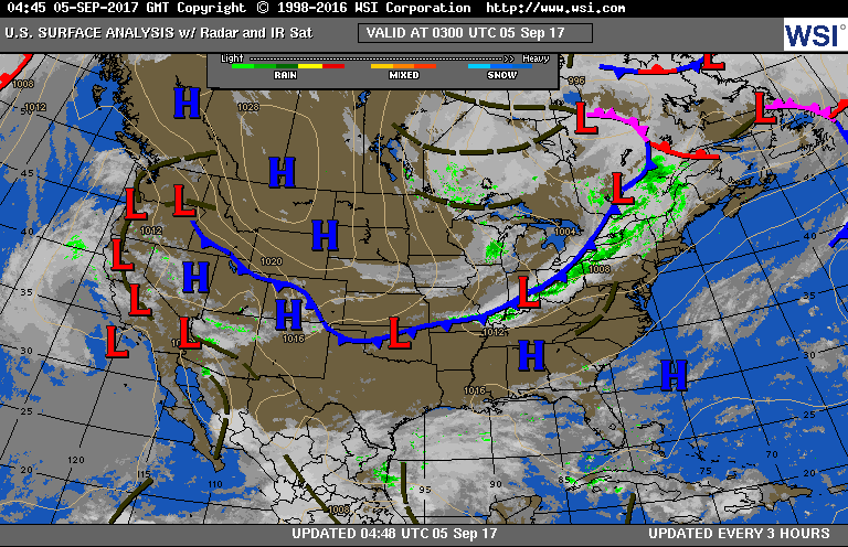
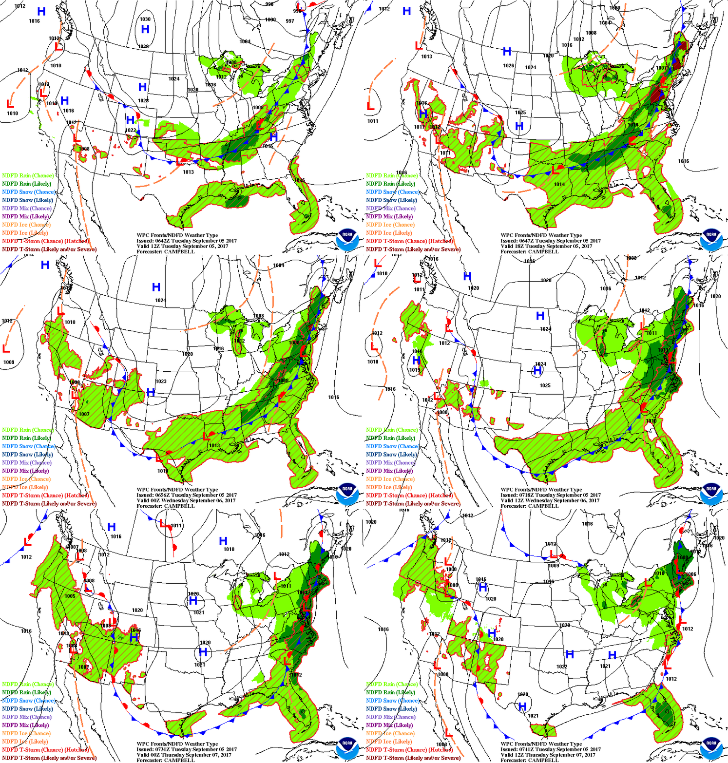
Below - current satellite and radar showing cold front moving into Northeast. This front will dump heavy rain Northeast and Mid Atlantic...and some will think it is because of Irma...IT IS NOT. mAPS FOLLOWING....Risk of severe weather today - dark green and yellow...current surface map and animation for next couple of days. We will continue to update Irma as information changes.

 RSS Feed
