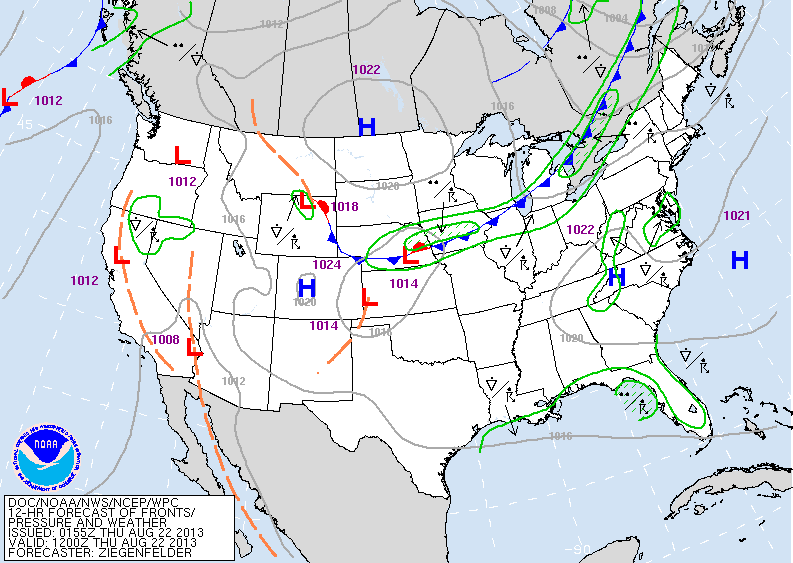
Don't see much of a change in the national pattern. Trofs on each coast..ridge in middle. One cold front after another will move across The Northern US...about every 4-5days. Front moving by mid next week may actually result in a good sized storm off New England....that could do well for Labor Day Weekend for The Northeast. Here is today's weather map...showing the next cold front headed for the Northeast.
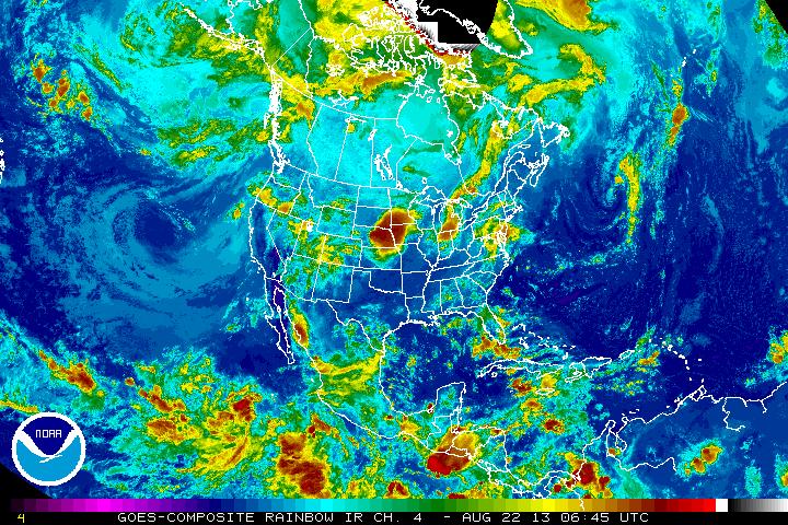
Satellite pictures show some moisture with cold front...but not impressed.
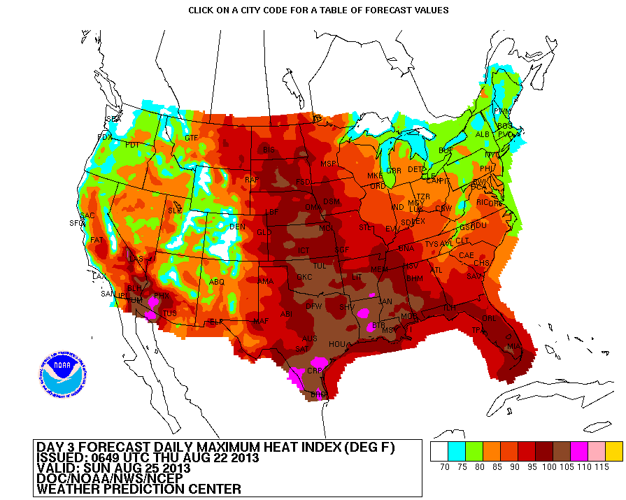
Tropics remain very quiet. Long range model for early Sept. shows nothing of interest in the tropical Atlantic. Map below is a heat index chart for this Sunday. You can see where the heat is...and for the most part that's where it has been and pretty much will stay there for rest of the month. Be safe...Later.

 RSS Feed
