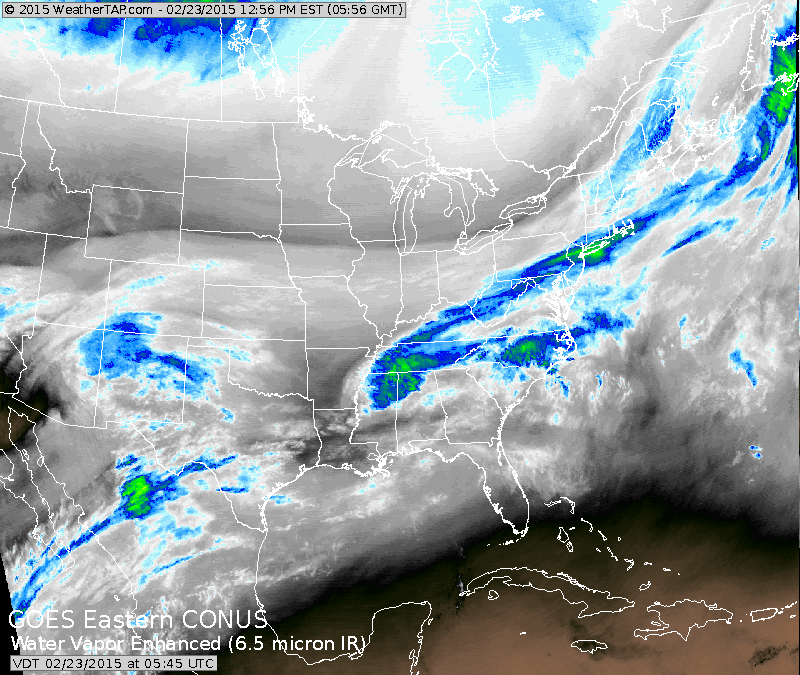
Band of blue over Northeast is the next cold front which will bring falling temperatures today. The array of colors in the Southwest will head east across the southern third of the nation next couple. The blue and green coming down out of Canada is next clipper low to bring a reenforcing surge of cold air to the North.
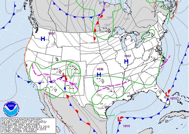
The map just backs up what we talked about in our satellite picture.
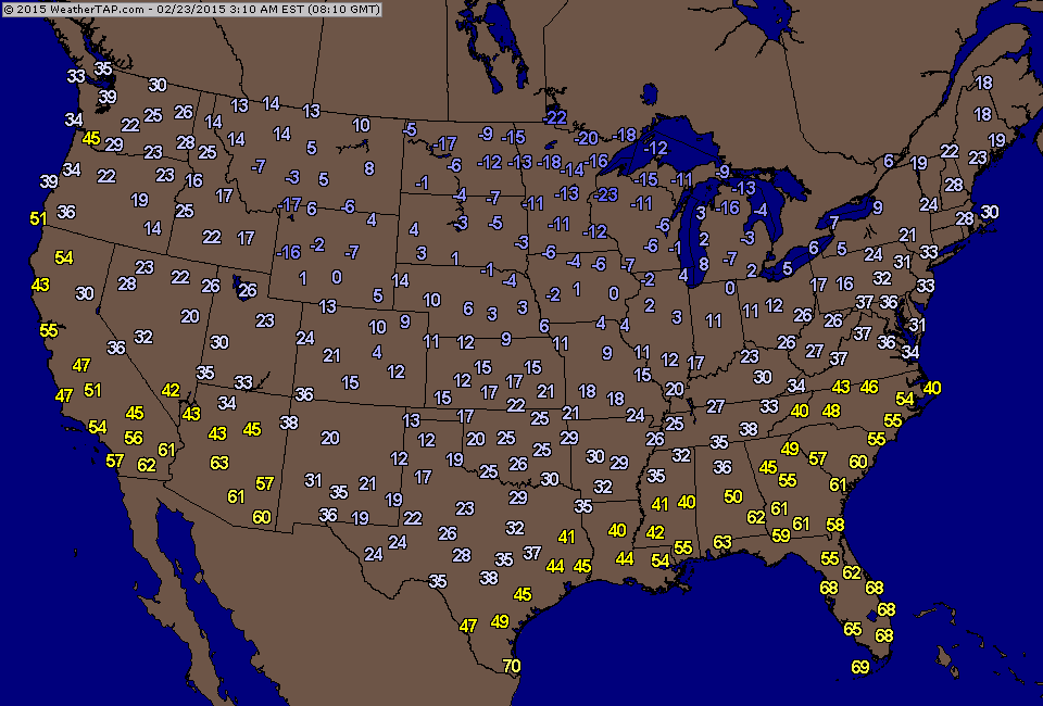
4am temperatures across The Nation....not much change from last week.
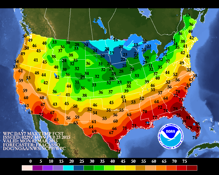
Above...expected daytime temperatures for next Monday...finally seeing a change in the pattern.
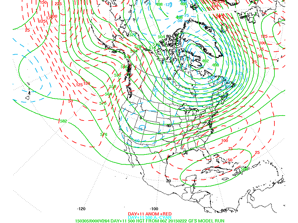
This is the upper air pattern projected for some 10-11 days from now. The jet is now over the west...and ridging is over the east. The southwest flow aloft over the east mean milder...but doesn't mean dry......so March like weather could easily take hold......still better than February like.
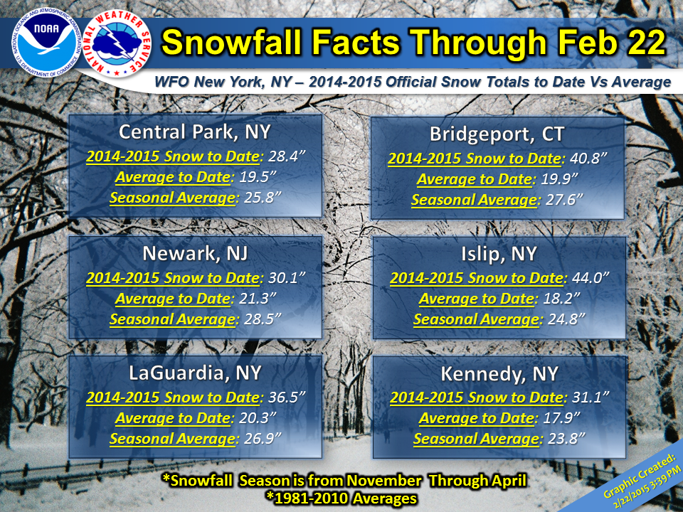
Below ...is a table for NY Metro area complied by The National Weather Service. Makes for interesting reading. Be safe all.
Below ...is a table for NY Metro area complied by The National Weather Service. Makes for interesting reading. Be safe all.

 RSS Feed
