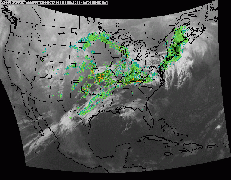
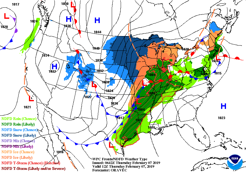
Satellite + radar shows storm moving across Midwest to Great Lakes with rain and thunderstorms.....snow Upper Midwest. System moves across Northeast early Friday allowing cold air to return to much of the Nation.
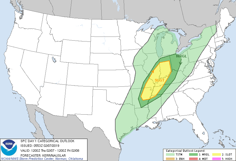
A train of storms will begin next week...anyone's guess who gets the snow and ice. Below - map showing lightning...followed by threat of severe weather in dark green and yellow.
A train of storms will begin next week...anyone's guess who gets the snow and ice. Below - map showing lightning...followed by threat of severe weather in dark green and yellow.

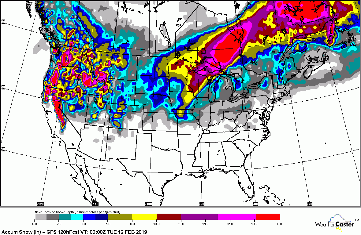
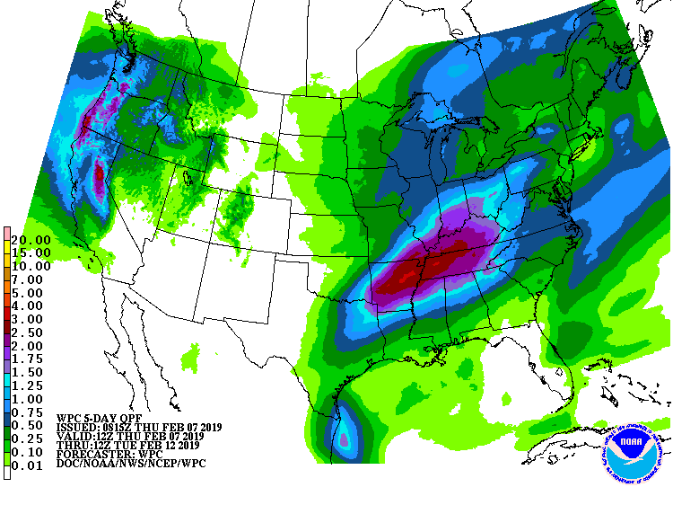
Below - expected snow then rain into early next week.
Animated maps below followed by high temperatures for Friday.
Be safe.
Be safe.


 RSS Feed
