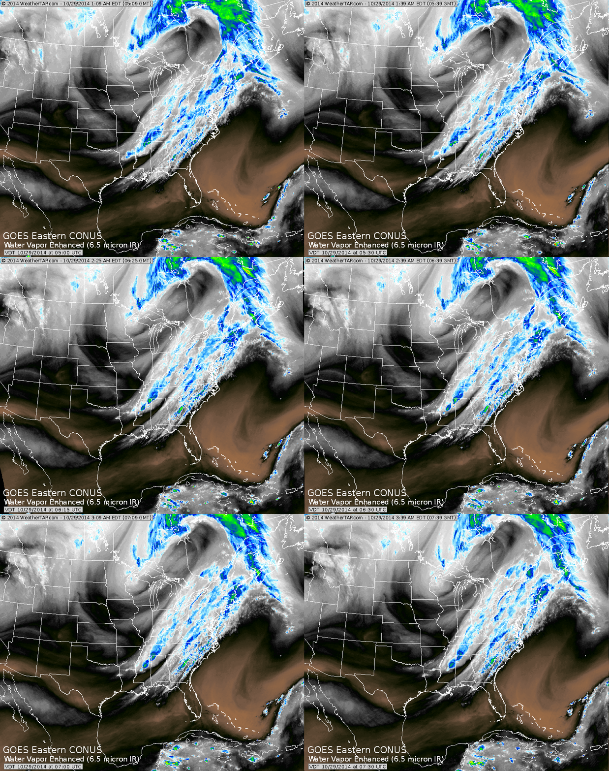
Above....cold front sliding into Appalachians with some showers ahead of it today. Disturbance over Great Lakes
will head southeast and possible cause trouble for Appalachians and coast Saturday.
will head southeast and possible cause trouble for Appalachians and coast Saturday.
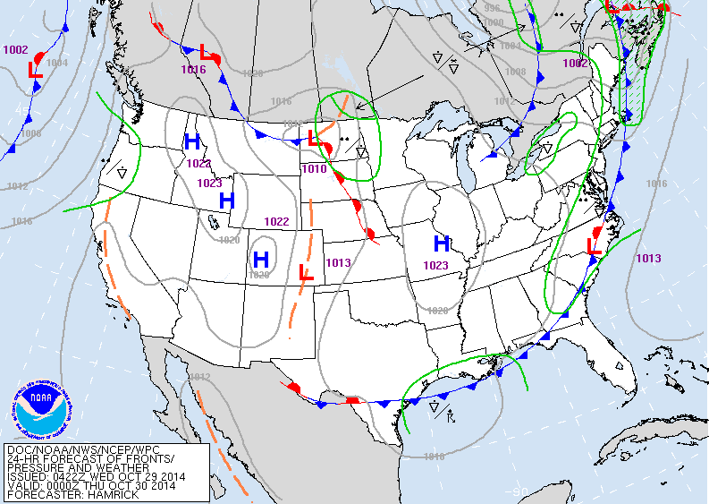
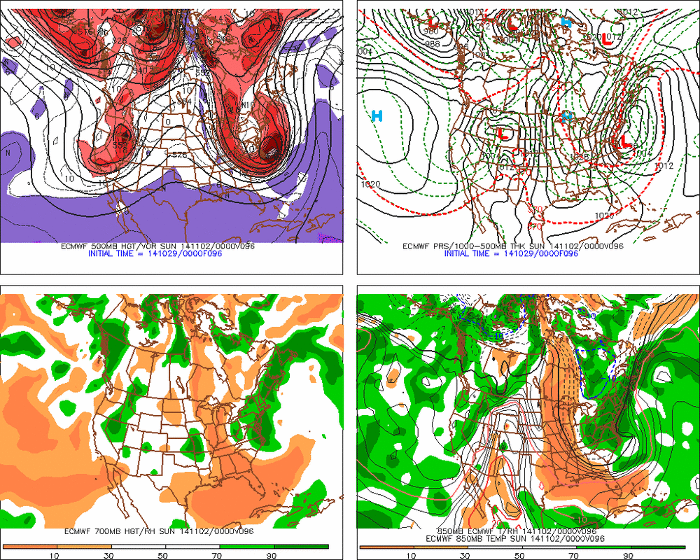
Cold front sliding off east coast will be a big factor in possible storm Saturday. See the clipper low in North Dakota.....it will move southeast. It will likely cause a storm to form on that front offshore which would be far enough offshore.....but........ that clipper low will have some very strong upper support and our thinking is that a 2nd low will form closer to the coast and at least bring rain to coastal plain...while Appalachians go to wet snow. You will see the various models below.
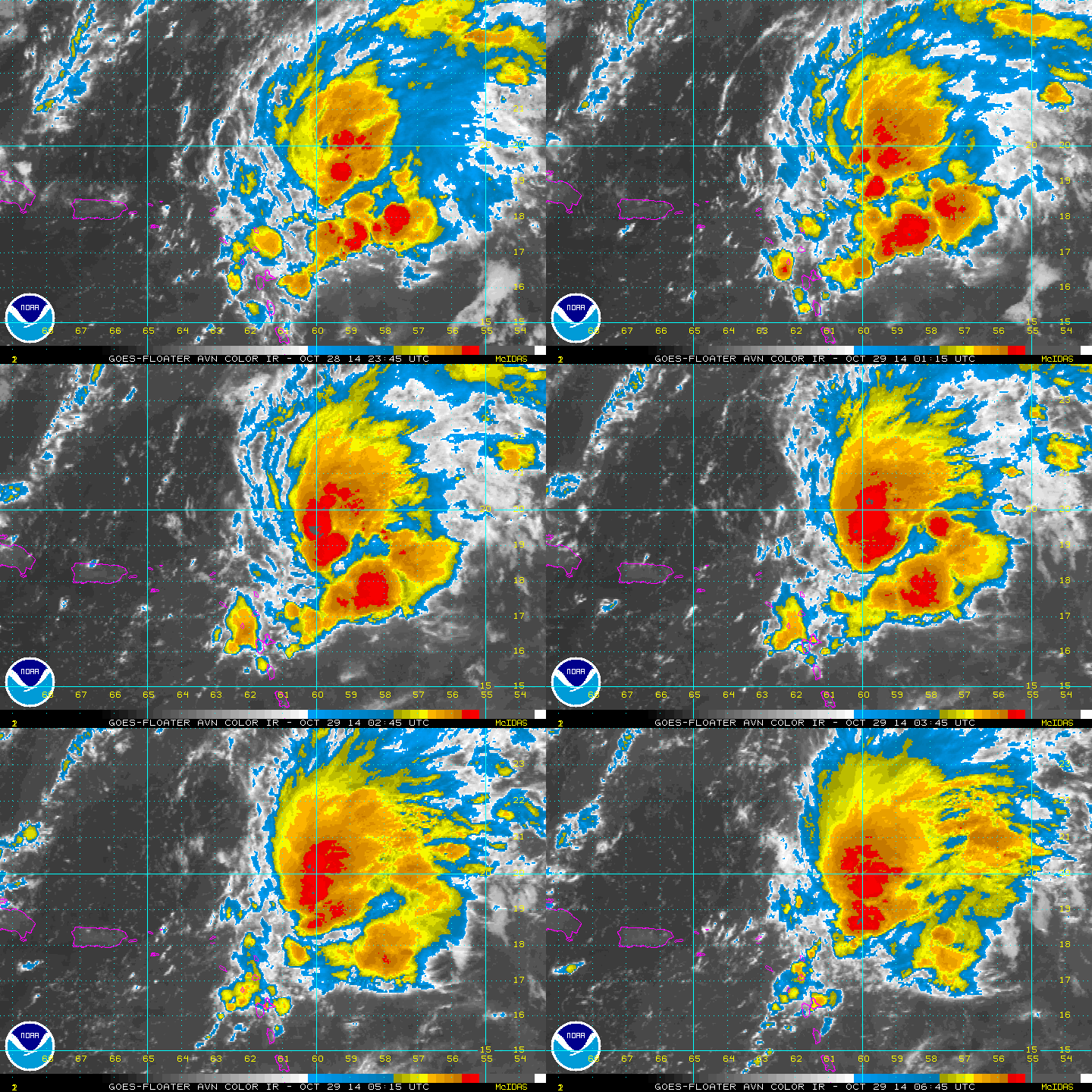
This tropical disturbance is ne of The Leeward Islands. It could become Isaias but hurricane center is doubting that.
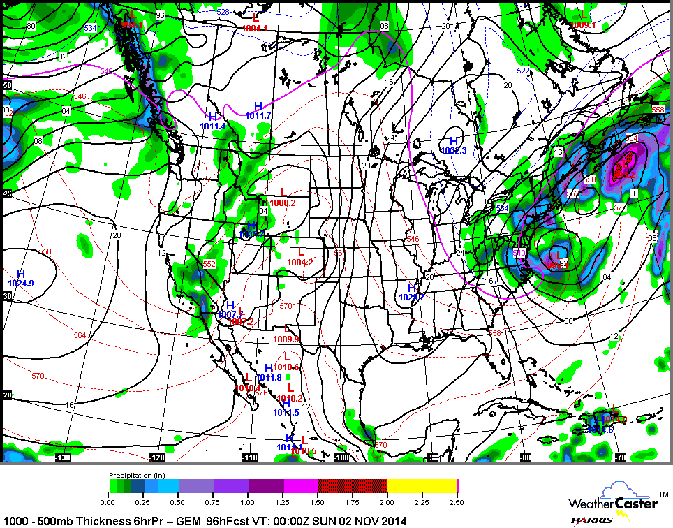
Above...Canadian model for Saturday. Very powerful storm with rain coast...wet snow inland.
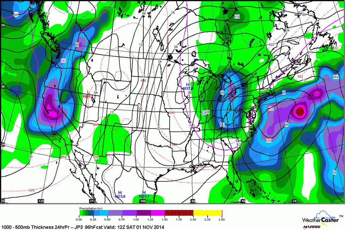
Japan Model above - showing 2 storms....again rain coast..and heavy wet snow in lower lakes.

 RSS Feed
