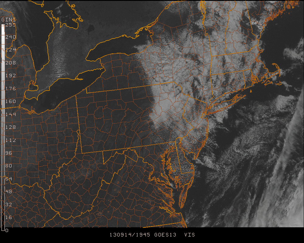
Low pressure centered just to the northeast of the US has brought the broken clouds to the region today. However, high pressure behind it to the west is bringing in more stable air resulting in skies clearing into tonight and bringing a sunny & comfortable Sunday...
Temperatures in the 80's are going to be a rarity real soon with normal high temperatures dropping into the mid 70's. The upcoming week will reflect that, with temperatures generally in the low 70's.
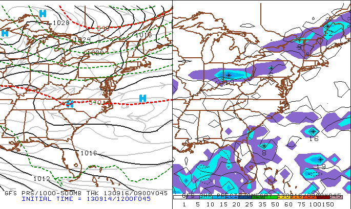
The only precipitation in our near future will be on Monday when a weak cold front crosses over the Great Lakes moving southeast as seen in the below maps of surface pressure & 3 hour precipitation... The blue H's that represent high pressure behind Lake Superior will move right back into place on Tuesday for the remainder of the work week.
Temperatures in the 80's are going to be a rarity real soon with normal high temperatures dropping into the mid 70's. The upcoming week will reflect that, with temperatures generally in the low 70's.
The only precipitation in our near future will be on Monday when a weak cold front crosses over the Great Lakes moving southeast as seen in the below maps of surface pressure & 3 hour precipitation... The blue H's that represent high pressure behind Lake Superior will move right back into place on Tuesday for the remainder of the work week.
Meteorological Fall began on September 1st, but the Autumn Equinox that most of you are more familiar with will be Sunday, September 22nd. The night-time chills will soon be making their presence felt!
Have a great weekend. Take care & be well.
- JL
Have a great weekend. Take care & be well.
- JL

 RSS Feed
